Estimated Value: $351,454 - $390,000
--
Bed
--
Bath
2,292
Sq Ft
$162/Sq Ft
Est. Value
About This Home
This home is located at 60014 Thew Loop, Cove, OR 97824 and is currently estimated at $370,727, approximately $161 per square foot. 60014 Thew Loop is a home located in Union County with nearby schools including Cove Charter School and Grande Ronde Mennonite.
Ownership History
Date
Name
Owned For
Owner Type
Purchase Details
Closed on
Sep 2, 2021
Sold by
Gekeler Gary L and Gekeler Rebecca N
Bought by
Brinton Cody D and Brinton Lori D
Current Estimated Value
Home Financials for this Owner
Home Financials are based on the most recent Mortgage that was taken out on this home.
Original Mortgage
$185,000
Outstanding Balance
$139,306
Interest Rate
2.1%
Mortgage Type
New Conventional
Estimated Equity
$231,421
Create a Home Valuation Report for This Property
The Home Valuation Report is an in-depth analysis detailing your home's value as well as a comparison with similar homes in the area
Home Values in the Area
Average Home Value in this Area
Purchase History
| Date | Buyer | Sale Price | Title Company |
|---|---|---|---|
| Brinton Cody D | $385,000 | Eastern Oregon Title Inc |
Source: Public Records
Mortgage History
| Date | Status | Borrower | Loan Amount |
|---|---|---|---|
| Open | Brinton Cody D | $185,000 |
Source: Public Records
Tax History Compared to Growth
Tax History
| Year | Tax Paid | Tax Assessment Tax Assessment Total Assessment is a certain percentage of the fair market value that is determined by local assessors to be the total taxable value of land and additions on the property. | Land | Improvement |
|---|---|---|---|---|
| 2025 | $1,710 | $177,610 | $51,370 | $126,240 |
| 2024 | $1,661 | $172,440 | $49,870 | $122,570 |
| 2023 | $1,712 | $167,420 | $48,420 | $119,000 |
| 2022 | $1,565 | $162,544 | $47,010 | $115,534 |
| 2021 | $1,452 | $157,810 | $45,640 | $112,170 |
| 2020 | $1,429 | $155,290 | $47,010 | $108,280 |
| 2019 | $1,393 | $151,380 | $46,250 | $105,130 |
| 2018 | $1,390 | $150,761 | $46,639 | $104,122 |
| 2017 | $1,347 | $146,370 | $45,280 | $101,090 |
| 2016 | $1,333 | $133,950 | $42,880 | $91,070 |
| 2015 | $1,292 | $136,250 | $43,320 | $92,930 |
| 2014 | $1,292 | $142,210 | $39,760 | $102,450 |
| 2013 | $1,408 | $141,516 | $38,581 | $102,935 |
Source: Public Records
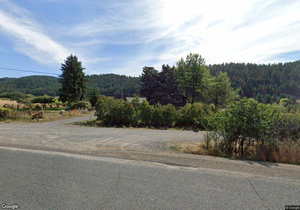
Map
Nearby Homes
- 59926 Comstock Rd
- 0 Rose Ridge Rd Unit 3
- 0 Rose Ridge Rd Unit 1
- 0 Rose Ridge Rd Unit 22290306
- 0 Rose Ridge Rd Unit 2
- 301 High Valley Rd
- 0 Conklin Ln Unit 232609065
- 69717 Antles Ln
- 0 Antles Ln Unit 436244681
- 69431 Antles Ln
- 69431 Antles Ln Unit 1
- 61938 High Valley Rd
- 1137 N Bellwood St
- 141 E Bryan Ave
- 650 E Chestnut St
- 527 S Dewey St
- 558 E Fulton St
- 610 E Fulton St
- 306 S Main St
- 845 W Arch St
- 68295 Mill Creek Ln
- 60026 Thew Loop
- 60056 Thew Loop
- 68277 Mill Creek Ln
- 68390 Mill Creek Ln
- 60024 Thew Loop
- 60072 Comstock Rd
- 68435 Mill Creek Ln
- 69820 Hidden Valley Ln
- 69834 Hidden Valley Ln
- 60040 Thew Loop
- 68498 Mill Cr Ln
- 69906 Hidden Valley Ln
- 69947 Hidden Valley Ln
- 0 Hidden Valley Ln
- 0 Comstock Rd
- 68498 Mill Creek Ln
- 60076 Mcneill Rd
- 69797 Hidden Valley Ln