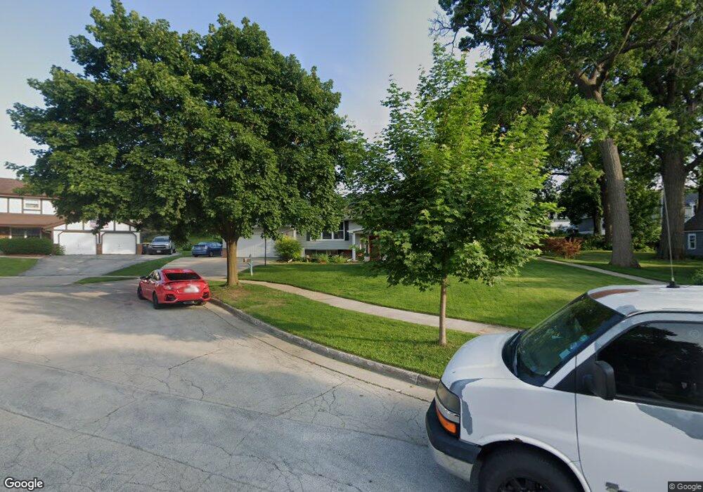
601 Grove St Waukesha, WI 53186
Estimated Value: $440,000 - $549,000
5
Beds
3
Baths
2,807
Sq Ft
$171/Sq Ft
Est. Value
About This Home
This home is located at 601 Grove St, Waukesha, WI 53186 and is currently estimated at $481,021, approximately $171 per square foot. 601 Grove St is a home located in Waukesha County with nearby schools including Hadfield Elementary School, Les Paul Middle School - Central Campus, and South High School.
Ownership History
Date
Name
Owned For
Owner Type
Purchase Details
Closed on
Nov 30, 2016
Sold by
Powell Phillip Er and Powell Susan L
Bought by
Powell Phillip R and Powell Susan L
Current Estimated Value
Purchase Details
Closed on
Feb 7, 2008
Sold by
Lewis Susan L
Bought by
Powell Phillip R and Powell Susan L
Purchase Details
Closed on
Dec 2, 2003
Sold by
Lewis Susan Lee and Lewis Susan L
Bought by
Lewis Susan L and Susan Lewis Living Trust
Purchase Details
Closed on
Oct 30, 2003
Sold by
Lewis Peter Elliott
Bought by
Lewis Susan Lee
Create a Home Valuation Report for This Property
The Home Valuation Report is an in-depth analysis detailing your home's value as well as a comparison with similar homes in the area
Home Values in the Area
Average Home Value in this Area
Purchase History
| Date | Buyer | Sale Price | Title Company |
|---|---|---|---|
| Powell Phillip R | -- | None Available | |
| Powell Phillip R | -- | None Available | |
| Lewis Susan L | -- | None Available | |
| Lewis Susan L | -- | -- | |
| Lewis Susan Lee | -- | -- |
Source: Public Records
Tax History Compared to Growth
Tax History
| Year | Tax Paid | Tax Assessment Tax Assessment Total Assessment is a certain percentage of the fair market value that is determined by local assessors to be the total taxable value of land and additions on the property. | Land | Improvement |
|---|---|---|---|---|
| 2024 | $5,251 | $353,100 | $99,400 | $253,700 |
| 2023 | $5,108 | $353,100 | $99,400 | $253,700 |
| 2022 | $4,760 | $248,000 | $83,100 | $164,900 |
| 2021 | $4,873 | $248,000 | $83,100 | $164,900 |
| 2020 | $4,707 | $248,000 | $83,100 | $164,900 |
| 2019 | $4,561 | $248,000 | $83,100 | $164,900 |
| 2018 | $4,350 | $231,800 | $79,400 | $152,400 |
| 2017 | $4,336 | $231,800 | $79,400 | $152,400 |
| 2016 | $4,405 | $220,800 | $79,400 | $141,400 |
| 2015 | $4,378 | $220,800 | $79,400 | $141,400 |
| 2014 | $4,369 | $216,500 | $79,400 | $137,100 |
| 2013 | $4,474 | $216,500 | $79,400 | $137,100 |
Source: Public Records
Map
Nearby Homes
- 125 Tenny Ave
- 131 Wisconsin Ave
- 403 Midland Ave
- 1037 Windsor Dr
- 137 Wisconsin Ave
- 1343 Hillside Dr
- S21W23079 Hillside Dr
- 1021 Arcadian Ave
- W230S2425 Morningside Dr
- 1103 Arcadian Ave
- 1422 E Racine Ave
- 401 S Grand Ave
- 100 E Main St Unit 403
- 100 E Main St Unit 307
- 512 E Main St
- 1021 Aurora St
- 917 E Roberta Ave
- 953 Genesee St
- 1139 White Rock Ave
- 930 Harding Ave