601 Hidden Brook Trail Maylene, AL 35114
Estimated Value: $283,847 - $319,000
Studio
--
Bath
1,722
Sq Ft
$172/Sq Ft
Est. Value
About This Home
This home is located at 601 Hidden Brook Trail, Maylene, AL 35114 and is currently estimated at $295,962, approximately $171 per square foot. 601 Hidden Brook Trail is a home located in Shelby County with nearby schools including Thompson Intermediate School, Thompson Middle School, and Thompson High School.
Ownership History
Date
Name
Owned For
Owner Type
Purchase Details
Closed on
Apr 7, 2016
Sold by
Davis Stephanie Kelly and Davis Michael C
Bought by
Thompson Teresa Brasfield and Thompson Johnnie
Current Estimated Value
Purchase Details
Closed on
May 28, 2008
Sold by
Adams Homes Llc
Bought by
Davis Stephanie Kelly and Davis Michael C
Home Financials for this Owner
Home Financials are based on the most recent Mortgage that was taken out on this home.
Original Mortgage
$163,900
Interest Rate
5.86%
Mortgage Type
Unknown
Create a Home Valuation Report for This Property
The Home Valuation Report is an in-depth analysis detailing your home's value as well as a comparison with similar homes in the area
Home Values in the Area
Average Home Value in this Area
Purchase History
| Date | Buyer | Sale Price | Title Company |
|---|---|---|---|
| Thompson Teresa Brasfield | $155,000 | None Available | |
| Davis Stephanie Kelly | $173,900 | None Available |
Source: Public Records
Mortgage History
| Date | Status | Borrower | Loan Amount |
|---|---|---|---|
| Previous Owner | Davis Stephanie Kelly | $163,900 |
Source: Public Records
Tax History
| Year | Tax Paid | Tax Assessment Tax Assessment Total Assessment is a certain percentage of the fair market value that is determined by local assessors to be the total taxable value of land and additions on the property. | Land | Improvement |
|---|---|---|---|---|
| 2024 | $1,466 | $27,140 | $0 | $0 |
| 2023 | -- | $25,280 | $0 | $0 |
| 2022 | $0 | $20,860 | $0 | $0 |
| 2021 | $0 | $18,920 | $0 | $0 |
| 2020 | $0 | $17,900 | $0 | $0 |
| 2019 | $794 | $17,400 | $0 | $0 |
| 2017 | $0 | $15,800 | $0 | $0 |
| 2015 | $788 | $15,360 | $0 | $0 |
| 2014 | $769 | $15,000 | $0 | $0 |
Source: Public Records
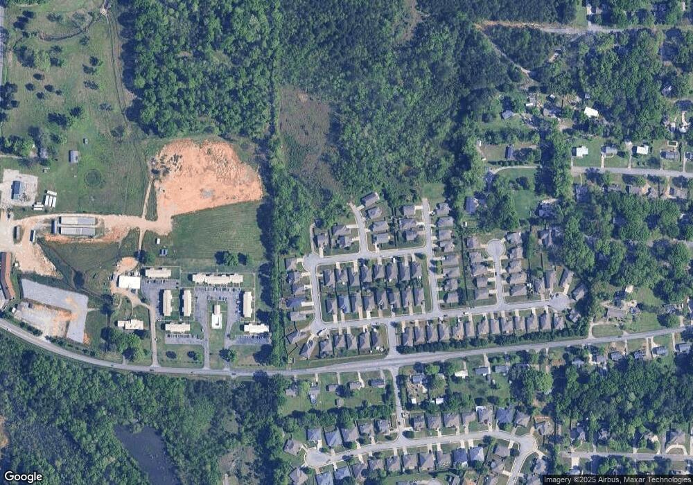
Map
Nearby Homes
- 1807 Apache Way
- 2001 1st Ave W
- 1805 Mohawk Dr
- 445 Ramsgate Dr
- 120 Mayfair Park
- 208 Queens Gate
- 501 Ramsgate Dr
- 306 Mayfair Cir
- 236 Queens Gate
- 1349 Old Boston Rd
- 312 Cornwall Dr
- 542 Navajo Trail
- 537 Ramsgate Dr
- 544 Ramsgate Dr
- 1317 Old Boston Rd
- 305 Cedar Grove Ct
- 309 Cedar Grove Ct
- 545 Ramsgate Dr
- 549 Ramsgate Dr
- 1317 W Navajo Dr
- 601 Hidden Brook Trail
- 605 Hidden Brook Trail
- 605 Hidden Brook Trail
- 309 Stoney Trail
- 309 Stoney Trail Unit 46
- 312 Stoney Trail
- 312 Stoney Trail Unit 49
- 600 Hidden Brook Trail
- 308 Stoney Trail
- 308 Stoney Trail Unit 48
- 602 Hidden Brook Trail
- 304 Stoney Trail
- 604 Hidden Brook Trail Unit 42
- 604 Hidden Brook Trail
- 604 Hidden Brook Trail Unit Lot 42
- 320 Stoney Trail
- 320 Stoney Trail Unit 51
- 608 Hidden Brook Trail
- 608 Hidden Brook Trail
- 324 Stoney Trail
Your Personal Tour Guide
Ask me questions while you tour the home.