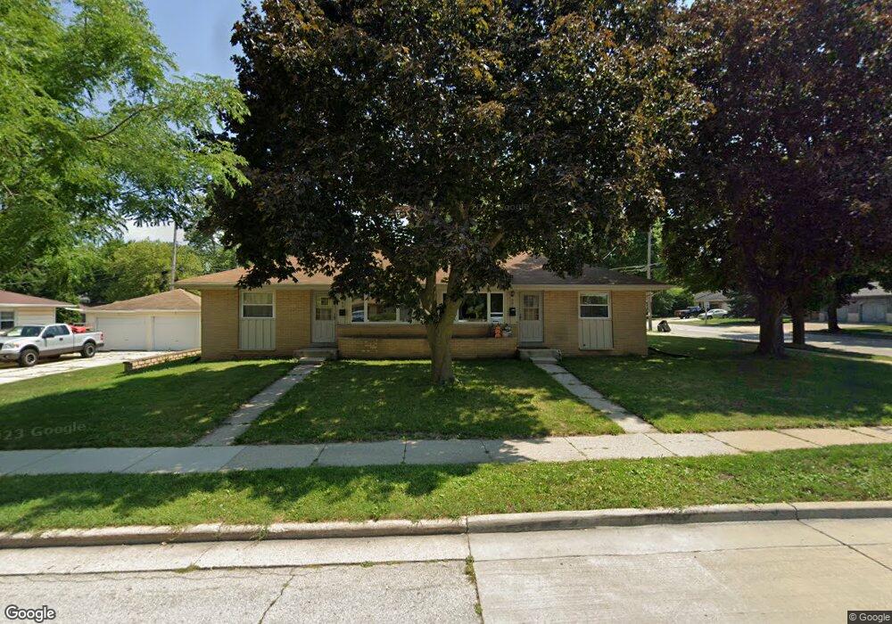
601 N Moreland Blvd Waukesha, WI 53188
Estimated Value: $329,000 - $378,000
4
Beds
2
Baths
1,680
Sq Ft
$215/Sq Ft
Est. Value
About This Home
This home is located at 601 N Moreland Blvd, Waukesha, WI 53188 and is currently estimated at $360,810, approximately $214 per square foot. 601 N Moreland Blvd is a home located in Waukesha County with nearby schools including Hawthorne Elementary School, Butler Middle School, and North High School.
Ownership History
Date
Name
Owned For
Owner Type
Purchase Details
Closed on
Apr 4, 2003
Sold by
Golemgeske Norma E
Bought by
Persich Kristin J
Current Estimated Value
Home Financials for this Owner
Home Financials are based on the most recent Mortgage that was taken out on this home.
Original Mortgage
$130,000
Outstanding Balance
$56,339
Interest Rate
5.87%
Mortgage Type
Purchase Money Mortgage
Estimated Equity
$304,471
Create a Home Valuation Report for This Property
The Home Valuation Report is an in-depth analysis detailing your home's value as well as a comparison with similar homes in the area
Home Values in the Area
Average Home Value in this Area
Purchase History
| Date | Buyer | Sale Price | Title Company |
|---|---|---|---|
| Persich Kristin J | $150,000 | -- |
Source: Public Records
Mortgage History
| Date | Status | Borrower | Loan Amount |
|---|---|---|---|
| Open | Persich Kristin J | $130,000 |
Source: Public Records
Tax History Compared to Growth
Tax History
| Year | Tax Paid | Tax Assessment Tax Assessment Total Assessment is a certain percentage of the fair market value that is determined by local assessors to be the total taxable value of land and additions on the property. | Land | Improvement |
|---|---|---|---|---|
| 2024 | $5,121 | $334,600 | $58,000 | $276,600 |
| 2023 | $5,017 | $334,600 | $58,000 | $276,600 |
| 2022 | $4,529 | $228,200 | $52,600 | $175,600 |
| 2021 | $4,663 | $228,200 | $52,600 | $175,600 |
| 2020 | $4,455 | $228,200 | $52,600 | $175,600 |
| 2019 | $4,341 | $228,200 | $52,600 | $175,600 |
| 2018 | $4,198 | $217,300 | $49,500 | $167,800 |
| 2017 | $4,153 | $217,300 | $49,500 | $167,800 |
| 2016 | $3,952 | $198,900 | $49,500 | $149,400 |
| 2015 | $4,024 | $198,900 | $49,500 | $149,400 |
| 2014 | $3,902 | $189,400 | $49,500 | $139,900 |
| 2013 | $3,994 | $189,400 | $49,500 | $139,900 |
Source: Public Records
Map
Nearby Homes
- 1328 Meadowlark Ln
- 608 N Grandview Blvd
- 1811 Summit Ave
- 511 N Washington Ave
- 630 Westowne Ave
- 1901 Wall St
- 331 Jasper Ln
- 704 Western Ave
- 1954 Cascade Dr
- 2207 Norwood Dr
- 726 Madison St
- 2300 Norwood Dr
- 1606 Pleasant View Ave
- 2012 Sunkist Ave
- 707 W Moreland Blvd
- 245 S Hine Ave
- 317 Delafield St
- 2202 Lander Ln
- 419 Mountain Ave
- 416 Riverview Ave
- 609 N Moreland Blvd
- 609 N Moreland Blvd Unit 611
- 1240 Summit Ave
- 600 N Moreland Blvd
- 1232 Summit Ave
- 608 N Moreland Blvd
- 608 N Moreland Blvd Unit 610
- 1241 Summit Ave
- 615 N Moreland Blvd
- 1233 Summit Ave
- 1228 Summit Ave
- 521 N Moreland Blvd
- 1250 W Bel Ayr Dr
- 503 N Moreland Blvd
- 614 N Moreland Blvd
- 1225 Summit Ave
- 1224 Summit Ave
- 1239 W Bel Ayr Dr
- 1229 W Bel Ayr Dr
- 1225 W Bel Ayr Dr