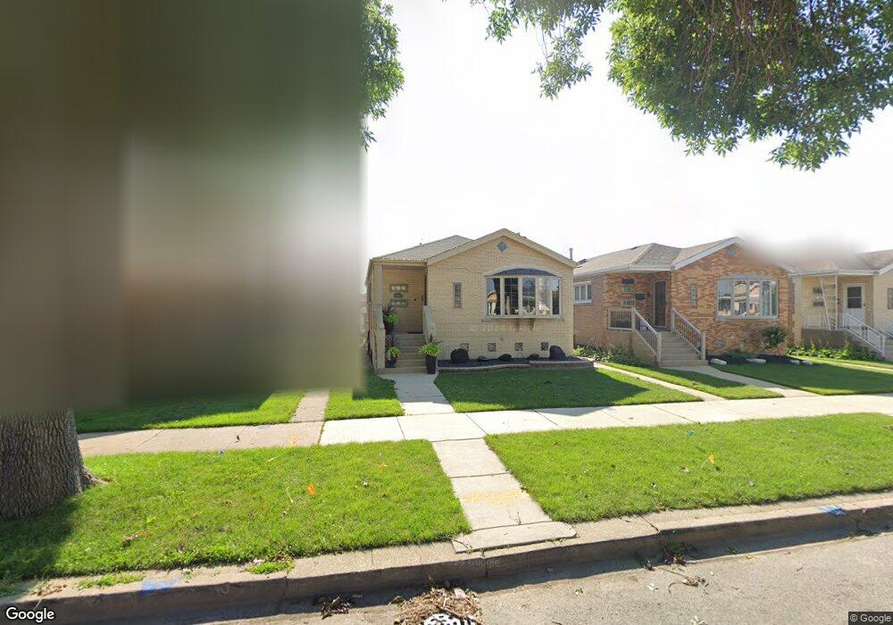
6011 S Mulligan Ave Chicago, IL 60638
Clearing NeighborhoodEstimated Value: $325,000 - $418,000
3
Beds
1
Bath
1,151
Sq Ft
$326/Sq Ft
Est. Value
About This Home
This home is located at 6011 S Mulligan Ave, Chicago, IL 60638 and is currently estimated at $374,734, approximately $325 per square foot. 6011 S Mulligan Ave is a home located in Cook County with nearby schools including Hale Elementary School, Kennedy High School, and St. Symphorosa Catholic School.
Ownership History
Date
Name
Owned For
Owner Type
Purchase Details
Closed on
Sep 29, 2017
Sold by
Puccini Michael
Bought by
Alva Juan M and Esparza Daisy M
Current Estimated Value
Home Financials for this Owner
Home Financials are based on the most recent Mortgage that was taken out on this home.
Original Mortgage
$216,015
Outstanding Balance
$180,094
Interest Rate
3.75%
Mortgage Type
FHA
Estimated Equity
$194,640
Create a Home Valuation Report for This Property
The Home Valuation Report is an in-depth analysis detailing your home's value as well as a comparison with similar homes in the area
Home Values in the Area
Average Home Value in this Area
Purchase History
| Date | Buyer | Sale Price | Title Company |
|---|---|---|---|
| Alva Juan M | $220,000 | Greater Illinois Title |
Source: Public Records
Mortgage History
| Date | Status | Borrower | Loan Amount |
|---|---|---|---|
| Open | Alva Juan M | $216,015 |
Source: Public Records
Tax History Compared to Growth
Tax History
| Year | Tax Paid | Tax Assessment Tax Assessment Total Assessment is a certain percentage of the fair market value that is determined by local assessors to be the total taxable value of land and additions on the property. | Land | Improvement |
|---|---|---|---|---|
| 2024 | $3,964 | $28,000 | $5,733 | $22,267 |
| 2023 | $3,843 | $22,000 | $5,119 | $16,881 |
| 2022 | $3,843 | $22,000 | $5,119 | $16,881 |
| 2021 | $3,754 | $21,999 | $5,118 | $16,881 |
| 2020 | $3,941 | $20,679 | $4,095 | $16,584 |
| 2019 | $3,952 | $22,977 | $4,095 | $18,882 |
| 2018 | $3,885 | $22,977 | $4,095 | $18,882 |
| 2017 | $4,262 | $19,670 | $3,685 | $15,985 |
| 2016 | $3,103 | $19,670 | $3,685 | $15,985 |
| 2015 | $2,801 | $19,670 | $3,685 | $15,985 |
| 2014 | $2,460 | $17,559 | $3,480 | $14,079 |
| 2013 | $2,393 | $17,559 | $3,480 | $14,079 |
Source: Public Records
Map
Nearby Homes
- 5927 S Natchez Ave
- 6046 S Melvina Ave
- 6122 W 59th St
- 6116 S Neenah Ave
- 6104 S Nashville Ave
- 6155 S Moody Ave
- 6123 S Meade Ave
- 5950 S Natoma Ave
- 6331 W 63rd St Unit 2A
- 6031 S Normandy Ave
- 5700 S Neenah Ave
- 5630 S Melvina Ave
- 6230 W 63rd Place
- 6709 W 59th St
- 5810 S Austin Ave
- 6721 W 59th St
- 5827 S Austin Ave
- 6152 S Austin Ave
- 5705 S Natoma Ave
- 6334 S Austin Ave
- 6007 S Mulligan Ave
- 6015 S Mulligan Ave
- 6005 S Mulligan Ave
- 6019 S Mulligan Ave
- 6001 S Mulligan Ave
- 6023 S Mulligan Ave
- 6010 S Mobile Ave
- 6014 S Mobile Ave
- 6006 S Mobile Ave
- 6027 S Mulligan Ave
- 6018 S Mobile Ave
- 6000 S Mobile Ave
- 6022 S Mobile Ave
- 6031 S Mulligan Ave
- 6010 S Mulligan Ave
- 6014 S Mulligan Ave
- 6006 S Mulligan Ave
- 6016 S Mulligan Ave
- 6004 S Mulligan Ave
- 6024 S Mobile Ave