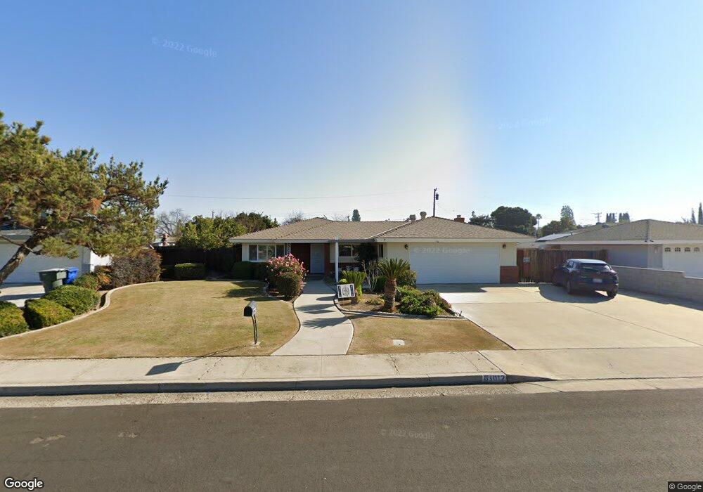
6012 Lori Way Bakersfield, CA 93308
Olive Drive Area NeighborhoodEstimated Value: $376,264 - $414,000
3
Beds
2
Baths
1,699
Sq Ft
$233/Sq Ft
Est. Value
About This Home
This home is located at 6012 Lori Way, Bakersfield, CA 93308 and is currently estimated at $396,316, approximately $233 per square foot. 6012 Lori Way is a home located in Kern County with nearby schools including Olive Drive Elementary School, Norris Middle School, and Centennial High School.
Ownership History
Date
Name
Owned For
Owner Type
Purchase Details
Closed on
Mar 16, 2023
Sold by
Hylton Terry Ray
Bought by
Terry Ray Hylton Living Trust
Current Estimated Value
Purchase Details
Closed on
Nov 20, 2008
Sold by
Hylton Georgia L and Thompson Charles E
Bought by
Georgia Levern Hylton Trust
Purchase Details
Closed on
Mar 14, 2001
Sold by
Rockholt Sally Elaine and The Robert D Stine Family Trus
Bought by
Thompson Roby B and Thompson Zeflee
Create a Home Valuation Report for This Property
The Home Valuation Report is an in-depth analysis detailing your home's value as well as a comparison with similar homes in the area
Home Values in the Area
Average Home Value in this Area
Purchase History
| Date | Buyer | Sale Price | Title Company |
|---|---|---|---|
| Terry Ray Hylton Living Trust | -- | -- | |
| Hylton Terry Ray | -- | -- | |
| Georgia Levern Hylton Trust | -- | Accommodation | |
| Thompson Roby B | $126,000 | First American Title Co |
Source: Public Records
Tax History
| Year | Tax Paid | Tax Assessment Tax Assessment Total Assessment is a certain percentage of the fair market value that is determined by local assessors to be the total taxable value of land and additions on the property. | Land | Improvement |
|---|---|---|---|---|
| 2025 | $2,783 | $196,081 | $45,191 | $150,890 |
| 2024 | $2,721 | $192,237 | $44,305 | $147,932 |
| 2023 | $2,721 | $188,469 | $43,437 | $145,032 |
| 2022 | $2,653 | $184,775 | $42,586 | $142,189 |
| 2021 | $2,570 | $181,153 | $41,751 | $139,402 |
| 2020 | $2,486 | $179,296 | $41,323 | $137,973 |
| 2019 | $2,449 | $179,296 | $41,323 | $137,973 |
| 2018 | $2,367 | $172,336 | $39,719 | $132,617 |
| 2017 | $2,369 | $168,959 | $38,941 | $130,018 |
| 2016 | $2,215 | $165,648 | $38,178 | $127,470 |
| 2015 | $2,163 | $163,161 | $37,605 | $125,556 |
| 2014 | $2,110 | $159,967 | $36,869 | $123,098 |
Source: Public Records
Map
Nearby Homes
- 6008 Eugene Place
- 6619 Desmond Ct
- 7200 Darrin Ave
- 6300 Mignonette St
- 6710 Pinedale Ct
- 6710 Pinecone Ave
- 7503 Olive Dr
- 7001 Eloy Ave
- 7112 Brookshire Ave
- 6101 Olive Dr
- 7113 Brookshire Ave
- 7608 Darrin Ave
- 6400 Madonna Ave
- 5306 Deville Ct
- 6709 Cedarcrest Ave
- 7605 Penny Marie Ave
- 5984 Oakhaven St
- 6009 Carter Ave
- 6600 Cedarcrest Ave
- 7309 Cedarcrest Ave
- 6018 Lori Way
- 6006 Lori Way
- 6013 Crestmore St
- 6007 Crestmore St
- 6019 Crestmore St
- 6001 Crestmore St
- 6000 Lori Way
- 6009 Lori Way
- 6025 Crestmore St
- 6017 Lori Way
- 5925 Crestmore St
- 6031 Crestmore St
- 6023 Lori Way
- 6030 Lori Way
- 6901 Arleta Ave
- 6037 Crestmore St
- 6907 Arleta Ave
- 6718 Desmond Ct
- 6016 Eugene Place
- 6913 Arleta Ave
Your Personal Tour Guide
Ask me questions while you tour the home.