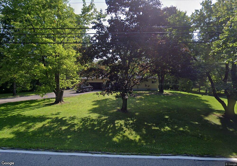
6013 Stone Rd Streetsboro, OH 44241
Estimated Value: $202,000 - $226,000
3
Beds
1
Bath
1,144
Sq Ft
$186/Sq Ft
Est. Value
About This Home
This home is located at 6013 Stone Rd, Streetsboro, OH 44241 and is currently estimated at $212,544, approximately $185 per square foot. 6013 Stone Rd is a home located in Portage County with nearby schools including Streetsboro High School, Crossroads Christian Academy, and Seton Catholic Elementary School.
Ownership History
Date
Name
Owned For
Owner Type
Purchase Details
Closed on
Sep 28, 1999
Sold by
Howe James D and Howe Diana
Bought by
Rice Jeffrey A
Current Estimated Value
Home Financials for this Owner
Home Financials are based on the most recent Mortgage that was taken out on this home.
Original Mortgage
$101,250
Outstanding Balance
$30,805
Interest Rate
7.93%
Estimated Equity
$181,739
Purchase Details
Closed on
Jun 19, 1992
Bought by
Howe James D and Howe Diana
Create a Home Valuation Report for This Property
The Home Valuation Report is an in-depth analysis detailing your home's value as well as a comparison with similar homes in the area
Home Values in the Area
Average Home Value in this Area
Purchase History
| Date | Buyer | Sale Price | Title Company |
|---|---|---|---|
| Rice Jeffrey A | $135,000 | Midland Title Security Inc | |
| Howe James D | $95,000 | -- |
Source: Public Records
Mortgage History
| Date | Status | Borrower | Loan Amount |
|---|---|---|---|
| Open | Rice Jeffrey A | $101,250 |
Source: Public Records
Tax History Compared to Growth
Tax History
| Year | Tax Paid | Tax Assessment Tax Assessment Total Assessment is a certain percentage of the fair market value that is determined by local assessors to be the total taxable value of land and additions on the property. | Land | Improvement |
|---|---|---|---|---|
| 2024 | $2,299 | $55,620 | $13,370 | $42,250 |
| 2023 | $2,213 | $43,830 | $11,030 | $32,800 |
| 2022 | $2,219 | $43,830 | $11,030 | $32,800 |
| 2021 | $2,266 | $43,830 | $11,030 | $32,800 |
| 2020 | $2,126 | $37,700 | $11,030 | $26,670 |
| 2019 | $2,146 | $37,700 | $11,030 | $26,670 |
| 2018 | $1,822 | $36,130 | $11,030 | $25,100 |
| 2017 | $1,822 | $36,130 | $11,030 | $25,100 |
| 2016 | $1,794 | $36,130 | $11,030 | $25,100 |
| 2015 | $1,826 | $36,130 | $11,030 | $25,100 |
| 2014 | $1,842 | $36,130 | $11,030 | $25,100 |
| 2013 | $1,926 | $36,130 | $11,030 | $25,100 |
Source: Public Records
Map
Nearby Homes
- 139 Mccracken Rd
- 174 Sapphire Ln
- 389 Opal Ct
- 6629 Meadow Farm Dr
- 9005 Sandpiper Dr
- 6607 Dunbarton Dr
- 5431 Diana Lynn Dr
- 5473 Young Rd
- 8929 Falcon Dr
- 9085 Sandpiper Dr
- 5465 Park Vista Ct
- 5241 Brockton Dr
- 6751 Pheasants Ridge
- 6869 Saint Regis Blvd
- 644 Teal Ct
- 5937 Ogilby Dr
- 713 Gold Leaf Ct
- 1705 Barlow Rd
- 5791 Sunset Dr
- 9281 Hickory Ridge Dr