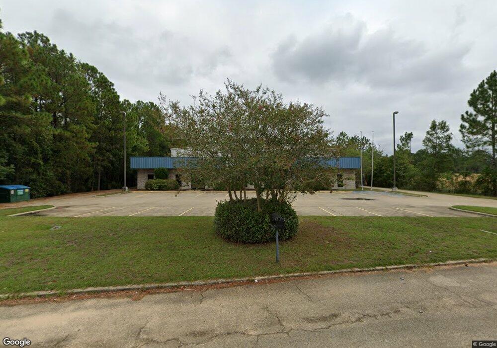
6016 Highway 63 Moss Point, MS 39563
Estimated Value: $1,593,476
Studio
2
Baths
14,294
Sq Ft
$111/Sq Ft
Est. Value
About This Home
This home is located at 6016 Highway 63, Moss Point, MS 39563 and is currently priced at $1,593,476, approximately $111 per square foot. 6016 Highway 63 is a home located in Jackson County with nearby schools including Kreole Primary Elementary School, Escatawpa Upper Elementary School, and Magnolia Middle School.
Ownership History
Date
Name
Owned For
Owner Type
Purchase Details
Closed on
Dec 22, 2021
Sold by
Rct Holdings Llc
Bought by
Provost Living Trust
Current Estimated Value
Purchase Details
Closed on
Nov 30, 2012
Sold by
Phillips Distributors Inc
Bought by
Rct Holdings Llc
Purchase Details
Closed on
Dec 29, 2010
Sold by
Misty Meadows Farms Inc
Bought by
Phillips Distributors Inc
Create a Home Valuation Report for This Property
The Home Valuation Report is an in-depth analysis detailing your home's value as well as a comparison with similar homes in the area
Home Values in the Area
Average Home Value in this Area
Purchase History
| Date | Buyer | Sale Price | Title Company |
|---|---|---|---|
| Provost Living Trust | -- | None Listed On Document | |
| Rct Holdings Llc | -- | -- | |
| Phillips Distributors Inc | -- | -- |
Source: Public Records
Tax History Compared to Growth
Tax History
| Year | Tax Paid | Tax Assessment Tax Assessment Total Assessment is a certain percentage of the fair market value that is determined by local assessors to be the total taxable value of land and additions on the property. | Land | Improvement |
|---|---|---|---|---|
| 2024 | $19,926 | $110,851 | $43,974 | $66,877 |
| 2023 | $19,032 | $110,851 | $43,974 | $66,877 |
| 2022 | $18,098 | $110,850 | $0 | $0 |
| 2021 | $19,764 | $120,991 | $43,974 | $77,017 |
| 2020 | $19,230 | $116,721 | $43,974 | $72,747 |
| 2019 | $19,184 | $116,721 | $43,974 | $72,747 |
| 2018 | $19,184 | $116,721 | $43,974 | $72,747 |
| 2017 | $19,113 | $116,721 | $43,974 | $72,747 |
| 2016 | $5,996 | $116,721 | $43,974 | $72,747 |
| 2015 | $5,697 | $739,380 | $293,160 | $446,220 |
| 2014 | $5,810 | $113,102 | $43,974 | $69,128 |
| 2013 | $5,810 | $113,102 | $43,974 | $69,128 |
Source: Public Records
Map
Nearby Homes
- 5002 Frison Ave
- 4620 Sutton Ave
- 0 Interstate 10
- 7016 Elder Ferry Rd
- 0 Miller Rd
- 0 Tanner St Unit 4134049
- 0 Tanner St Unit 4134051
- 4319 Adcock St
- 7208 Elder Ferry Rd
- 3916 Dutch Bayou Rd
- 7316 Elder Ferry Rd
- 7324 Mississippi 613
- 6908 Barnes Rd
- 6924 Barnes Rd
- 7621 Elder Ferry Rd
- 0 Elder St Unit 4131784
- 4219 Bellview Ave
- 3712 Dale Ln
- 0 Hwy 613 Hwy Unit 4127039
- 0 Hwy 613 Hwy Unit 4129036
- 6016 Mississippi 63
- 6522 Highway 63
- 6528 Highway 63
- 6105 Mississippi 63
- 6212 Elder Ferry Rd
- 6103 Highway 63
- 6200 Highway 63 Hwy
- 6043 Highway 63 Unit 6 And 7
- 6043 Highway 63
- 6706 Highway 63
- 4830 Dutch Bayou Rd
- 6200 Elder Ferry Rd
- 5117 Frison Ave
- NKN Nkn Elder Ferry Rd
- 5116 Frison Ave
- 6208 Elder Ferry Rd
- 6116 Elder Ferry Rd
- 6124 Elder Ferry Rd
- 0 Elder Ferry Point Unit 3248110
- 6216 Elder Ferry Rd