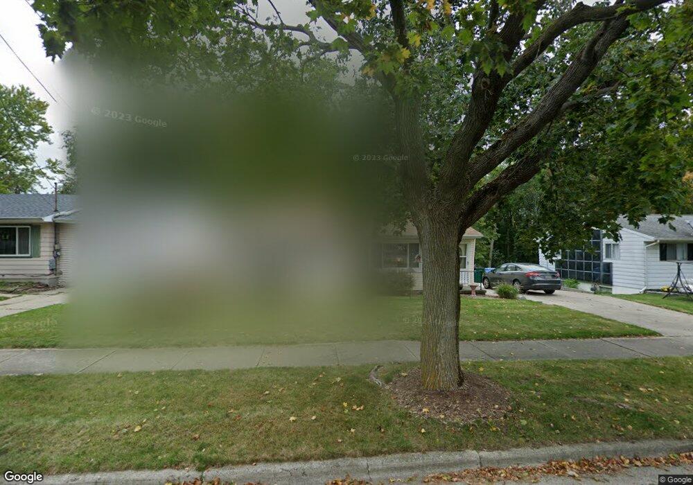
6016 Kyes Rd Lansing, MI 48911
Southern Lansing NeighborhoodEstimated Value: $129,563 - $180,000
Studio
1
Bath
912
Sq Ft
$171/Sq Ft
Est. Value
About This Home
This home is located at 6016 Kyes Rd, Lansing, MI 48911 and is currently estimated at $156,391, approximately $171 per square foot. 6016 Kyes Rd is a home located in Ingham County with nearby schools including Kendon School, Attwood School, and Everett High School.
Ownership History
Date
Name
Owned For
Owner Type
Purchase Details
Closed on
Oct 26, 2023
Sold by
Russell Timothy William
Bought by
Russell Karen Elizabeth
Current Estimated Value
Purchase Details
Closed on
Sep 27, 2022
Sold by
Russell Ann E
Bought by
Russell Ann E
Purchase Details
Closed on
Dec 16, 2016
Sold by
Coven Ruth H
Bought by
Russell Ann E
Purchase Details
Closed on
Dec 5, 2000
Sold by
National City Bank Of Mi/Il
Bought by
National City Bank
Purchase Details
Closed on
Oct 24, 1991
Sold by
Russell Ann E
Bought by
Coven Ruth H
Create a Home Valuation Report for This Property
The Home Valuation Report is an in-depth analysis detailing your home's value as well as a comparison with similar homes in the area
Home Values in the Area
Average Home Value in this Area
Purchase History
| Date | Buyer | Sale Price | Title Company |
|---|---|---|---|
| Russell Karen Elizabeth | -- | None Listed On Document | |
| Russell Ann E | -- | -- | |
| Russell Ann E | -- | None Available | |
| National City Bank | -- | -- | |
| Coven Ruth H | -- | -- |
Source: Public Records
Tax History
| Year | Tax Paid | Tax Assessment Tax Assessment Total Assessment is a certain percentage of the fair market value that is determined by local assessors to be the total taxable value of land and additions on the property. | Land | Improvement |
|---|---|---|---|---|
| 2025 | $3,073 | $70,700 | $6,800 | $63,900 |
| 2024 | $24 | $59,000 | $6,800 | $52,200 |
| 2023 | $2,882 | $53,000 | $6,800 | $46,200 |
| 2022 | $2,598 | $48,800 | $8,100 | $40,700 |
| 2021 | $2,544 | $48,000 | $6,800 | $41,200 |
| 2020 | $2,528 | $45,700 | $6,800 | $38,900 |
| 2019 | $2,424 | $42,000 | $6,800 | $35,200 |
| 2018 | $2,271 | $39,600 | $6,800 | $32,800 |
| 2017 | $2,984 | $39,600 | $6,800 | $32,800 |
| 2016 | $1,963 | $36,100 | $6,800 | $29,300 |
| 2015 | $1,963 | $35,400 | $13,517 | $21,883 |
| 2014 | $1,963 | $34,700 | $16,221 | $18,479 |
Source: Public Records
Map
Nearby Homes
- 5902 Hilliard Rd
- 6029 Ellendale Dr
- 218 Raritan Rd
- 1020 R G Curtiss Ave
- 1015 Brad St
- 5636 Ellendale Dr
- 115 E Claremore Dr
- 6421 S Washington Ave
- 1014 W Northrup St
- 6444 Sommerset Rd
- 6235 Yunker St
- 510 Sawyer Rd
- 1406 Weymouth Ct
- 6429 Rosedale Rd
- 208 E Northrup St
- 6037 Hughes Rd
- 1309 Penrod Ct
- 5221 Tulip Ave
- 5620 Kaynorth Rd
- 5650 Hughes Rd