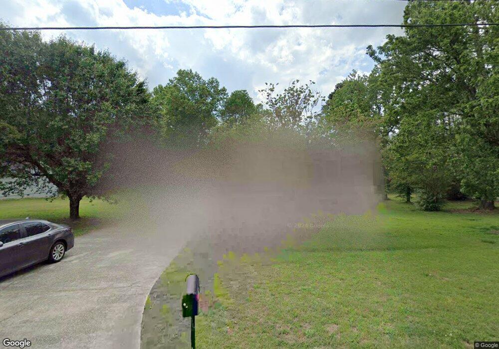
602 Cloudland Dr Stockbridge, GA 30281
Estimated Value: $245,000 - $270,000
3
Beds
2
Baths
1,516
Sq Ft
$168/Sq Ft
Est. Value
About This Home
This home is located at 602 Cloudland Dr, Stockbridge, GA 30281 and is currently estimated at $253,948, approximately $167 per square foot. 602 Cloudland Dr is a home located in Henry County with nearby schools including Fairview Elementary School, Austin Road Middle School, and Stockbridge High School.
Ownership History
Date
Name
Owned For
Owner Type
Purchase Details
Closed on
Nov 20, 2017
Sold by
Allen Quentin Antoine
Bought by
Allen Quentin A and Allen Keosha N
Current Estimated Value
Home Financials for this Owner
Home Financials are based on the most recent Mortgage that was taken out on this home.
Original Mortgage
$117,727
Outstanding Balance
$99,673
Interest Rate
4.25%
Mortgage Type
FHA
Estimated Equity
$154,275
Purchase Details
Closed on
Sep 20, 2013
Sold by
Pyron Lorri J
Bought by
Pyron Rodney S
Home Financials for this Owner
Home Financials are based on the most recent Mortgage that was taken out on this home.
Original Mortgage
$74,750
Interest Rate
4.57%
Mortgage Type
New Conventional
Create a Home Valuation Report for This Property
The Home Valuation Report is an in-depth analysis detailing your home's value as well as a comparison with similar homes in the area
Home Values in the Area
Average Home Value in this Area
Purchase History
| Date | Buyer | Sale Price | Title Company |
|---|---|---|---|
| Allen Quentin A | -- | -- | |
| Allen Quentin Antoine | $119,900 | -- | |
| Pyron Rodney S | -- | -- |
Source: Public Records
Mortgage History
| Date | Status | Borrower | Loan Amount |
|---|---|---|---|
| Open | Allen Quentin Antoine | $117,727 | |
| Closed | Allen Quentin A | $117,727 | |
| Previous Owner | Pyron Rodney S | $74,750 |
Source: Public Records
Tax History
| Year | Tax Paid | Tax Assessment Tax Assessment Total Assessment is a certain percentage of the fair market value that is determined by local assessors to be the total taxable value of land and additions on the property. | Land | Improvement |
|---|---|---|---|---|
| 2025 | $2,646 | $102,280 | $14,000 | $88,280 |
| 2024 | $2,646 | $97,080 | $14,000 | $83,080 |
| 2023 | $2,058 | $93,920 | $10,000 | $83,920 |
| 2022 | $2,268 | $81,440 | $10,000 | $71,440 |
| 2021 | $1,875 | $64,800 | $10,000 | $54,800 |
| 2020 | $1,645 | $55,080 | $6,000 | $49,080 |
| 2019 | $1,522 | $49,880 | $6,000 | $43,880 |
| 2018 | $1,403 | $44,840 | $6,000 | $38,840 |
| 2016 | $1,187 | $36,960 | $6,000 | $30,960 |
| 2015 | $997 | $31,480 | $6,000 | $25,480 |
| 2014 | $707 | $24,040 | $4,800 | $19,240 |
Source: Public Records
Map
Nearby Homes
- 51 AC Rex Rd
- 113 Black Oak Ct
- 2132 E Atlanta Rd
- 175 Northtowne Cove
- 4619 Rex Rd
- 4609 Rex Rd
- 4599 Rex Rd
- 128 Northtowne Cove
- 51 Ac Rex Rd
- 176 Stokes Dr
- 241 Glenloch Ct
- 151 Glenloch Pkwy Unit 2
- 145 Glenloch Pkwy
- 270 Fairfield Dr
- 156 Blake Ln
- 1796 E Atlanta Rd
- 115 Belmont Farms Dr
- 491 Thurman Rd Unit TRACT C
- 40 Belmont Park Ln
- 125 Belmont Farms Dr
- 604 Cloudland Dr
- 600 Cloudland Dr
- 700 Cloudland Ct
- 606 Cloudland Dr
- 5004 Rex Rd Unit 2
- 608 Cloudland Dr
- 702 Cloudland Ct
- 709 Cloudland Ct
- 4943 Rex Rd
- 5006 Rex Rd
- 4961 Rex Rd
- 607 Cloudland Dr
- 610 Cloudland Dr
- 4925 Rex Rd
- 5001 Rex Rd
- 704 Cloudland Ct
- 5008 Rex Rd
- 707 Cloudland Ct
- 707 Cloudland Ct
- 707 Cloudland Ct Unit 4
Your Personal Tour Guide
Ask me questions while you tour the home.