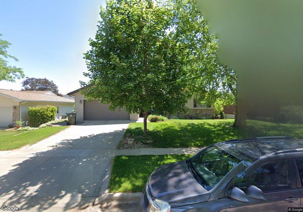
602 Fireside Dr Cedar Falls, IA 50613
Estimated Value: $322,000 - $344,000
3
Beds
3
Baths
1,470
Sq Ft
$224/Sq Ft
Est. Value
About This Home
This home is located at 602 Fireside Dr, Cedar Falls, IA 50613 and is currently estimated at $329,216, approximately $223 per square foot. 602 Fireside Dr is a home located in Black Hawk County with nearby schools including Helen A. Hansen Elementary School, Holmes Junior High School, and Cedar Falls High School.
Ownership History
Date
Name
Owned For
Owner Type
Purchase Details
Closed on
Mar 12, 2020
Sold by
Galvin Joshua A and Galvin Tiffnay
Bought by
Galvin Amy M
Current Estimated Value
Purchase Details
Closed on
May 14, 2010
Sold by
Miller Sam W and Miller Susan M
Bought by
Galvin Joshua A and Galvin Amy M
Home Financials for this Owner
Home Financials are based on the most recent Mortgage that was taken out on this home.
Original Mortgage
$220,433
Outstanding Balance
$147,975
Interest Rate
5.16%
Mortgage Type
FHA
Estimated Equity
$181,241
Create a Home Valuation Report for This Property
The Home Valuation Report is an in-depth analysis detailing your home's value as well as a comparison with similar homes in the area
Home Values in the Area
Average Home Value in this Area
Purchase History
| Date | Buyer | Sale Price | Title Company |
|---|---|---|---|
| Galvin Amy M | -- | None Available | |
| Galvin Joshua A | $224,500 | None Available |
Source: Public Records
Mortgage History
| Date | Status | Borrower | Loan Amount |
|---|---|---|---|
| Open | Galvin Joshua A | $220,433 |
Source: Public Records
Tax History Compared to Growth
Tax History
| Year | Tax Paid | Tax Assessment Tax Assessment Total Assessment is a certain percentage of the fair market value that is determined by local assessors to be the total taxable value of land and additions on the property. | Land | Improvement |
|---|---|---|---|---|
| 2025 | $4,290 | $342,300 | $43,130 | $299,170 |
| 2024 | $4,290 | $266,620 | $43,130 | $223,490 |
| 2023 | $4,426 | $266,620 | $43,130 | $223,490 |
| 2022 | $4,480 | $239,780 | $43,130 | $196,650 |
| 2021 | $4,198 | $239,780 | $43,130 | $196,650 |
| 2020 | $4,114 | $225,410 | $28,760 | $196,650 |
| 2019 | $4,114 | $225,410 | $28,760 | $196,650 |
| 2018 | $3,766 | $212,550 | $28,760 | $183,790 |
| 2017 | $3,852 | $212,550 | $28,760 | $183,790 |
| 2016 | $3,602 | $212,550 | $28,760 | $183,790 |
| 2015 | $3,602 | $212,550 | $28,760 | $183,790 |
| 2014 | $3,644 | $212,550 | $28,760 | $183,790 |
Source: Public Records
Map
Nearby Homes
- 538 Fireside Dr
- 2201 W 8th St
- 2126 Oxford Ln
- 2126 Coventry Ln
- 1104 Warwick Dr
- 423 Chateau Ct
- 2907 W 3rd St
- 3702 Apollo St
- 0 W 1st St
- 502 Oak Park Blvd
- 1618 Quail Ridge Rd
- 1916 Shelden Ave
- 223 Winding Ridge Rd
- 3413 Pheasant Dr
- 127 N Genevieve St
- 1212 W 7th St
- 214 N Francis St
- 3603 Apollo St
- 1125 W 12th St
- 2706 Country Meadow Ln
- 550 Fireside Dr
- 608 Fireside Dr
- 607 Birdsall Dr
- 525 Birdsall Dr
- 544 Fireside Dr
- 614 Fireside Dr
- 515 Birdsall Dr
- 603 Fireside Dr
- 613 Birdsall Dr
- 551 Fireside Dr
- 613 Fireside Dr
- 624 Fireside Dr
- 619 Birdsall Dr
- 510 Fireside Dr
- 539 Fireside Dr
- 602 Birdsall Dr
- 621 Fireside Dr
- 520 Birdsall Dr
- 608 Birdsall Dr
- 612 Barnett Dr