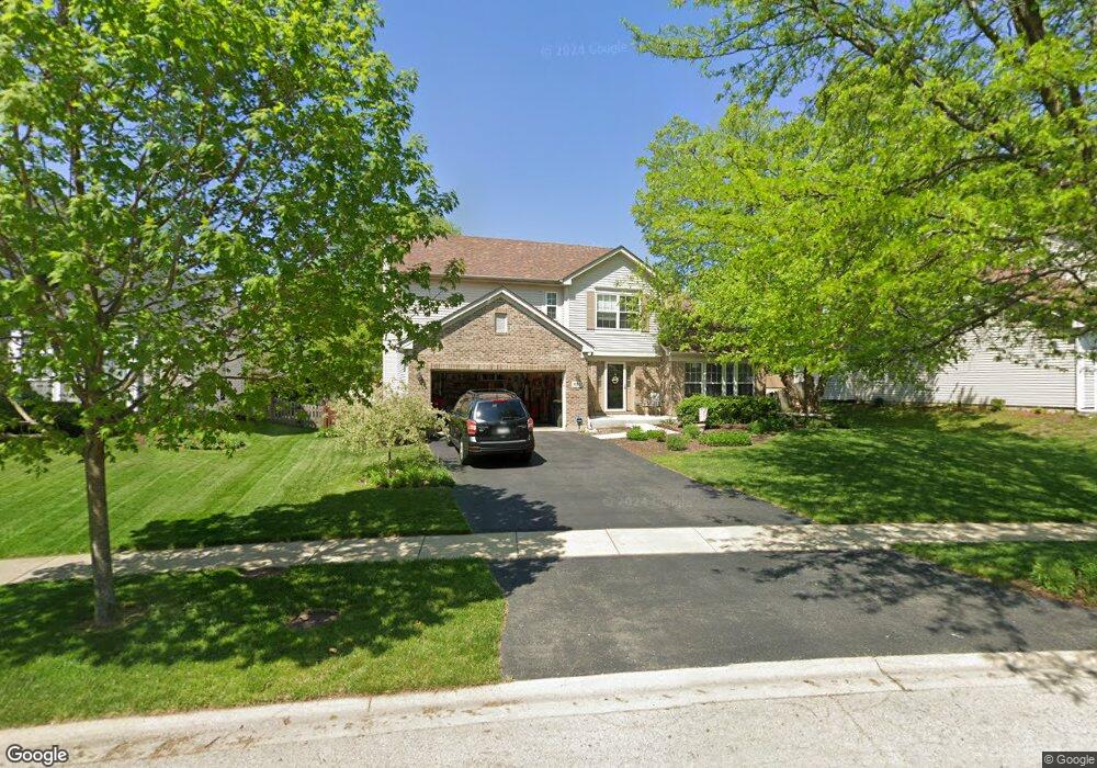
602 Manhattan Cir Unit 2 Oswego, IL 60543
Northwest Oswego NeighborhoodEstimated Value: $419,000 - $438,000
4
Beds
3
Baths
2,424
Sq Ft
$177/Sq Ft
Est. Value
About This Home
This home is located at 602 Manhattan Cir Unit 2, Oswego, IL 60543 and is currently estimated at $429,894, approximately $177 per square foot. 602 Manhattan Cir Unit 2 is a home located in Kendall County with nearby schools including Fox Chase Elementary School, Traughber Junior High School, and Oswego High School.
Ownership History
Date
Name
Owned For
Owner Type
Purchase Details
Closed on
Aug 29, 2003
Sold by
Richard Smykal Inc
Bought by
Walden Steven M and Walden Catherine J
Current Estimated Value
Home Financials for this Owner
Home Financials are based on the most recent Mortgage that was taken out on this home.
Original Mortgage
$199,850
Outstanding Balance
$92,328
Interest Rate
6.18%
Mortgage Type
Purchase Money Mortgage
Estimated Equity
$337,566
Create a Home Valuation Report for This Property
The Home Valuation Report is an in-depth analysis detailing your home's value as well as a comparison with similar homes in the area
Home Values in the Area
Average Home Value in this Area
Purchase History
| Date | Buyer | Sale Price | Title Company |
|---|---|---|---|
| Walden Steven M | $498,000 | Chicago Title Insurance Co |
Source: Public Records
Mortgage History
| Date | Status | Borrower | Loan Amount |
|---|---|---|---|
| Open | Walden Steven M | $199,850 |
Source: Public Records
Tax History Compared to Growth
Tax History
| Year | Tax Paid | Tax Assessment Tax Assessment Total Assessment is a certain percentage of the fair market value that is determined by local assessors to be the total taxable value of land and additions on the property. | Land | Improvement |
|---|---|---|---|---|
| 2024 | $8,892 | $121,503 | $22,647 | $98,856 |
| 2023 | $7,915 | $107,525 | $20,042 | $87,483 |
| 2022 | $7,915 | $98,647 | $18,387 | $80,260 |
| 2021 | $7,846 | $94,853 | $17,680 | $77,173 |
| 2020 | $8,051 | $91,205 | $17,000 | $74,205 |
| 2019 | $7,713 | $86,351 | $17,000 | $69,351 |
| 2018 | $7,909 | $87,792 | $25,664 | $62,128 |
| 2017 | $7,642 | $80,543 | $23,545 | $56,998 |
| 2016 | $7,509 | $78,197 | $22,859 | $55,338 |
| 2015 | $7,393 | $73,771 | $21,565 | $52,206 |
| 2014 | -- | $69,595 | $20,344 | $49,251 |
| 2013 | -- | $70,297 | $20,549 | $49,748 |
Source: Public Records
Map
Nearby Homes
- 107 Kristine St
- 173 Dolores St
- 2100 Light Rd Unit 109
- 2300 Light Rd Unit 209
- 2600 Light Rd Unit 210
- 1415 State Route 31
- 458 Greenview Ln
- 435 Fawn Dr
- 7.43 Acres Vacant La State Route 31
- 608 Clearwater Ct
- 602 Clearwater Ct Unit 2
- 11-13 W Anchor Rd
- 805 Cougar Ln
- 5.43 B-3 Commercial State Route 31
- 141 River Mist Dr
- 338 Millstream Ln Unit 1
- 156 River Mist Dr
- 2110 State Route 31
- 505 Parkland Ct
- 238 Willowwood Dr
- 604 Manhattan Cir
- 600 Manhattan Cir
- 151 Dolores St
- 606 Manhattan Cir
- 338 Century Dr Unit 2
- 153 Dolores St
- 149 Dolores St
- 603 Manhattan Cir Unit 2
- 147 Dolores St
- 155 Dolores St Unit 1
- 336 Century Dr Unit 2
- 608 Manhattan Cir
- 605 Manhattan Cir Unit 2
- 157 Dolores St
- 145 Dolores St
- 607 Manhattan Cir
- 610 Manhattan Cir Unit 2
- 334 Century Dr Unit 2
- 150 Dolores St
- 159 Dolores St