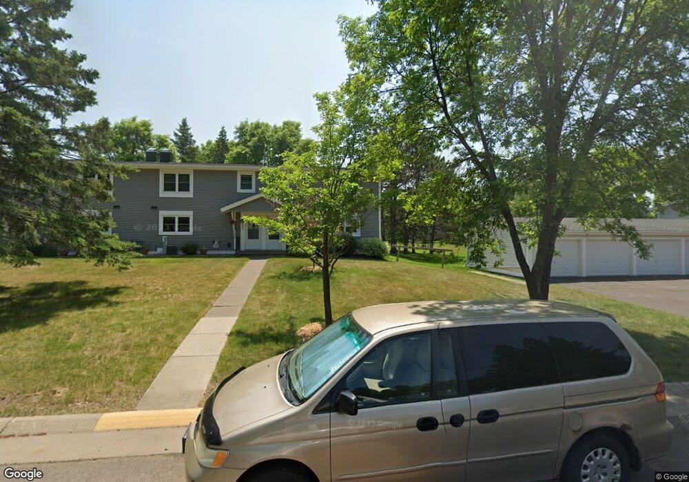
602 Selfridge Dr Unit 57D Duluth, MN 55811
Kenwood NeighborhoodEstimated Value: $237,000 - $246,000
3
Beds
2
Baths
1,152
Sq Ft
$209/Sq Ft
Est. Value
About This Home
This home is located at 602 Selfridge Dr Unit 57D, Duluth, MN 55811 and is currently estimated at $241,312, approximately $209 per square foot. 602 Selfridge Dr Unit 57D is a home located in St. Louis County with nearby schools including Lowell Elementary School, Lincoln Park Middle School, and Denfeld High School.
Ownership History
Date
Name
Owned For
Owner Type
Purchase Details
Closed on
Dec 27, 2001
Sold by
Metzer Shawn
Bought by
Deming Kyle W and Deming Jennifer A L
Current Estimated Value
Home Financials for this Owner
Home Financials are based on the most recent Mortgage that was taken out on this home.
Original Mortgage
$82,555
Interest Rate
6.92%
Mortgage Type
Balloon
Create a Home Valuation Report for This Property
The Home Valuation Report is an in-depth analysis detailing your home's value as well as a comparison with similar homes in the area
Home Values in the Area
Average Home Value in this Area
Purchase History
| Date | Buyer | Sale Price | Title Company |
|---|---|---|---|
| Deming Kyle W | $86,900 | Arrowhead Abstract & Title C |
Source: Public Records
Mortgage History
| Date | Status | Borrower | Loan Amount |
|---|---|---|---|
| Closed | Deming Kyle W | $82,555 |
Source: Public Records
Tax History Compared to Growth
Tax History
| Year | Tax Paid | Tax Assessment Tax Assessment Total Assessment is a certain percentage of the fair market value that is determined by local assessors to be the total taxable value of land and additions on the property. | Land | Improvement |
|---|---|---|---|---|
| 2024 | $2,742 | $222,700 | $22,000 | $200,700 |
| 2023 | $2,742 | $204,200 | $22,000 | $182,200 |
| 2022 | $2,662 | $173,100 | $21,300 | $151,800 |
| 2021 | $1,846 | $135,400 | $20,500 | $114,900 |
| 2020 | $1,676 | $135,400 | $20,500 | $114,900 |
| 2019 | $1,514 | $123,400 | $18,400 | $105,000 |
| 2018 | $1,406 | $114,400 | $18,000 | $96,400 |
| 2017 | $1,396 | $114,400 | $18,000 | $96,400 |
| 2016 | $1,366 | $0 | $0 | $0 |
| 2015 | $1,192 | $73,700 | $12,600 | $61,100 |
| 2014 | $1,192 | $73,700 | $12,600 | $61,100 |
Source: Public Records
Map
Nearby Homes
- 1802 Rice Lake Rd
- 2100 W Arrowhead Rd
- 1804 Rice Lake Rd
- 332 Hickory St
- 205 Bluff's Ridge Ct
- 604 N Blackman Ave
- 20xx Stanford Ave
- 206 E Gilead St
- 48 E Buffalo St
- XXX N Basswood Ave
- 324 Wildwood Dr
- 204 N Blackman Ave
- 2729 Northridge Dr
- 1205 W Arrowhead Rd
- 908 E Skyline Pkwy
- 1919 Middle Ln
- 3 W Linden St
- 1039 Brainerd Ave
- 1950 Middle Ln
- XXX E 13th St
- 606 Selfridge Dr
- 516 Selfridge Dr Unit 58A
- 702 Bong Blvd
- 704 Bong Blvd Unit 36C
- 514 Selfridge Dr Unit 58B
- 706 Bong Blvd
- 512 Selfridge Dr
- 601 Selfridge Dr Unit 56A
- 708 Bong Blvd
- 531 Selfridge Dr Unit 42D
- 603 Selfridge Dr
- 529 Selfridge Dr Unit 42C
- 701 Bong Blvd Unit 37A
- 605 Selfridge Dr Unit 56C
- 703 Bong Blvd
- 823 Hamilton Dr Unit 29D
- 610 Selfridge Dr Unit 38D
- 510 Selfridge Dr Unit 58D
- 527 Selfridge Dr Unit 42B
- 607 Selfridge Dr Unit 56D