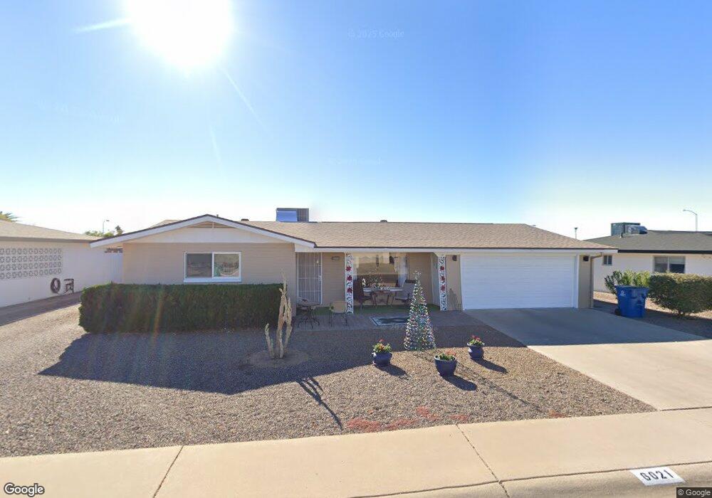
6021 E El Paso St Mesa, AZ 85205
Central Mesa East NeighborhoodEstimated Value: $263,000 - $342,000
2
Beds
2
Baths
1,051
Sq Ft
$286/Sq Ft
Est. Value
About This Home
This home is located at 6021 E El Paso St, Mesa, AZ 85205 and is currently estimated at $300,906, approximately $286 per square foot. 6021 E El Paso St is a home located in Maricopa County with nearby schools including Salk Elementary School, Franklin at Brimhall Elementary School, and Franklin West Elementary School.
Ownership History
Date
Name
Owned For
Owner Type
Purchase Details
Closed on
Apr 13, 2009
Sold by
Fields Ray D
Bought by
Westall Robert A and Westall Betty L
Current Estimated Value
Home Financials for this Owner
Home Financials are based on the most recent Mortgage that was taken out on this home.
Original Mortgage
$66,400
Outstanding Balance
$41,454
Interest Rate
4.71%
Mortgage Type
New Conventional
Estimated Equity
$259,452
Create a Home Valuation Report for This Property
The Home Valuation Report is an in-depth analysis detailing your home's value as well as a comparison with similar homes in the area
Home Values in the Area
Average Home Value in this Area
Purchase History
| Date | Buyer | Sale Price | Title Company |
|---|---|---|---|
| Westall Robert A | $83,000 | American Title Service Agenc |
Source: Public Records
Mortgage History
| Date | Status | Borrower | Loan Amount |
|---|---|---|---|
| Open | Westall Robert A | $66,400 |
Source: Public Records
Tax History
| Year | Tax Paid | Tax Assessment Tax Assessment Total Assessment is a certain percentage of the fair market value that is determined by local assessors to be the total taxable value of land and additions on the property. | Land | Improvement |
|---|---|---|---|---|
| 2025 | $1,040 | $11,006 | -- | -- |
| 2024 | $1,048 | $10,482 | -- | -- |
| 2023 | $1,048 | $22,130 | $4,420 | $17,710 |
| 2022 | $1,023 | $16,660 | $3,330 | $13,330 |
| 2021 | $1,021 | $15,210 | $3,040 | $12,170 |
| 2020 | $1,011 | $13,560 | $2,710 | $10,850 |
| 2019 | $948 | $11,880 | $2,370 | $9,510 |
| 2018 | $923 | $10,910 | $2,180 | $8,730 |
| 2017 | $898 | $9,850 | $1,970 | $7,880 |
| 2016 | $870 | $9,220 | $1,840 | $7,380 |
| 2015 | $816 | $9,120 | $1,820 | $7,300 |
Source: Public Records
Map
Nearby Homes
- 5963 E Enrose Cir
- 6051 E Ensenada St
- 6061 E Evergreen St
- 6134 E Ensenada St
- 5915 E Duncan St
- 864 N 62nd St
- 5862 E Duncan St
- 5853 E Adobe Rd
- 5903 E Duncan St
- 6060 E Dallas St
- 5829 E Enrose St
- 5857 E Dodge St
- 6222 E El Paso St
- 5822 E Duncan St
- 6231 E Ellis St
- 6218 E Dodge St
- 627 N 59th Place
- 649 N 61st Place
- 6117 E Decatur St
- 6149 E Decatur St
- 6013 E El Paso St
- 6020 E Ellis St
- 6028 E Ellis St
- 6012 E Ellis St
- 6018 E El Paso St
- 6037 E El Paso St
- 6026 E El Paso St
- 6010 E El Paso St
- 6036 E Ellis St
- 6034 E El Paso St
- 6045 E El Paso St
- 6041 E El Paso St
- 6019 E Ensenada St
- 6019 E Ellis St
- 6044 E Ellis St
- 6027 E Ensenada St
- 6009 E Ensenada St
- 6011 E Ellis St
- 6042 E El Paso St
- 6011 E Ensenada St
Your Personal Tour Guide
Ask me questions while you tour the home.