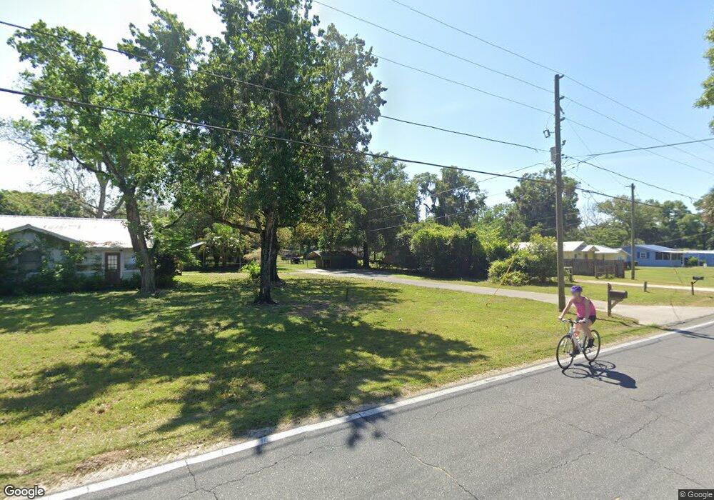
6021 West Anthony Rd Ocala, FL 34479
Northeast Ocala NeighborhoodEstimated Value: $383,000 - $442,000
3
Beds
2
Baths
2,092
Sq Ft
$197/Sq Ft
Est. Value
About This Home
This home is located at 6021 West Anthony Rd, Ocala, FL 34479 and is currently estimated at $411,107, approximately $196 per square foot. 6021 West Anthony Rd is a home located in Marion County with nearby schools including Sparr Elementary School, Howard Middle School, and Vanguard High School.
Ownership History
Date
Name
Owned For
Owner Type
Purchase Details
Closed on
Mar 25, 2025
Sold by
Fusco Thomas P and Fusco Sharon
Bought by
Thomas P Fusco And Sharon C Fusco Joint Revoc and Fusco
Current Estimated Value
Purchase Details
Closed on
Sep 29, 2008
Sold by
Clark Joseph H and Corson Samantha Joette
Bought by
Fusco Thomas P and Fusco Sharon
Home Financials for this Owner
Home Financials are based on the most recent Mortgage that was taken out on this home.
Original Mortgage
$148,700
Interest Rate
6.36%
Mortgage Type
Purchase Money Mortgage
Purchase Details
Closed on
Mar 19, 2004
Sold by
Boerstler William C and Boerstler Esteene W
Bought by
Clark Joseph H
Home Financials for this Owner
Home Financials are based on the most recent Mortgage that was taken out on this home.
Original Mortgage
$116,000
Interest Rate
5.62%
Mortgage Type
Stand Alone First
Create a Home Valuation Report for This Property
The Home Valuation Report is an in-depth analysis detailing your home's value as well as a comparison with similar homes in the area
Home Values in the Area
Average Home Value in this Area
Purchase History
| Date | Buyer | Sale Price | Title Company |
|---|---|---|---|
| Thomas P Fusco And Sharon C Fusco Joint Revoc | -- | None Listed On Document | |
| Fusco Thomas P | $230,000 | Ocala Land Title Insurance A | |
| Clark Joseph H | $145,000 | First American Title Ins Co |
Source: Public Records
Mortgage History
| Date | Status | Borrower | Loan Amount |
|---|---|---|---|
| Previous Owner | Fusco Thomas P | $148,700 | |
| Previous Owner | Clark Joseph H | $116,000 |
Source: Public Records
Tax History
| Year | Tax Paid | Tax Assessment Tax Assessment Total Assessment is a certain percentage of the fair market value that is determined by local assessors to be the total taxable value of land and additions on the property. | Land | Improvement |
|---|---|---|---|---|
| 2025 | $1,932 | $130,779 | -- | -- |
| 2024 | $1,691 | $127,093 | -- | -- |
| 2023 | $1,691 | $123,391 | -- | -- |
| 2022 | $1,596 | $119,797 | $0 | $0 |
| 2021 | $1,587 | $116,308 | $0 | $0 |
| 2020 | $1,572 | $114,702 | $0 | $0 |
| 2019 | $1,544 | $112,123 | $0 | $0 |
| 2018 | $1,456 | $110,032 | $0 | $0 |
| 2017 | $1,429 | $107,769 | $0 | $0 |
| 2016 | $1,379 | $104,775 | $0 | $0 |
| 2015 | $1,385 | $104,047 | $0 | $0 |
| 2014 | $1,298 | $103,221 | $0 | $0 |
Source: Public Records
Map
Nearby Homes
- HWY 441 and W Anthony Rd
- 2227 NW 23rd Rd
- 2303 NW 23rd Rd
- 2211 NW 23rd Rd
- 590 NE 63rd St
- 6497 W Anthony Rd
- 450 NE 55th St
- 285 NW 65th St
- 380 NE 53rd St
- 0 NE 6th Ct
- 208 NE 70th St
- 685 NW 67th Place
- 5028 W Anthony Rd
- 7101 W Anthony Rd Unit 49
- 7101 W Anthony Rd Unit Lot 56
- 7101 W Anthony Rd Unit Lot 54
- 7101 W Anthony Rd Unit 19
- 7101 W Anthony Rd Unit 65
- 7101 W Anthony Rd Unit 35
- 7101 W Anthony Rd Unit 27
- 6001 W Anthony Rd
- 5975 W Anthony Rd
- 6031 West Anthony Rd
- 6121 West Anthony Rd Unit NE
- 273 NE 59th St
- 241 NE 59th St
- 305 NE 59th St
- 209 NE 59th St
- 5959 W Anthony Rd
- 345 NE 59th St
- 8595 W Anthony Rd
- 701 W Anthony Rd Unit 4
- 701 W Anthony Rd Unit 30
- 701 W Anthony Rd Unit 74
- 6713 W Anthony Rd
- 701 W Anthony Rd Unit 6
- 701 W Anthony Rd Unit 34
- 701 W Anthony Rd Unit 35
- 701 W Anthony Rd Unit 69
- 701 W Anthony Rd Unit 8
Your Personal Tour Guide
Ask me questions while you tour the home.