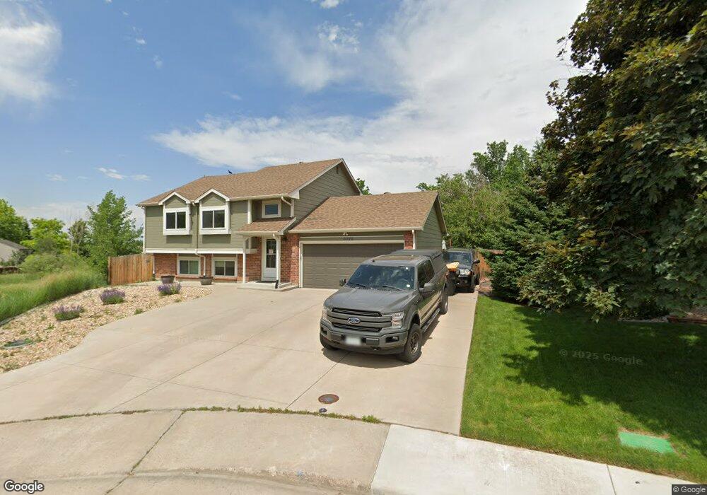
6026 S Simms Ct Littleton, CO 80127
Foothill Green NeighborhoodEstimated Value: $561,000 - $642,000
3
Beds
2
Baths
1,666
Sq Ft
$354/Sq Ft
Est. Value
About This Home
This home is located at 6026 S Simms Ct, Littleton, CO 80127 and is currently estimated at $590,322, approximately $354 per square foot. 6026 S Simms Ct is a home located in Jefferson County with nearby schools including Powderhorn Elementary School, Summit Ridge Middle School, and Dakota Ridge Senior High School.
Ownership History
Date
Name
Owned For
Owner Type
Purchase Details
Closed on
Aug 30, 2018
Sold by
Morris Johnie W and Morris Barbara B
Bought by
Derington Travis W and Ceja Nichole L
Current Estimated Value
Home Financials for this Owner
Home Financials are based on the most recent Mortgage that was taken out on this home.
Original Mortgage
$392,656
Outstanding Balance
$347,055
Interest Rate
5.25%
Mortgage Type
FHA
Estimated Equity
$243,267
Create a Home Valuation Report for This Property
The Home Valuation Report is an in-depth analysis detailing your home's value as well as a comparison with similar homes in the area
Home Values in the Area
Average Home Value in this Area
Purchase History
| Date | Buyer | Sale Price | Title Company |
|---|---|---|---|
| Derington Travis W | $399,900 | Legend Title Company Inc |
Source: Public Records
Mortgage History
| Date | Status | Borrower | Loan Amount |
|---|---|---|---|
| Open | Derington Travis W | $392,656 |
Source: Public Records
Tax History Compared to Growth
Tax History
| Year | Tax Paid | Tax Assessment Tax Assessment Total Assessment is a certain percentage of the fair market value that is determined by local assessors to be the total taxable value of land and additions on the property. | Land | Improvement |
|---|---|---|---|---|
| 2024 | $3,421 | $34,933 | $14,950 | $19,983 |
| 2023 | $3,421 | $34,933 | $14,950 | $19,983 |
| 2022 | $2,896 | $29,028 | $10,781 | $18,247 |
| 2021 | $2,933 | $29,863 | $11,091 | $18,772 |
| 2020 | $2,657 | $27,120 | $9,949 | $17,171 |
| 2019 | $2,624 | $27,120 | $9,949 | $17,171 |
| 2018 | $1,682 | $23,985 | $9,328 | $14,657 |
| 2017 | $1,535 | $23,985 | $9,328 | $14,657 |
| 2016 | $1,006 | $18,570 | $6,877 | $11,693 |
| 2015 | $724 | $18,570 | $6,877 | $11,693 |
| 2014 | $724 | $14,328 | $6,120 | $8,208 |
Source: Public Records
Map
Nearby Homes
- 11445 W Maplewood Ave
- 11371 W Parkhill Dr
- 5995 S Taft Way
- 5941 S Quail Way
- 11877 W Bowles Cir
- 6077 S Pierson St
- 6097 S Pierson St
- 6057 S Pierson St
- 6017 S Pierson St
- 6126 S Pierson St
- 6424 S Routt St
- 6034 S Parfet St
- 5981 S Vivian St
- 12299 W Burgundy Ave
- 6459 S Queen Way
- 12319 W Burgundy Ave
- 11993 W Long Cir Unit 204
- 5843 S Pierson St
- 6506 S Robb Way
- 11962 W Long Cir Unit 203
- 6036 S Simms Ct
- 6046 S Simms Ct
- 6056 S Simms Ct
- 6037 S Simms Ct
- 6027 S Simms Ct
- 11672 W Lake Ave
- 11692 W Lake Ave
- 6065 S Routt St
- 6055 S Routt St
- 6075 S Routt St
- 6045 S Routt St
- 6057 S Simms Ct
- 11702 W Lake Ave
- 6066 S Simms Ct
- 6085 S Routt St
- 11652 W Lake Ave
- 6035 S Routt St
- 6095 S Routt St
- 11712 W Lake Ave
- 6025 S Routt St