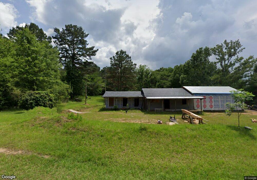
603 Eugie Palmer Rd Mendenhall, MS 39114
Estimated Value: $202,000 - $219,000
3
Beds
1
Bath
1,105
Sq Ft
$190/Sq Ft
Est. Value
About This Home
This home is located at 603 Eugie Palmer Rd, Mendenhall, MS 39114 and is currently estimated at $210,500, approximately $190 per square foot. 603 Eugie Palmer Rd is a home located in Simpson County with nearby schools including Mendenhall Elementary School, Mendenhall Junior High School, and Mendenhall High School.
Ownership History
Date
Name
Owned For
Owner Type
Purchase Details
Closed on
Apr 11, 2025
Sold by
Shows Linda
Bought by
Shows Joseph and Shows Naomi Vanderford
Current Estimated Value
Purchase Details
Closed on
Aug 7, 2019
Sold by
Fewell Duane and Fewell Terri
Bought by
Shows Joseph
Home Financials for this Owner
Home Financials are based on the most recent Mortgage that was taken out on this home.
Original Mortgage
$38,826
Interest Rate
3.7%
Mortgage Type
New Conventional
Purchase Details
Closed on
Jul 2, 2007
Sold by
Shows Millard D and Shows Regina
Bought by
Fewell Duane and Fewell Terri
Create a Home Valuation Report for This Property
The Home Valuation Report is an in-depth analysis detailing your home's value as well as a comparison with similar homes in the area
Home Values in the Area
Average Home Value in this Area
Purchase History
| Date | Buyer | Sale Price | Title Company |
|---|---|---|---|
| Shows Joseph | -- | None Listed On Document | |
| Shows Joseph | -- | None Listed On Document | |
| Shows Joseph | -- | -- | |
| Fewell Duane | -- | -- |
Source: Public Records
Mortgage History
| Date | Status | Borrower | Loan Amount |
|---|---|---|---|
| Previous Owner | Shows Joseph | $38,826 |
Source: Public Records
Tax History Compared to Growth
Tax History
| Year | Tax Paid | Tax Assessment Tax Assessment Total Assessment is a certain percentage of the fair market value that is determined by local assessors to be the total taxable value of land and additions on the property. | Land | Improvement |
|---|---|---|---|---|
| 2024 | $166 | $2,297 | $0 | $0 |
| 2023 | $166 | $2,261 | $0 | $0 |
| 2022 | $241 | $3,433 | $0 | $0 |
| 2021 | $235 | $3,443 | $0 | $0 |
| 2020 | $501 | $4,632 | $0 | $0 |
| 2019 | $482 | $4,644 | $0 | $0 |
| 2018 | $483 | $4,655 | $0 | $0 |
| 2017 | $481 | $4,643 | $0 | $0 |
| 2016 | $444 | $4,452 | $0 | $0 |
| 2015 | $426 | $4,430 | $0 | $0 |
| 2014 | $424 | $4,409 | $0 | $0 |
Source: Public Records
Map
Nearby Homes
- 000 Hwy 13 Hwy
- 0 Simpson Highway 13 Unit 4111635
- 0 Hwy 13 Hwy
- 113 Williamson Ln
- 310 Polly Ave
- 119 Ashwood Ln
- 0 N East St
- 619 Pittman Dr
- 428 Simpson Cir
- 707 N West St
- 1002 Mark Dr
- 0 0 U S 49
- 0 Campbell Creek Rd
- 306 E Court Ave
- 163 Mississippi 540
- 602 Circle Dr
- 825 Poplar Springs Rd
- 149 Martin Cir
- 211 W Maud Ave
- 0 Everett Church Rd
- 595 Eugie Palmer Rd
- 616 Eugie Palmer Rd
- 233 Main St N
- 569 Eugie Palmer Rd
- 638 Eugie Palmer Rd
- 155 Janice Rd
- 150 Lakeview Dr
- 523 Eugie Palmer Rd
- 148 Southern Oaks Ln
- 505 Eugie Palmer Rd
- 489 Eugie Palmer Rd
- 119 Janice Rd
- 124 Troy Rankin Rd
- 132 Troy Rankin Rd
- 473 Eugie Palmer Rd
- 107 Ponder Rd
- 107 Troy Rankin Rd
- 171 Ponder Rd
- 3485 Simpson Highway 13
- 115 A D May Dr