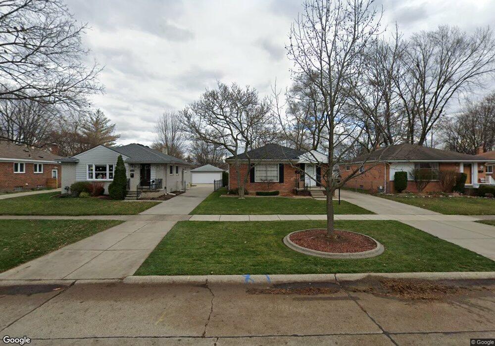
603 Redruth Ave Clawson, MI 48017
Estimated Value: $306,000 - $349,000
3
Beds
1
Bath
1,100
Sq Ft
$293/Sq Ft
Est. Value
About This Home
This home is located at 603 Redruth Ave, Clawson, MI 48017 and is currently estimated at $321,963, approximately $292 per square foot. 603 Redruth Ave is a home located in Oakland County with nearby schools including Clawson Middle School, Clawson High School, and Japhet School.
Ownership History
Date
Name
Owned For
Owner Type
Purchase Details
Closed on
Jan 31, 2006
Sold by
Richardson James M and Richardson Sandra L
Bought by
Stewart Dana
Current Estimated Value
Home Financials for this Owner
Home Financials are based on the most recent Mortgage that was taken out on this home.
Original Mortgage
$134,400
Outstanding Balance
$76,422
Interest Rate
6.37%
Mortgage Type
New Conventional
Estimated Equity
$245,541
Purchase Details
Closed on
Jun 23, 2000
Sold by
Richardson James H
Bought by
Richardson James M
Create a Home Valuation Report for This Property
The Home Valuation Report is an in-depth analysis detailing your home's value as well as a comparison with similar homes in the area
Home Values in the Area
Average Home Value in this Area
Purchase History
| Date | Buyer | Sale Price | Title Company |
|---|---|---|---|
| Stewart Dana | $168,000 | Capital Title Ins Agency | |
| Richardson James M | -- | -- |
Source: Public Records
Mortgage History
| Date | Status | Borrower | Loan Amount |
|---|---|---|---|
| Open | Stewart Dana | $134,400 |
Source: Public Records
Tax History Compared to Growth
Tax History
| Year | Tax Paid | Tax Assessment Tax Assessment Total Assessment is a certain percentage of the fair market value that is determined by local assessors to be the total taxable value of land and additions on the property. | Land | Improvement |
|---|---|---|---|---|
| 2024 | $3,421 | $137,010 | $0 | $0 |
| 2023 | $3,275 | $124,820 | $0 | $0 |
| 2022 | $3,301 | $115,810 | $0 | $0 |
| 2021 | $3,233 | $109,600 | $0 | $0 |
| 2020 | $3,133 | $103,880 | $0 | $0 |
| 2019 | $3,237 | $100,530 | $0 | $0 |
| 2018 | $3,214 | $93,540 | $0 | $0 |
| 2017 | $3,195 | $90,500 | $0 | $0 |
| 2016 | $3,234 | $84,460 | $0 | $0 |
| 2015 | -- | $78,340 | $0 | $0 |
| 2014 | -- | $68,450 | $0 | $0 |
| 2011 | -- | $61,130 | $0 | $0 |
Source: Public Records
Map
Nearby Homes
- 341 Tecumseh St
- 261 Tecumseh St
- 253 Massoit St
- 521 Normandy Rd
- 232 S Manitou Ave
- 312 Jeffrey Ave
- 290 Broadacre Ave
- 515 S Webik Ave
- 1500 Normandy Rd Unit 216
- 609 John M Ave
- 618 Mount Vernon Blvd
- 4345 Crooks Rd Unit 26
- 4227 Crooks Rd
- 351 W Baker Ave
- 1807 Samoset Rd
- 846 Phillips Ave
- 4101 Devon Rd
- 1928 Cresthill Ave
- 306 W 13 Mile Rd
- 4909 Crooks Rd Unit C7
- 613 Redruth Ave
- 555 Redruth Ave
- 623 Redruth Ave
- 545 Redruth Ave
- 608 Nahma Ave
- 556 Nahma Ave
- 633 Redruth Ave
- 535 Redruth Ave
- 620 Nahma Ave
- 618 Nahma Ave
- 626 Nahma Ave
- 641 Redruth Ave
- 536 Nahma Ave
- 525 Redruth Ave
- 524 Nahma Ave
- 556 Redruth Ave
- 649 Redruth Ave
- 638 Nahma Ave
- 515 Redruth Ave
- 520 Massoit Rd