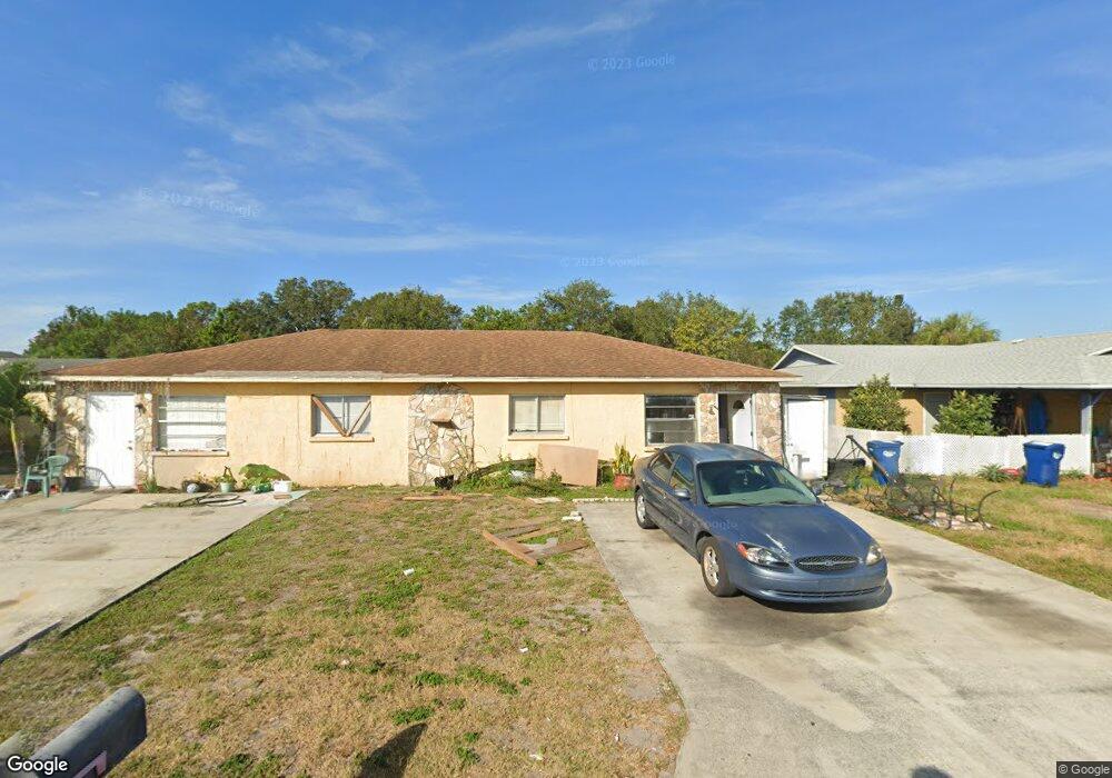
6032 1st St E Unit A Bradenton, FL 34203
Oneco NeighborhoodEstimated Value: $312,618 - $358,000
3
Beds
4
Baths
2,072
Sq Ft
$161/Sq Ft
Est. Value
About This Home
This home is located at 6032 1st St E Unit A, Bradenton, FL 34203 and is currently estimated at $334,155, approximately $161 per square foot. 6032 1st St E Unit A is a home located in Manatee County with nearby schools including Blanche H. Daughtrey Elementary School, W. D. Sugg Middle School, and Bayshore High School.
Ownership History
Date
Name
Owned For
Owner Type
Purchase Details
Closed on
Jun 15, 1995
Sold by
Lofink Beatrice B
Bought by
Forrester Paul S
Current Estimated Value
Home Financials for this Owner
Home Financials are based on the most recent Mortgage that was taken out on this home.
Original Mortgage
$37,700
Interest Rate
8.23%
Create a Home Valuation Report for This Property
The Home Valuation Report is an in-depth analysis detailing your home's value as well as a comparison with similar homes in the area
Home Values in the Area
Average Home Value in this Area
Purchase History
We collect this data history from publicly available records. To have your information removed, we recommend requesting removal directly through your county’s website.
| Date | Buyer | Sale Price | Title Company |
|---|---|---|---|
| Forrester Paul S | $41,900 | -- |
Source: Public Records
Mortgage History
We collect this data history from publicly available records. To have your information removed, we recommend requesting removal directly through your county’s website.
| Date | Status | Borrower | Loan Amount |
|---|---|---|---|
| Closed | Forrester Paul S | $37,700 |
Source: Public Records
Tax History
| Year | Tax Paid | Tax Assessment Tax Assessment Total Assessment is a certain percentage of the fair market value that is determined by local assessors to be the total taxable value of land and additions on the property. | Land | Improvement |
|---|---|---|---|---|
| 2025 | $2,826 | $101,087 | -- | -- |
| 2023 | $2,668 | $234,482 | $46,750 | $187,732 |
| 2022 | $2,240 | $179,254 | $27,000 | $152,254 |
| 2021 | $1,933 | $147,821 | $22,000 | $125,821 |
| 2020 | $1,863 | $134,781 | $22,000 | $112,781 |
| 2019 | $1,802 | $132,739 | $30,000 | $102,739 |
| 2018 | $1,752 | $131,112 | $25,000 | $106,112 |
| 2017 | $1,369 | $96,000 | $0 | $0 |
| 2016 | $1,139 | $65,600 | $0 | $0 |
Source: Public Records
Map
Nearby Homes
- 175 Guava Cir Unit 181
- 181 Guava Cir Unit 187
- 220 Mango St Unit 227
- 20 Peach Ave Unit 288
- 267 Coconut St
- 9 Cherry Ave
- 300 Apricot St Unit 42
- 316 Avacado St
- 304 Apricot St
- 20 Apple Ave Unit 16
- 337 Avocado St Unit 79
- 338 Avocado St Unit 80
- 311 Apricot St
- 343 Avocado St Unit 85
- 603 63rd Ave W Unit E-1
- 603 63rd Ave W Unit L6
- 603 63rd Ave W Unit S 10
- 603 63rd Ave W Unit 6
- 603 63rd Ave W Unit V11
- 603 63rd Ave W Unit Q10
- 6028 1st St E Unit A
- 101 61st Ave E Unit A
- 6024 1st St E Unit B
- 6024 1st St E Unit A
- 6029 1st St E Unit A
- 6033 1st St E Unit B
- 6033 1st St E Unit A
- 6029 2nd St W
- 6020 1st St E Unit A
- 108 60th Avenue Dr E Unit A
- 108 60th Avenue Dr E
- 6019 1st St E Unit A
- 107 61st Ave E Unit A
- 202 60th Avenue Terrace W
- 6023 2nd St W
- 6016 1st St E Unit A
- 6016 1st St E Unit B
- 104 61st Ave E
- 107 60th Avenue Dr E Unit B
- 107 60th Avenue Dr E
Your Personal Tour Guide
Ask me questions while you tour the home.