Estimated Value: $479,000 - $531,487
3
Beds
2
Baths
1,965
Sq Ft
$257/Sq Ft
Est. Value
About This Home
This home is located at 60332 Leopard Dr, Cove, OR 97824 and is currently estimated at $505,244, approximately $257 per square foot. 60332 Leopard Dr is a home located in Union County with nearby schools including Cove Charter School and Grande Ronde Mennonite.
Ownership History
Date
Name
Owned For
Owner Type
Purchase Details
Closed on
Jun 3, 2013
Sold by
Squire Louise R
Bought by
Squire Louise
Current Estimated Value
Purchase Details
Closed on
Feb 3, 2011
Sold by
Woodward Jennifer M
Bought by
Woodward Kenneth S
Home Financials for this Owner
Home Financials are based on the most recent Mortgage that was taken out on this home.
Original Mortgage
$237,350
Outstanding Balance
$153,020
Interest Rate
3.75%
Mortgage Type
FHA
Estimated Equity
$352,224
Purchase Details
Closed on
Feb 18, 2005
Sold by
Gordon Jerry Lee and Gordon Mady
Bought by
Woodward Kenneth S and Woodward Jennifer M
Home Financials for this Owner
Home Financials are based on the most recent Mortgage that was taken out on this home.
Original Mortgage
$132,000
Interest Rate
5.65%
Mortgage Type
New Conventional
Create a Home Valuation Report for This Property
The Home Valuation Report is an in-depth analysis detailing your home's value as well as a comparison with similar homes in the area
Purchase History
| Date | Buyer | Sale Price | Title Company |
|---|---|---|---|
| Squire Louise | -- | None Available | |
| Woodward Kenneth S | -- | Stc | |
| Woodward Kenneth S | $232,500 | Abstract & Title Company |
Source: Public Records
Mortgage History
| Date | Status | Borrower | Loan Amount |
|---|---|---|---|
| Open | Woodward Kenneth S | $237,350 | |
| Closed | Woodward Kenneth S | $132,000 |
Source: Public Records
Tax History
| Year | Tax Paid | Tax Assessment Tax Assessment Total Assessment is a certain percentage of the fair market value that is determined by local assessors to be the total taxable value of land and additions on the property. | Land | Improvement |
|---|---|---|---|---|
| 2025 | $2,209 | $229,420 | $56,020 | $173,400 |
| 2024 | $2,145 | $222,740 | $54,390 | $168,350 |
| 2023 | $2,082 | $216,260 | $52,800 | $163,460 |
| 2022 | $2,022 | $209,954 | $51,269 | $158,685 |
| 2021 | $1,963 | $203,839 | $55,923 | $147,916 |
| 2020 | $1,906 | $197,902 | $54,435 | $143,467 |
| 2019 | $1,850 | $192,138 | $52,850 | $139,288 |
| 2018 | $1,796 | $186,542 | $51,486 | $135,056 |
| 2017 | $1,844 | $181,109 | $50,465 | $130,644 |
| 2016 | $1,793 | $175,834 | $48,905 | $126,929 |
Source: Public Records
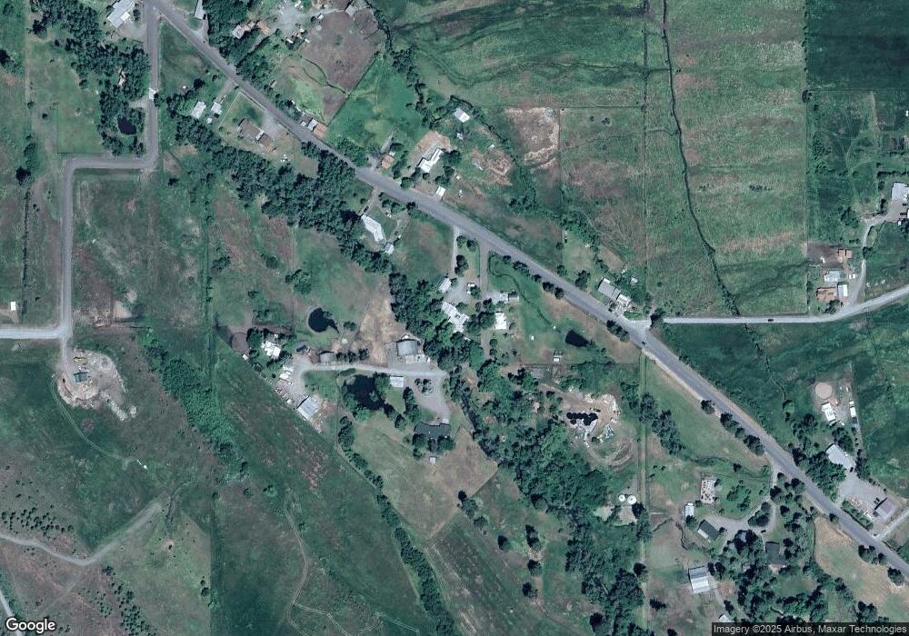
Map
Nearby Homes
- 701 2nd St
- 0 Rose Ridge Rd Unit 3
- 0 Rose Ridge Rd Unit 1
- 0 Rose Ridge Rd Unit 2
- 69478 Haefer Ln
- 1107 Jasper St
- 0 Conklin Ln Unit 232609065
- 59926 Comstock Rd
- 60923 Overlook Dr
- 69431 Antles Ln
- 0 Antles Ln Unit 436244681
- 69717 Antles Ln
- 60908 Stackland Rd
- 61615 High Valley Rd
- 293 E Ivy Ln
- 141 E Bryan Ave
- 169 W Chestnut St
- 527 S Dewey St
- 174 1/2 S Main St
- 206 S Main St
- 60331 Leopard Dr
- 60323 Leopard Dr
- 60320 Leopard Dr
- 68802 Mill Creek Ln
- 68799 Mill Creek Ln
- 68725 Mill Creek Ln
- 68809 Mill Creek Ln
- 60318 Leopard Dr
- 404 Mill Creek Rd
- 0 Rose St
- 407 Mill Creek Rd
- 60347 Rose Ridge Rd
- 67529 Ruth Ln
- 68658 Mill Creek Ln
- 68637 Mill Creek Ln
- 408 Mill Creek Rd
- 505 2nd St
- 508 2nd St
- 67579 Ruth Ln
- 605 2nd St
Your Personal Tour Guide
Ask me questions while you tour the home.