Estimated Value: $1,268,977
--
Bed
--
Bath
15,600
Sq Ft
$81/Sq Ft
Est. Value
About This Home
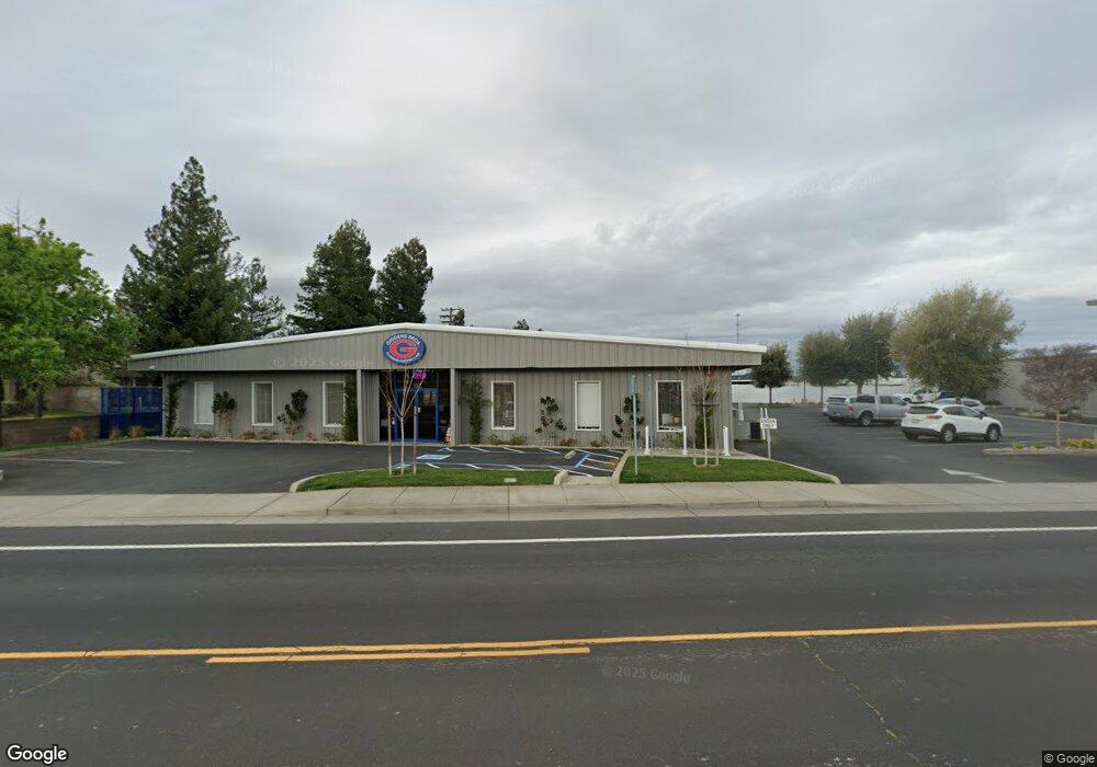
This home is located at 604 N Lincoln Way, Galt, CA 95632 and is currently estimated at $1,268,977, approximately $81 per square foot. 604 N Lincoln Way is a home located in Sacramento County with nearby schools including Lake Canyon Elementary School, Robert L. McCaffrey Middle School, and Galt High School.
Ownership History
Date
Name
Owned For
Owner Type
Purchase Details
Closed on
Oct 12, 2021
Sold by
Herburger Publications Inc
Bought by
B And M Family Trust and Hutchason
Current Estimated Value
Home Financials for this Owner
Home Financials are based on the most recent Mortgage that was taken out on this home.
Original Mortgage
$1,041,200
Interest Rate
6.71%
Mortgage Type
New Conventional
Create a Home Valuation Report for This Property
The Home Valuation Report is an in-depth analysis detailing your home's value as well as a comparison with similar homes in the area
Home Values in the Area
Average Home Value in this Area
Purchase History
| Date | Buyer | Sale Price | Title Company |
|---|---|---|---|
| B And M Family Trust | $1,225,000 | Lennar Title |
Source: Public Records
Mortgage History
| Date | Status | Borrower | Loan Amount |
|---|---|---|---|
| Previous Owner | B And M Family Trust | $1,041,200 |
Source: Public Records
Tax History Compared to Growth
Tax History
| Year | Tax Paid | Tax Assessment Tax Assessment Total Assessment is a certain percentage of the fair market value that is determined by local assessors to be the total taxable value of land and additions on the property. | Land | Improvement |
|---|---|---|---|---|
| 2025 | $13,751 | $1,249,500 | $357,000 | $892,500 |
| 2024 | $13,751 | $1,225,000 | $350,000 | $875,000 |
| 2023 | $10,316 | $916,370 | $79,435 | $836,935 |
| 2022 | $9,900 | $898,403 | $77,878 | $820,525 |
| 2021 | $14,184 | $1,260,449 | $76,351 | $1,184,098 |
| 2020 | $14,752 | $1,308,487 | $75,569 | $1,232,918 |
| 2019 | $15,241 | $1,358,954 | $74,088 | $1,284,866 |
| 2018 | $16,051 | $1,405,232 | $72,636 | $1,332,596 |
| 2017 | $16,205 | $1,447,803 | $71,212 | $1,376,591 |
| 2016 | $16,651 | $1,517,830 | $69,816 | $1,448,014 |
| 2015 | $16,890 | $1,570,616 | $68,768 | $1,501,848 |
| 2014 | $18,036 | $1,648,473 | $67,421 | $1,581,052 |
Source: Public Records
Map
Nearby Homes
- 604 Pringle Ave Unit 94
- 604 Pringle Ave Unit 99
- 604 Pringle Ave Unit 121
- 604 Pringle Ave Unit 87
- 605 Pringle Ave Unit 41
- 605 Pringle Ave Unit 9
- 820 N Lincoln Way Unit 73
- 820 N Lincoln Way Unit 42
- 820 N Lincoln Way Unit 78
- 409 N Lincoln Way
- 10183 Pringle Ave
- 650 Nathaniel Ave
- 809 Ashboro Ln
- 0 Pringle Ave Unit 225089282
- 0 Pringle Ave Unit 225119777
- 350 Palin Ave
- 326 Oak Ave
- 933 Colson Ct
- 663 Canyon Creek Way
- 0 Mcfarland St
- 603 N Lincoln Way
- 607 N Lincoln Way
- 611 N Lincoln Way
- 601 N Lincoln Way
- 539 N Lincoln Way
- 750 Spaans Dr
- 520 N Lincoln Way
- 705 Spaans Dr
- 11 Carol Dr
- 604 Pringle Ave Unit 55
- 604 Pringle Ave Unit 68
- 604 Pringle Ave Unit 129
- 604 Pringle Ave Unit 102
- 604 Pringle Ave Unit 51
- 604 Pringle Ave Unit 1
- 604 Pringle Ave Unit 99
- 604 Pringle Ave Unit 15
- 604 Pringle Ave Unit 62
- 604 Pringle Ave Unit 5
- 604 Pringle Ave Unit 67