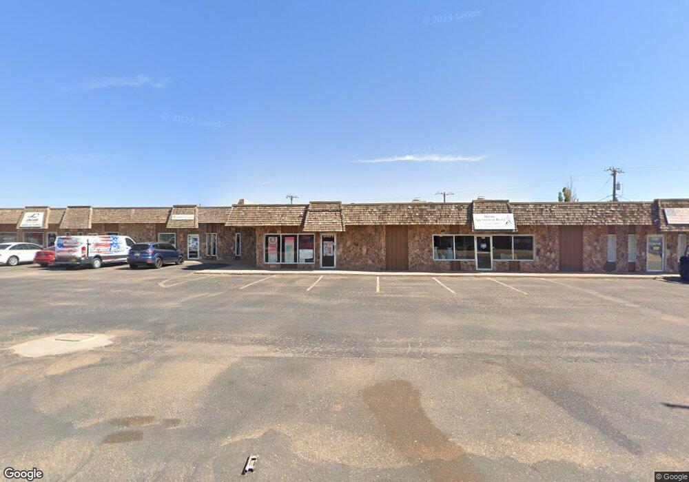
604 W 21st St Clovis, NM 88101
Estimated Value: $807,054
Studio
10
Baths
14,445
Sq Ft
$56/Sq Ft
Est. Value
About This Home
This home is located at 604 W 21st St, Clovis, NM 88101 and is currently estimated at $807,054, approximately $55 per square foot. 604 W 21st St is a home located in Curry County with nearby schools including Highland Elementary School, Marshall Middle School, and Clovis High School.
Ownership History
Date
Name
Owned For
Owner Type
Purchase Details
Closed on
Oct 25, 2022
Sold by
Kim Bunneary
Bought by
Hi-Winds Nm Llc
Current Estimated Value
Purchase Details
Closed on
Jul 7, 2017
Sold by
Hailey Ents Inc
Bought by
Bunneary Kim
Home Financials for this Owner
Home Financials are based on the most recent Mortgage that was taken out on this home.
Original Mortgage
$330,000
Interest Rate
3.95%
Mortgage Type
New Conventional
Create a Home Valuation Report for This Property
The Home Valuation Report is an in-depth analysis detailing your home's value as well as a comparison with similar homes in the area
Purchase History
| Date | Buyer | Sale Price | Title Company |
|---|---|---|---|
| Hi-Winds Nm Llc | -- | Landmark Title | |
| Bunneary Kim | $412,500 | Landmark Title |
Source: Public Records
Mortgage History
| Date | Status | Borrower | Loan Amount |
|---|---|---|---|
| Previous Owner | Bunneary Kim | $330,000 |
Source: Public Records
Tax History
| Year | Tax Paid | Tax Assessment Tax Assessment Total Assessment is a certain percentage of the fair market value that is determined by local assessors to be the total taxable value of land and additions on the property. | Land | Improvement |
|---|---|---|---|---|
| 2025 | $2,017 | $87,283 | $6,600 | $80,683 |
| 2024 | $2,017 | $87,283 | $6,600 | $80,683 |
| 2023 | $2,105 | $87,283 | $6,600 | $80,683 |
| 2022 | $2,218 | $87,283 | $6,600 | $80,683 |
| 2021 | $2,131 | $87,283 | $6,600 | $80,683 |
| 2020 | $2,131 | $87,283 | $6,600 | $80,683 |
| 2019 | $2,128 | $87,283 | $6,600 | $80,683 |
| 2018 | $2,132 | $87,283 | $6,600 | $80,683 |
| 2017 | $1,108 | $46,105 | $6,600 | $39,505 |
| 2016 | $1,108 | $46,105 | $6,600 | $39,505 |
| 2015 | $2,147 | $87,884 | $6,600 | $81,284 |
| 2014 | $2,148 | $87,884 | $6,600 | $81,284 |
Source: Public Records
Map
Nearby Homes
- 716 W 19th St
- 804 Kathie Dr
- 620 W 17th St
- 321 W Christopher Dr
- 801 W Yucca Ave
- 1545 Westchester St
- 1004 Kathie Dr
- 1560 Westchester St
- 2301 Duckworth Ave
- 300 W Yucca Ave
- 908 Harvard St
- 2037 N Hull St
- 112 W Yucca Ave
- 125 Columbia Ln
- 2604 Duckworth Ave
- 701 Sandia Dr
- 212 W Plains Ave
- 1821 Gerry Dr
- 209 Starlite Dr
- 1412 N Reid St
- 2100 La Fonda Rd
- 2104 La Fonda Rd
- 2108 La Fonda Rd
- 701 W 21st St
- 2114 La Fonda Rd
- 112 Circle Dr
- 2116 La Fonda Rd
- 2120 La Fonda Rd
- 700 W 20th St
- 708 W 20th St
- 704 W 20th St
- 2124 La Fonda Rd
- 616 W 20th St
- 325 Murray Dr
- 712 W 20th St
- 2126 La Fonda Rd
- 716 W 20th St
- 612 W 20th St
- 720 W 20th St
- 517 John Doe St
Your Personal Tour Guide
Ask me questions while you tour the home.