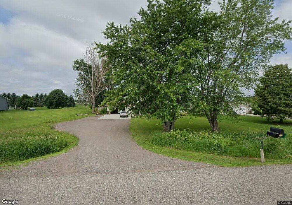
605 21st Ave S Buffalo, MN 55313
Estimated Value: $354,000 - $530,000
5
Beds
2
Baths
2,352
Sq Ft
$188/Sq Ft
Est. Value
About This Home
This home is located at 605 21st Ave S, Buffalo, MN 55313 and is currently estimated at $441,788, approximately $187 per square foot. 605 21st Ave S is a home located in Wright County with nearby schools including Parkside Elementary School, Buffalo Community Middle School, and Buffalo Senior High School.
Ownership History
Date
Name
Owned For
Owner Type
Purchase Details
Closed on
Feb 13, 2023
Sold by
Hab Properties Llc
Bought by
Priley Properties Metro West Llc
Current Estimated Value
Home Financials for this Owner
Home Financials are based on the most recent Mortgage that was taken out on this home.
Original Mortgage
$459,700
Outstanding Balance
$444,721
Interest Rate
6.12%
Mortgage Type
New Conventional
Estimated Equity
-$2,933
Create a Home Valuation Report for This Property
The Home Valuation Report is an in-depth analysis detailing your home's value as well as a comparison with similar homes in the area
Home Values in the Area
Average Home Value in this Area
Purchase History
| Date | Buyer | Sale Price | Title Company |
|---|---|---|---|
| Priley Properties Metro West Llc | $459,700 | -- |
Source: Public Records
Mortgage History
| Date | Status | Borrower | Loan Amount |
|---|---|---|---|
| Open | Priley Properties Metro West Llc | $459,700 |
Source: Public Records
Tax History Compared to Growth
Tax History
| Year | Tax Paid | Tax Assessment Tax Assessment Total Assessment is a certain percentage of the fair market value that is determined by local assessors to be the total taxable value of land and additions on the property. | Land | Improvement |
|---|---|---|---|---|
| 2025 | $4,120 | $332,400 | $88,500 | $243,900 |
| 2024 | $3,852 | $322,500 | $88,500 | $234,000 |
| 2023 | $3,714 | $318,100 | $76,600 | $241,500 |
| 2022 | $3,814 | $283,500 | $59,400 | $224,100 |
| 2021 | $3,756 | $258,700 | $59,400 | $199,300 |
| 2020 | $3,648 | $250,100 | $54,400 | $195,700 |
| 2019 | $3,438 | $234,600 | $0 | $0 |
| 2018 | $3,248 | $233,900 | $0 | $0 |
| 2017 | $3,006 | $220,700 | $0 | $0 |
| 2016 | $2,790 | $0 | $0 | $0 |
| 2015 | $2,654 | $0 | $0 | $0 |
| 2014 | -- | $0 | $0 | $0 |
Source: Public Records
Map
Nearby Homes
- 1400 4th St NE
- 305 14th Ave NE
- 911 Harvest Trail
- 2509 20th St NE
- Biscayne Plan at Settlers Brook
- Courtland II Plan at Settlers Brook
- Walker Plan at Settlers Brook
- Emily Plan at Settlers Brook
- 703 Erickson Ln
- Baxter Plan at Settlers Brook
- Marquette Plan at Settlers Brook
- Berkley Plan at Settlers Brook
- Brighton Plan at Settlers Brook
- Courtland Plan at Settlers Brook
- 822 Erickson Ln
- 818 Erickson Ln
- 829 Erickson Ln
- 825 Erickson Ln
- 815 Erickson Ln
- 823 Erickson Ln
- 609 21st Ave S
- 603 21st Ave S
- 609 609 21st-Avenue-s
- 2012 County Road 34
- 613 21st Ave S
- 2537 10th St NE
- 2010 County Road 34
- 617 617 21st-Avenue-s
- 617 21st Ave S
- 1xxx Taildragger
- 2006 County Road 34
- 701 21st Ave S
- 2256 10th Street Cir NE
- 2801 10th St NE
- 2859 10th St NE
- 504 Carling Ave NE
- 1156 Calder Ave NE
- 1129 Dague Ave NE
- 915 Willems Way
- 970 Dague Ave NE