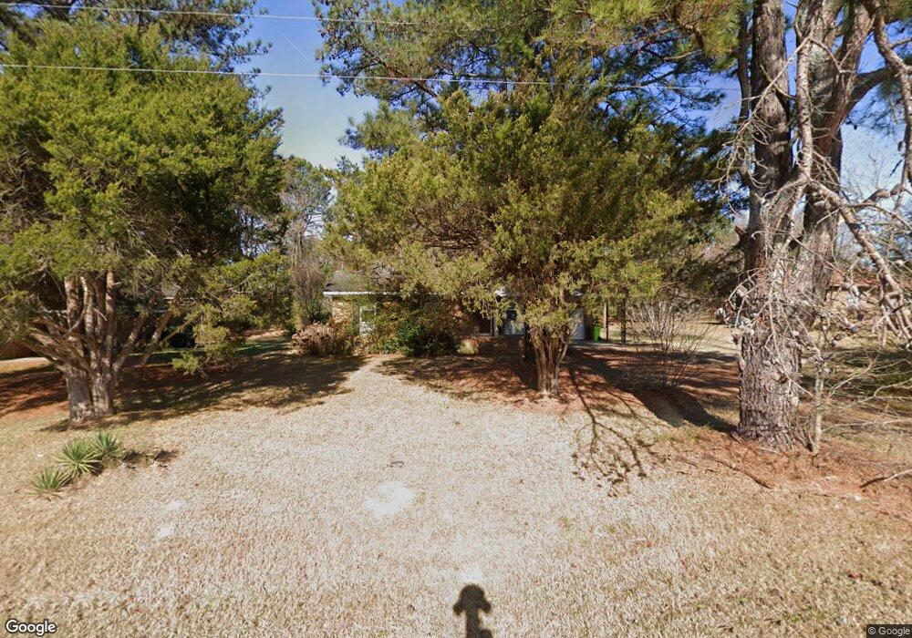
605 3rd St Spring Hope, NC 27882
Estimated Value: $131,810 - $188,000
3
Beds
1
Bath
1,088
Sq Ft
$148/Sq Ft
Est. Value
About This Home
This home is located at 605 3rd St, Spring Hope, NC 27882 and is currently estimated at $160,953, approximately $147 per square foot. 605 3rd St is a home located in Nash County with nearby schools including Spring Hope Elementary School, Southern Nash Middle School, and Southern Nash High School.
Ownership History
Date
Name
Owned For
Owner Type
Purchase Details
Closed on
Oct 12, 2017
Sold by
Gretsch Daniel and Gretsch Jeanette
Bought by
Stipstream Rtp Real Estate Ii Llc
Current Estimated Value
Purchase Details
Closed on
May 22, 2017
Sold by
Wilder William L and Wilder Rena Mae C
Bought by
Gretsch Daniel
Purchase Details
Closed on
Oct 11, 2012
Sold by
Phoenix Express Trust
Bought by
Wilder William L and Wilder Rena Mae C
Purchase Details
Closed on
Jan 28, 2012
Sold by
Wilder William L and Wilder Rena Mae C
Bought by
Phoenix Express Trust
Create a Home Valuation Report for This Property
The Home Valuation Report is an in-depth analysis detailing your home's value as well as a comparison with similar homes in the area
Purchase History
| Date | Buyer | Sale Price | Title Company |
|---|---|---|---|
| Stipstream Rtp Real Estate Ii Llc | -- | None Available | |
| Gretsch Daniel | $26,801 | None Available | |
| Wilder William L | -- | None Available | |
| Phoenix Express Trust | -- | None Available |
Source: Public Records
Tax History
| Year | Tax Paid | Tax Assessment Tax Assessment Total Assessment is a certain percentage of the fair market value that is determined by local assessors to be the total taxable value of land and additions on the property. | Land | Improvement |
|---|---|---|---|---|
| 2025 | $1,006 | $71,890 | $9,990 | $61,900 |
| 2024 | $1,006 | $51,930 | $9,990 | $41,940 |
| 2023 | $400 | $51,930 | $0 | $0 |
| 2022 | $400 | $51,930 | $9,990 | $41,940 |
| 2021 | $400 | $51,930 | $9,990 | $41,940 |
| 2020 | $400 | $51,930 | $9,990 | $41,940 |
| 2019 | $400 | $51,930 | $9,990 | $41,940 |
| 2018 | $400 | $51,930 | $0 | $0 |
| 2017 | $395 | $51,930 | $0 | $0 |
| 2015 | $390 | $51,330 | $0 | $0 |
| 2014 | $390 | $51,330 | $0 | $0 |
Source: Public Records
Map
Nearby Homes
- 0 Reams Rd Unit 100543686
- 95 Autumnwood Ln
- 223 E Railroad St
- 222 E Nash St
- 1381 Scarlet Oak Rd
- 212 Mclean St
- 65 Stream View Way
- 600 S Pine St
- 512 W Nash St
- 874 Embraer Way
- 906 Embraer Way
- 927 Dassault Ln
- 987 Bombardier Aly
- 930 Embraer Way
- 939 Embraer Way
- 955 Embraer Way
- 7315 Beechcraft Ln
- 1011 Bombardier Aly
- 103 Virginia St
- 971 Embraer Way
Your Personal Tour Guide
Ask me questions while you tour the home.