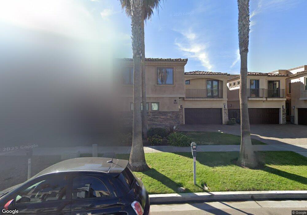
605 N Pacific St Oceanside, CA 92054
Downtown Oceanside NeighborhoodEstimated Value: $1,859,000 - $2,341,134
3
Beds
3
Baths
1,950
Sq Ft
$1,068/Sq Ft
Est. Value
About This Home
This home is located at 605 N Pacific St, Oceanside, CA 92054 and is currently estimated at $2,082,045, approximately $1,067 per square foot. 605 N Pacific St is a home located in San Diego County with nearby schools including Laurel Elementary School, Lincoln Middle School, and Oceanside High School.
Ownership History
Date
Name
Owned For
Owner Type
Purchase Details
Closed on
Jul 15, 2014
Sold by
Walls Debra Ann
Bought by
Walls Family Trust
Current Estimated Value
Purchase Details
Closed on
Nov 17, 2010
Sold by
Walls Robert
Bought by
Walls Debra Ann
Purchase Details
Closed on
Oct 27, 2010
Sold by
Charlebois Gary and Charlebois Barbara
Bought by
Walls Debra Ann
Create a Home Valuation Report for This Property
The Home Valuation Report is an in-depth analysis detailing your home's value as well as a comparison with similar homes in the area
Home Values in the Area
Average Home Value in this Area
Purchase History
| Date | Buyer | Sale Price | Title Company |
|---|---|---|---|
| Walls Family Trust | -- | None Available | |
| Walls Debra Ann | -- | Chicago Title Company | |
| Walls Debra Ann | $1,475,000 | Chicago Title Company |
Source: Public Records
Tax History
| Year | Tax Paid | Tax Assessment Tax Assessment Total Assessment is a certain percentage of the fair market value that is determined by local assessors to be the total taxable value of land and additions on the property. | Land | Improvement |
|---|---|---|---|---|
| 2025 | $20,760 | $1,889,721 | $1,409,287 | $480,434 |
| 2024 | $20,760 | $1,852,668 | $1,381,654 | $471,014 |
| 2023 | $20,122 | $1,816,342 | $1,354,563 | $461,779 |
| 2022 | $19,818 | $1,780,728 | $1,328,003 | $452,725 |
| 2021 | $19,897 | $1,745,813 | $1,301,964 | $443,849 |
| 2020 | $19,279 | $1,727,912 | $1,288,614 | $439,298 |
| 2019 | $18,716 | $1,694,033 | $1,263,348 | $430,685 |
| 2018 | $18,518 | $1,660,818 | $1,238,577 | $422,241 |
| 2017 | $18,180 | $1,628,254 | $1,214,292 | $413,962 |
| 2016 | $17,592 | $1,596,329 | $1,190,483 | $405,846 |
| 2015 | $17,077 | $1,572,351 | $1,172,601 | $399,750 |
| 2014 | $16,410 | $1,541,552 | $1,149,632 | $391,920 |
Source: Public Records
Map
Nearby Homes
- 801-3 N Pacific St
- 400 N The Strand Unit 27
- 835 N Cleveland St Unit E
- 806 N Cleveland St Unit 1
- 912 Mira Mar Place
- 812 N Cleveland St Unit 1
- 355 N Cleveland St Unit 405
- 401 N Coast Hwy Unit 303
- 401 N Coast Hwy Unit 301
- 401 N Coast Hwy Unit 210
- 900 N Cleveland St Unit 33
- 580 Sportfisher Dr
- 999 N Pacific St Unit B103
- 999 N Pacific St Unit F101
- 999 N Pacific St Unit C201
- 999 N Pacific St Unit G321
- 999 N Pacific St Unit B209
- 999 N Pacific St Unit D200
- 999 N Pacific St Unit F204
- 505 N Freeman St Unit 201
- 603 N Pacific St
- 609 N Pacific St
- 607 N Pacific St
- 601 N Pacific St
- 621 N Pacific St
- 621 N Pacific St Unit 108
- 621 N Pacific St Unit 202
- 621 N Pacific St Unit 201
- 621 N Pacific St Unit 203
- 621 N Pacific St Unit 204
- 621 N Pacific St Unit 102
- 621 N Pacific St Unit 101
- 621 N Pacific St Unit 103
- 621 N Pacific St Unit 104
- 621 N Pacific St Unit 207
- 621 N Pacific St Unit 206
- 621 N Pacific St Unit 107
- 621 N Pacific St Unit 105
- 621 N Pacific St Unit 106
- 621 N Pacific St Unit 1
Your Personal Tour Guide
Ask me questions while you tour the home.