Estimated Value: $331,000 - $497,000
Studio
1
Bath
1,932
Sq Ft
$208/Sq Ft
Est. Value
About This Home
This home is located at 60539 Bates Rd, Lenox, MI 48048 and is currently estimated at $402,710, approximately $208 per square foot. 60539 Bates Rd is a home with nearby schools including New Haven High School and Merritt Academy.
Ownership History
Date
Name
Owned For
Owner Type
Purchase Details
Closed on
Jan 12, 2018
Sold by
Moseley Anna Mae M
Bought by
Buscermi Scott and Buscermi Joann
Current Estimated Value
Purchase Details
Closed on
Aug 20, 2004
Sold by
Paramount Construction & Homes Co
Bought by
Moseley John L and Moseley Anna Mae M
Home Financials for this Owner
Home Financials are based on the most recent Mortgage that was taken out on this home.
Original Mortgage
$65,000
Interest Rate
6.1%
Mortgage Type
Purchase Money Mortgage
Create a Home Valuation Report for This Property
The Home Valuation Report is an in-depth analysis detailing your home's value as well as a comparison with similar homes in the area
Home Values in the Area
Average Home Value in this Area
Purchase History
| Date | Buyer | Sale Price | Title Company |
|---|---|---|---|
| Buscermi Scott | $30,500 | None Available | |
| Moseley John L | $75,000 | Colonial Title Company |
Source: Public Records
Mortgage History
| Date | Status | Borrower | Loan Amount |
|---|---|---|---|
| Previous Owner | Moseley John L | $65,000 |
Source: Public Records
Tax History
| Year | Tax Paid | Tax Assessment Tax Assessment Total Assessment is a certain percentage of the fair market value that is determined by local assessors to be the total taxable value of land and additions on the property. | Land | Improvement |
|---|---|---|---|---|
| 2025 | $3,955 | $217,800 | $0 | $0 |
| 2024 | $38 | $219,600 | $0 | $0 |
| 2023 | $3,646 | $206,400 | $0 | $0 |
| 2022 | $5,525 | $167,800 | $0 | $0 |
| 2021 | $5,383 | $170,400 | $0 | $0 |
| 2020 | $3,416 | $168,200 | $0 | $0 |
| 2019 | $3,568 | $88,800 | $0 | $0 |
| 2018 | $1,090 | $24,600 | $0 | $0 |
| 2017 | $1,068 | $24,600 | $24,400 | $200 |
| 2016 | $663 | $24,600 | $0 | $0 |
| 2015 | -- | $24,600 | $0 | $0 |
| 2012 | $52 | $22,537 | $0 | $0 |
| 2011 | $52 | $20,611 | $0 | $0 |
Source: Public Records
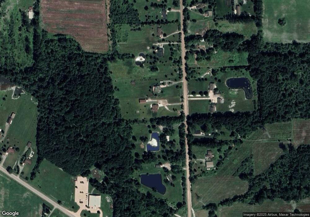
Map
Nearby Homes
- 30359 Redford Dr
- 58651 Rosell Rd
- 59740 Havenridge Rd
- 0 Havenridge Rd Unit 50160833
- 00 Gratiot Ave E Gratiot Ave
- 000 New Haven
- 58612 Virginia Cir
- 32176 Montclair St
- 32197 Montclair St Unit 22
- 32238 Chatham St
- 57291 Rosell Rd
- 28937 26 Mile Rd
- 59470 E Brockton St
- 58187 Kincaid St
- 58163 Kincaid St
- 58139 Kincaid St
- 58302 Pembrooke Ave
- 58192 Kincaid St
- 58180 Kincaid St
- 58168 Kincaid St
- 60455 Bates Rd
- 60616 Bates Rd
- 60454 Bates Rd
- 60470 Bates Rd
- 60719 Bates Rd
- 60603 Bates Rd
- 60780 Bates Rd
- 60374 Bates Rd
- 60303 Bates Rd
- 60807 Bates Rd
- 60928 Bates Rd
- 60875 Bates Rd
- 60915 Bates Rd
- 29226 28 Mile Rd
- 29122 28 Mile Rd
- 60080 Bates Rd
- 28979 28 Mile Rd
- 29035 28 Mile Rd
- 60061 Bates Rd
- 60048 New Haven Rd
Your Personal Tour Guide
Ask me questions while you tour the home.