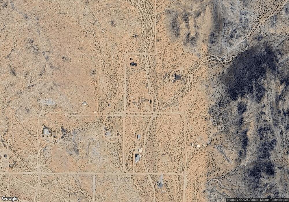
60588 Security Dr Joshua Tree, CA 92252
Estimated Value: $392,603 - $709,000
2
Beds
2
Baths
1,402
Sq Ft
$403/Sq Ft
Est. Value
About This Home
This home is located at 60588 Security Dr, Joshua Tree, CA 92252 and is currently estimated at $564,401, approximately $402 per square foot. 60588 Security Dr is a home located in San Bernardino County with nearby schools including Joshua Tree Elementary School, La Contenta Middle School, and Yucca Valley High School.
Ownership History
Date
Name
Owned For
Owner Type
Purchase Details
Closed on
Nov 4, 2010
Sold by
Kozlow Viola M
Bought by
Ruester James M and Segura Danielle L
Current Estimated Value
Home Financials for this Owner
Home Financials are based on the most recent Mortgage that was taken out on this home.
Original Mortgage
$160,375
Outstanding Balance
$105,327
Interest Rate
4.18%
Mortgage Type
VA
Estimated Equity
$459,074
Purchase Details
Closed on
Jan 16, 1996
Sold by
Kozlow Viola M
Bought by
Kozlow Dan R and Kozlow Viola M
Create a Home Valuation Report for This Property
The Home Valuation Report is an in-depth analysis detailing your home's value as well as a comparison with similar homes in the area
Home Values in the Area
Average Home Value in this Area
Purchase History
| Date | Buyer | Sale Price | Title Company |
|---|---|---|---|
| Ruester James M | $170,000 | Fidelity National Title | |
| Kozlow Dan R | -- | -- |
Source: Public Records
Mortgage History
| Date | Status | Borrower | Loan Amount |
|---|---|---|---|
| Open | Ruester James M | $160,375 |
Source: Public Records
Tax History Compared to Growth
Tax History
| Year | Tax Paid | Tax Assessment Tax Assessment Total Assessment is a certain percentage of the fair market value that is determined by local assessors to be the total taxable value of land and additions on the property. | Land | Improvement |
|---|---|---|---|---|
| 2025 | $2,485 | $201,148 | $20,116 | $181,032 |
| 2024 | $2,485 | $197,204 | $19,722 | $177,482 |
| 2023 | $2,437 | $193,337 | $19,335 | $174,002 |
| 2022 | $2,388 | $189,546 | $18,956 | $170,590 |
| 2021 | $2,360 | $185,829 | $18,584 | $167,245 |
| 2020 | $2,340 | $183,923 | $18,393 | $165,530 |
| 2019 | $2,468 | $180,316 | $18,032 | $162,284 |
| 2018 | $2,284 | $176,780 | $17,678 | $159,102 |
| 2017 | $2,260 | $173,313 | $17,331 | $155,982 |
| 2016 | $2,221 | $169,915 | $16,991 | $152,924 |
| 2015 | $2,249 | $167,363 | $16,736 | $150,627 |
| 2014 | $4,113 | $164,084 | $16,408 | $147,676 |
Source: Public Records
Map
Nearby Homes
- 4981 Bonmar Rd
- 0 Saddleback Rd Unit 219127215DA
- 0 Saddleback Rd Unit 24-370359
- 4900 Nucham Ave
- 4515 Alta Ave
- 0 Outpost Rd Unit FR25184843
- 0 Outpost Rd Unit 24451459
- 61313 El Coyote Ln
- 63050 Wilson Terrace
- 250 Ducor Ave
- 61464 Calle Los Amigos
- 0 Benji Ave Unit SW25129261
- 4974 Avenida Del Sol
- 4884 Avenida Del Sol
- 2700 Avenida Del Sol
- 4762 Avenida Del Sol
- 4789 Avenida Del Sol
- 45907 Anita Ave
- 45908 Anita Ave
- 7199 Olympic Rd
- 60566 Security Dr
- 0 Bartlett Mountain Rd Unit TR18057518
- 0 Bartlett Mountain Rd Unit 466078
- 0 Sherwood Rd
- 123 Sherwood Rd
- 60528 Bartlett Mountain Rd
- 60538 Bartlett Mountain Rd
- 60653 Security Dr
- 5580 Windy Gap Rd
- 60570 West Way
- 60525 Security Dr
- 60570 N Oleander Dr
- 0 Security Dr Unit 41366572DA
- 0 Security Dr Unit 41366575
- 0 Security Dr
- 60466 Security Dr
- 60426 Security Dr
- 60421 Security Dr
- 60630 Los Coyotes Dr
- 60636 Los Coyotes Dr
