606 High Point Dr Atkins, IA 52206
Estimated Value: $406,000 - $435,000
5
Beds
4
Baths
1,758
Sq Ft
$238/Sq Ft
Est. Value
About This Home
This home is located at 606 High Point Dr, Atkins, IA 52206 and is currently estimated at $419,082, approximately $238 per square foot. 606 High Point Dr is a home with nearby schools including Benton Community Senior High School.
Ownership History
Date
Name
Owned For
Owner Type
Purchase Details
Closed on
Oct 3, 2024
Sold by
Mccrory John M and Mccrory Cynthia G
Bought by
Cynthia G Mccrory And John M Mccrory Joint Re and Mccrory
Current Estimated Value
Purchase Details
Closed on
Jan 29, 2007
Sold by
Ralston Farm Llc
Bought by
Mccrory John M and Mccrory Cynthia G
Home Financials for this Owner
Home Financials are based on the most recent Mortgage that was taken out on this home.
Original Mortgage
$262,400
Interest Rate
6.19%
Mortgage Type
Construction
Create a Home Valuation Report for This Property
The Home Valuation Report is an in-depth analysis detailing your home's value as well as a comparison with similar homes in the area
Home Values in the Area
Average Home Value in this Area
Purchase History
| Date | Buyer | Sale Price | Title Company |
|---|---|---|---|
| Cynthia G Mccrory And John M Mccrory Joint Re | -- | None Listed On Document | |
| Mccrory John M | $30,000 | None Available |
Source: Public Records
Mortgage History
| Date | Status | Borrower | Loan Amount |
|---|---|---|---|
| Previous Owner | Mccrory John M | $262,400 |
Source: Public Records
Tax History Compared to Growth
Tax History
| Year | Tax Paid | Tax Assessment Tax Assessment Total Assessment is a certain percentage of the fair market value that is determined by local assessors to be the total taxable value of land and additions on the property. | Land | Improvement |
|---|---|---|---|---|
| 2025 | $5,102 | $387,900 | $59,100 | $328,800 |
| 2024 | $5,102 | $355,100 | $58,800 | $296,300 |
| 2023 | $4,846 | $359,900 | $58,800 | $301,100 |
| 2022 | $4,806 | $304,000 | $47,000 | $257,000 |
| 2021 | $4,806 | $304,000 | $47,000 | $257,000 |
| 2020 | $4,272 | $298,400 | $34,000 | $264,400 |
| 2019 | $4,320 | $298,400 | $34,000 | $264,400 |
| 2018 | $4,240 | $299,500 | $33,400 | $266,100 |
| 2017 | $4,240 | $299,500 | $33,400 | $266,100 |
| 2016 | $4,208 | $277,300 | $30,900 | $246,400 |
| 2015 | $4,208 | $277,300 | $30,900 | $246,400 |
| 2014 | $3,998 | $262,200 | $0 | $0 |
Source: Public Records
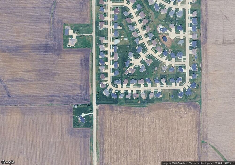
Map
Nearby Homes
- 622 Prairie Hill Dr
- 510 B Ave
- 335 B Ave
- 412 Tia St
- 205 2nd Ave
- 88 Main Ave
- 71 Railroad St
- 0.77 acre Railroad St
- 3200 75th St
- 0 Iowa 100
- 00
- 7806 Hillsboro Dr SW
- 7626 Country Ridge Dr NW
- 7608 Country Ridge Dr NW
- 2415 Prairie Knoll Ct NW
- 7902 Wieneke Cir
- 7509 Country Ridge Dr NW
- 202 Rockhurst Dr SW
- 6702 Country Ridge Dr NW
- 1527 Heartland St
- 608 High Point Dr
- 530 Ridgeview Dr
- 443 Ridgeway Ct
- 605 High Point Dr
- 622 High Point Dr
- 607 High Point Dr
- 535 Ridgeview Dr
- 533 Ridgeview Dr
- 610 High Point Dr
- 528 Ridgeview Dr
- LOT 15 Highpoint Dr
- 609 High Point Dr
- 537 Ridgeview Dr
- 531 Ridgeview Dr
- 442 Ridgeway Ct
- 611 High Point Dr
- 611 High Point Dr
- 612 High Point Dr
- 529 Ridgeview Dr
- 526 Ridgeview Dr