606 Hunkins Pond Rd Sanbornton, NH 03269
Sanbornton NeighborhoodEstimated Value: $423,578 - $642,000
4
Beds
1
Bath
2,585
Sq Ft
$195/Sq Ft
Est. Value
About This Home
This home is located at 606 Hunkins Pond Rd, Sanbornton, NH 03269 and is currently estimated at $503,395, approximately $194 per square foot. 606 Hunkins Pond Rd is a home with nearby schools including Sanbornton Central School, Winnisquam Regional Middle School, and Winnisquam Regional High School.
Ownership History
Date
Name
Owned For
Owner Type
Purchase Details
Closed on
Jul 17, 2013
Sold by
Morrison Thomas A and Morrison Ursula P
Bought by
Millis Daniel David and Millis Julie Ann
Current Estimated Value
Create a Home Valuation Report for This Property
The Home Valuation Report is an in-depth analysis detailing your home's value as well as a comparison with similar homes in the area
Home Values in the Area
Average Home Value in this Area
Purchase History
| Date | Buyer | Sale Price | Title Company |
|---|---|---|---|
| Millis Daniel David | $135,000 | -- |
Source: Public Records
Mortgage History
| Date | Status | Borrower | Loan Amount |
|---|---|---|---|
| Previous Owner | Millis Daniel David | $50,000 |
Source: Public Records
Tax History Compared to Growth
Tax History
| Year | Tax Paid | Tax Assessment Tax Assessment Total Assessment is a certain percentage of the fair market value that is determined by local assessors to be the total taxable value of land and additions on the property. | Land | Improvement |
|---|---|---|---|---|
| 2024 | $4,272 | $333,483 | $173,883 | $159,600 |
| 2023 | $4,016 | $333,537 | $173,937 | $159,600 |
| 2022 | $4,505 | $226,737 | $97,737 | $129,000 |
| 2021 | $4,163 | $226,496 | $97,496 | $129,000 |
| 2020 | $4,575 | $226,730 | $97,730 | $129,000 |
| 2019 | $4,787 | $226,730 | $97,730 | $129,000 |
| 2018 | $4,666 | $226,727 | $97,727 | $129,000 |
| 2017 | $4,599 | $194,645 | $54,845 | $139,800 |
| 2016 | $4,552 | $192,645 | $54,845 | $137,800 |
| 2015 | $4,625 | $192,623 | $54,823 | $137,800 |
| 2014 | $4,425 | $192,623 | $54,823 | $137,800 |
| 2013 | $4,440 | $193,300 | $55,500 | $137,800 |
Source: Public Records
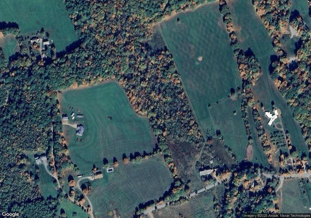
Map
Nearby Homes
- 118 Upper Bay Rd
- 130 Upper Smith Rd
- 885 Laconia Rd Unit 5
- 116C Gray Rd
- 11-8 Knotty Way
- 6 Mohawk Island
- 21 Joy Ave
- 5 Mohawk Island
- 82 Sunset Dr
- 56 Sun Lake Dr
- 11-7 Knotty Way
- 11-5 Knotty Way
- 5 Linda Dr
- US Rt3 Daniel Webster Hwy
- 16 Hill Rd Unit 8
- 8 Nancy Dr
- 11-6 Knotty Way
- 11-1 Knotty Way
- 26 Juniper Dr
- 100 Knotty Way
- 45 Wells Rd
- 11 Wells Rd
- 617 Hunkins Pond Rd
- 527 Hunkins Pond Rd
- 626 Hunkins Pond Rd
- 560 Old Range Rd
- 565 Hunkins Pond Rd
- 2 Wells Rd
- 646 Hunkins Pond Rd
- 30 Wells Rd
- 543 Hunkins Pond Rd
- 0 Range Rd
- 00 Range Rd
- 519 Old Range Rd
- 660 Hunkins Pond Rd
- 000 Huckins Pond Rd
- 524 Old Range Rd
- 522 Old Range Rd
- 0 Old Range Rd Unit 4947871
- 0 Old Range Rd Unit 4891318