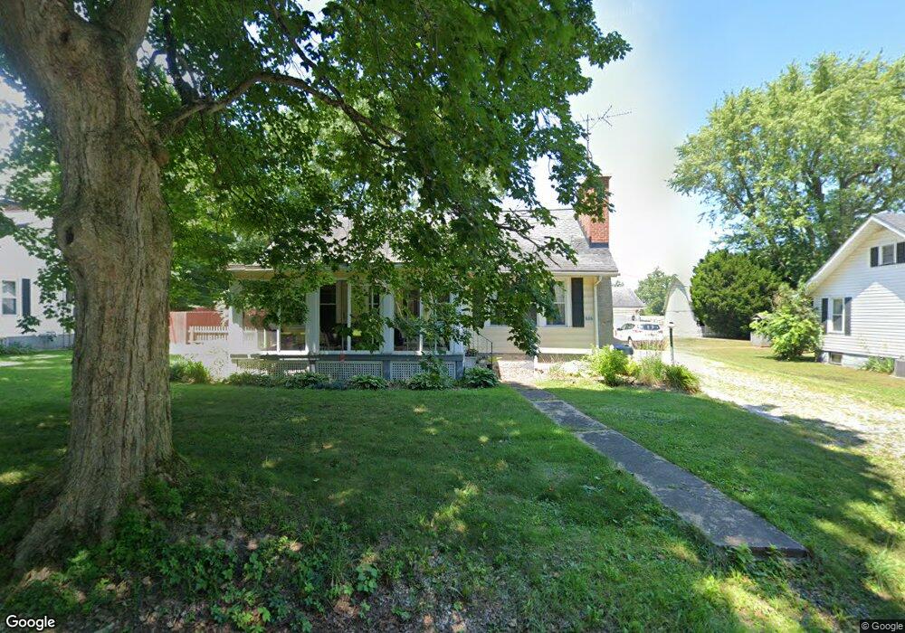
606 Township Road 1500 !Dnp! Ashland, OH 44805
Estimated Value: $204,000 - $334,866
10
Beds
1
Bath
1,078
Sq Ft
$234/Sq Ft
Est. Value
About This Home
This home is located at 606 Township Road 1500 !Dnp!, Ashland, OH 44805 and is currently estimated at $251,717, approximately $233 per square foot. 606 Township Road 1500 !Dnp! is a home located in Ashland County with nearby schools including Ashland High School.
Ownership History
Date
Name
Owned For
Owner Type
Purchase Details
Closed on
Jul 20, 2018
Sold by
Arnold Stephanie L
Bought by
Justice William R
Current Estimated Value
Home Financials for this Owner
Home Financials are based on the most recent Mortgage that was taken out on this home.
Original Mortgage
$183,350
Outstanding Balance
$158,900
Interest Rate
4.5%
Mortgage Type
New Conventional
Estimated Equity
$92,817
Purchase Details
Closed on
Jan 1, 1990
Bought by
Mcquate Douglas E
Create a Home Valuation Report for This Property
The Home Valuation Report is an in-depth analysis detailing your home's value as well as a comparison with similar homes in the area
Home Values in the Area
Average Home Value in this Area
Purchase History
| Date | Buyer | Sale Price | Title Company |
|---|---|---|---|
| Justice William R | $193,000 | Chase Title Svcs Inc | |
| Mcquate Douglas E | -- | -- |
Source: Public Records
Mortgage History
| Date | Status | Borrower | Loan Amount |
|---|---|---|---|
| Open | Justice William R | $183,350 |
Source: Public Records
Tax History Compared to Growth
Tax History
| Year | Tax Paid | Tax Assessment Tax Assessment Total Assessment is a certain percentage of the fair market value that is determined by local assessors to be the total taxable value of land and additions on the property. | Land | Improvement |
|---|---|---|---|---|
| 2024 | $2,106 | $59,360 | $6,100 | $53,260 |
| 2023 | $2,106 | $59,360 | $6,100 | $53,260 |
| 2022 | $1,929 | $42,400 | $4,360 | $38,040 |
| 2021 | $1,937 | $42,400 | $4,360 | $38,040 |
| 2020 | $1,838 | $42,400 | $4,360 | $38,040 |
| 2019 | $1,851 | $39,470 | $4,530 | $34,940 |
| 2018 | $1,857 | $39,470 | $4,530 | $34,940 |
| 2017 | $1,818 | $39,470 | $4,530 | $34,940 |
| 2016 | $1,661 | $34,920 | $4,000 | $30,920 |
| 2015 | $1,646 | $34,920 | $4,000 | $30,920 |
| 2013 | $1,302 | $27,210 | $4,010 | $23,200 |
Source: Public Records
Map
Nearby Homes
- 1346 State Route 89
- 1346 Ohio 89
- 1446 Township Road 805
- 1653 State Route 60
- 1653 Ohio 60
- 1457 Township Road 853
- 0 Eagle Way
- 1435 Township Road 853
- 686 County Road 1302
- 0 Township Road 1275
- 486 Township Road 1275
- 1845 County Road 655
- 14 E South St
- 453 Hillcrest Dr
- 1173 Township Road 753
- 1331 Eastern Ave
- 1109 Eastern Ave
- 1011 Eastern Ave
- 416 Diamond St
- 634 Marlo Ave
- 606 Township Road 1500
- 604 Township Road 1500
- 606 1500
- 608 Township Road 1500
- 605 Township Road 1500
- 610 Township Road 1500
- 1531 County Road 1575
- 1529 County Road 1575
- 1533 County Road 1575
- 1534 County Road 1575
- 1528 County Road 1575
- 1523 County Road 1575
- 1497 Township Road 593
- 579 Township Road 1500
- 1491 Township Road 593
- 1551 County Road 1575
- 1548 County Road 1575
- 1487 Township Road 593
- 557 Township Road 1500
- 1508 County Road 1575