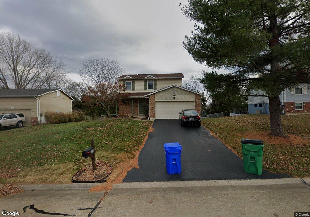
606 Wallach Dr Eureka, MO 63025
Estimated Value: $312,479 - $340,000
3
Beds
3
Baths
1,495
Sq Ft
$217/Sq Ft
Est. Value
About This Home
This home is located at 606 Wallach Dr, Eureka, MO 63025 and is currently estimated at $324,370, approximately $216 per square foot. 606 Wallach Dr is a home located in St. Louis County with nearby schools including Blevins Elementary School, Lasalle Springs Middle School, and Eureka Senior High School.
Ownership History
Date
Name
Owned For
Owner Type
Purchase Details
Closed on
Sep 14, 2004
Sold by
Kourik Janet G
Bought by
Kollar Joseph A and Kollar Carrie A
Current Estimated Value
Home Financials for this Owner
Home Financials are based on the most recent Mortgage that was taken out on this home.
Original Mortgage
$127,000
Outstanding Balance
$63,213
Interest Rate
5.95%
Mortgage Type
Purchase Money Mortgage
Estimated Equity
$261,158
Create a Home Valuation Report for This Property
The Home Valuation Report is an in-depth analysis detailing your home's value as well as a comparison with similar homes in the area
Home Values in the Area
Average Home Value in this Area
Purchase History
| Date | Buyer | Sale Price | Title Company |
|---|---|---|---|
| Kollar Joseph A | $177,000 | -- |
Source: Public Records
Mortgage History
| Date | Status | Borrower | Loan Amount |
|---|---|---|---|
| Open | Kollar Joseph A | $127,000 |
Source: Public Records
Tax History
| Year | Tax Paid | Tax Assessment Tax Assessment Total Assessment is a certain percentage of the fair market value that is determined by local assessors to be the total taxable value of land and additions on the property. | Land | Improvement |
|---|---|---|---|---|
| 2025 | $3,578 | $53,540 | $17,400 | $36,140 |
| 2024 | $3,578 | $47,920 | $12,180 | $35,740 |
| 2023 | $3,581 | $47,920 | $12,180 | $35,740 |
| 2022 | $3,323 | $41,380 | $13,050 | $28,330 |
| 2021 | $3,299 | $41,380 | $13,050 | $28,330 |
| 2020 | $3,151 | $37,790 | $10,450 | $27,340 |
| 2019 | $3,160 | $37,790 | $10,450 | $27,340 |
| 2018 | $2,858 | $32,250 | $7,830 | $24,420 |
| 2016 | $2,757 | $31,050 | $6,100 | $24,950 |
Source: Public Records
Map
Nearby Homes
- 814 Eureka Rd
- 369 Cerny Ave
- 1000 Eureka Rd
- 331 Artic Fox Ct
- 75 Old Farmhouse Way
- 808 Lower Field Ln
- 826 Lower Field Ln
- 83 Old Farmhouse Way
- 830 Lower Field Ln
- 329 Kevin Jon Ct
- 318 Kevin Jon Ct
- 1075 Eureka Rd
- 118 Towne Square Ct Unit D4
- 125 Towne Square Ct Unit 4E
- 345 Palisades Ridge Ct
- 7887 Jim Weber Rd
- 1045 Bloomfield Dr
- 1049 Bloomfield Dr
- 1057 Bloomfield Dr
- 2475 Windswept Farms Dr
- 608 Wallach Dr
- 604 Wallach Dr
- 610 Wallach Dr
- 602 Wallach Dr
- 603 Wallach Dr
- 612 Wallach Dr
- 540 Maureen Dr
- 600 Wallach Dr
- 607 Wallach Dr
- 601 Wallach Dr
- 104 Victorian Ct
- 520 Wallach Dr
- 614 Wallach Dr
- 106 Victorian Ct
- 110 Victorian Ct
- 304 Forest Hills Dr
- 108 Victorian Ct
- 609 Wallach Dr
- 616 Wallach Dr
- 518 Wallach Dr
Your Personal Tour Guide
Ask me questions while you tour the home.