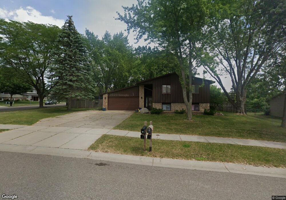
6068 132nd Way Saint Paul, MN 55124
Scott Highlands NeighborhoodEstimated Value: $386,000 - $404,000
5
Beds
2
Baths
953
Sq Ft
$412/Sq Ft
Est. Value
About This Home
This home is located at 6068 132nd Way, Saint Paul, MN 55124 and is currently estimated at $393,000, approximately $412 per square foot. 6068 132nd Way is a home located in Dakota County with nearby schools including Greenleaf Elementary School, Falcon Ridge Middle School, and Eastview Senior High School.
Ownership History
Date
Name
Owned For
Owner Type
Purchase Details
Closed on
Aug 25, 2017
Sold by
Lehmeyer Steve C and Lehmeyer Jaime
Bought by
Sullivan Tami and Sullivan David
Current Estimated Value
Home Financials for this Owner
Home Financials are based on the most recent Mortgage that was taken out on this home.
Original Mortgage
$271,000
Outstanding Balance
$230,540
Interest Rate
4.62%
Mortgage Type
FHA
Estimated Equity
$162,460
Purchase Details
Closed on
Jan 26, 2017
Sold by
West Lyle Warren and West Brian Marshall
Bought by
Lehmeyer Steve C
Create a Home Valuation Report for This Property
The Home Valuation Report is an in-depth analysis detailing your home's value as well as a comparison with similar homes in the area
Home Values in the Area
Average Home Value in this Area
Purchase History
| Date | Buyer | Sale Price | Title Company |
|---|---|---|---|
| Sullivan Tami | $276,000 | Trademark Title Services Inc | |
| Lehmeyer Steve C | $135,000 | First American Title Co |
Source: Public Records
Mortgage History
| Date | Status | Borrower | Loan Amount |
|---|---|---|---|
| Open | Sullivan Tami | $271,000 |
Source: Public Records
Tax History Compared to Growth
Tax History
| Year | Tax Paid | Tax Assessment Tax Assessment Total Assessment is a certain percentage of the fair market value that is determined by local assessors to be the total taxable value of land and additions on the property. | Land | Improvement |
|---|---|---|---|---|
| 2024 | $3,870 | $330,900 | $108,000 | $222,900 |
| 2023 | $3,870 | $341,100 | $108,200 | $232,900 |
| 2022 | $3,320 | $331,800 | $107,800 | $224,000 |
| 2021 | $3,198 | $285,100 | $93,800 | $191,300 |
| 2020 | $3,204 | $268,600 | $89,300 | $179,300 |
| 2019 | $2,917 | $260,900 | $85,100 | $175,800 |
| 2018 | $2,795 | $247,800 | $81,000 | $166,800 |
| 2017 | $2,586 | $226,800 | $77,100 | $149,700 |
| 2016 | $2,564 | $212,800 | $73,500 | $139,300 |
| 2015 | $2,428 | $190,679 | $65,657 | $125,022 |
| 2014 | -- | $181,741 | $62,782 | $118,959 |
| 2013 | -- | $166,808 | $57,207 | $109,601 |
Source: Public Records
Map
Nearby Homes
- 6118 132nd St W
- 6200 132nd Way
- 13213 Ferris Ave
- 13641 Everton Ave
- 12888 Falcon Dr
- 12816 Falcon Dr
- 6567 133rd St W
- 12740 Eveleth Path
- 13055 Florida Ct
- 13912 Farmington Way
- 13973 Falcon Ave
- 13358 Foliage Ave
- 6790 132nd St W
- 13947 Fleetwood Ave
- 13954 Flagstaff Ct
- 12865 Foliage Ave
- 13169X Diamond Path
- 13937 Ember Ct
- 14057 Flintwood Ct
- 13930 Ember Ct
- 6080 132nd Way
- 6032 132nd St W
- 6020 132nd St W
- 6101 132nd Way
- 6055 132nd St W
- 6109 132nd Way
- 6092 132nd Way
- 6033 132nd St W
- 6087 132nd St W
- 6001 132nd St W
- 13188 Fernando Ave
- 6121 132nd Way
- 6104 132nd Way
- 6004 Lower 131st Street Ct
- 13152 Fernando Ave
- 6116 132nd Way
- 6139 132nd Way
- 6002 Lower 131st Street Ct
- 13189 Fernando Ave
- 6134 132nd St W