Estimated Value: $1,180,000 - $1,434,637
4
Beds
4
Baths
3,545
Sq Ft
$382/Sq Ft
Est. Value
About This Home
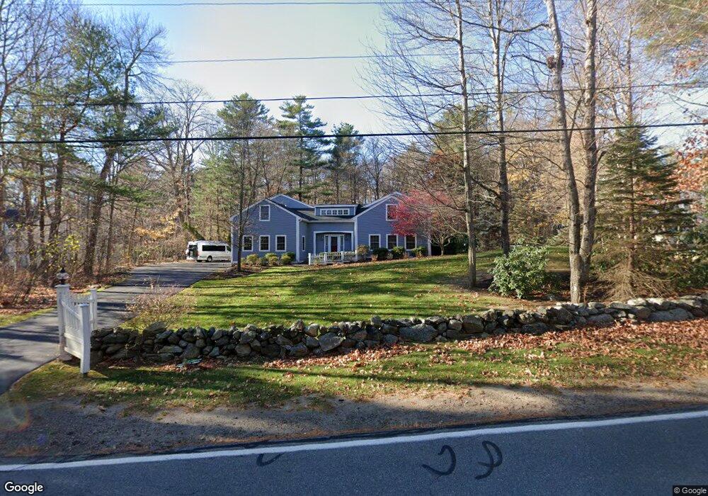
This home is located at 607 Long John Rd, Rye, NH 03870 and is currently estimated at $1,353,659, approximately $381 per square foot. 607 Long John Rd is a home located in Rockingham County with nearby schools including Rye Elementary School, Rye Junior High School, and Rye Country Day School.
Ownership History
Date
Name
Owned For
Owner Type
Purchase Details
Closed on
May 16, 2016
Sold by
Dulong David M
Bought by
Dulong Peters Ft and Dulong
Current Estimated Value
Purchase Details
Closed on
Mar 14, 2008
Sold by
Goldsworthy Craig P
Bought by
Dulong David M and Peters Nancy
Purchase Details
Closed on
Aug 28, 2002
Sold by
Bosa John
Bought by
Goldsworthy Craig P
Purchase Details
Closed on
Dec 15, 2000
Sold by
Costello Bryan P
Bought by
Bosa John
Create a Home Valuation Report for This Property
The Home Valuation Report is an in-depth analysis detailing your home's value as well as a comparison with similar homes in the area
Home Values in the Area
Average Home Value in this Area
Purchase History
| Date | Buyer | Sale Price | Title Company |
|---|---|---|---|
| Dulong Peters Ft | -- | -- | |
| Dulong David M | $595,000 | -- | |
| Goldsworthy Craig P | $550,000 | -- | |
| Bosa John | $200,000 | -- |
Source: Public Records
Mortgage History
| Date | Status | Borrower | Loan Amount |
|---|---|---|---|
| Previous Owner | Bosa John | $417,000 | |
| Previous Owner | Bosa John | $379,200 | |
| Previous Owner | Bosa John | $126,400 |
Source: Public Records
Tax History
| Year | Tax Paid | Tax Assessment Tax Assessment Total Assessment is a certain percentage of the fair market value that is determined by local assessors to be the total taxable value of land and additions on the property. | Land | Improvement |
|---|---|---|---|---|
| 2024 | $8,797 | $1,015,800 | $451,000 | $564,800 |
| 2023 | $8,157 | $1,015,800 | $451,000 | $564,800 |
| 2022 | $7,090 | $1,015,800 | $451,000 | $564,800 |
| 2021 | $7,250 | $709,400 | $306,500 | $402,900 |
| 2020 | $7,250 | $709,400 | $306,500 | $402,900 |
| 2019 | $7,219 | $706,400 | $306,500 | $399,900 |
| 2018 | $7,142 | $706,400 | $306,500 | $399,900 |
| 2017 | $7,142 | $706,400 | $306,500 | $399,900 |
| 2016 | $6,639 | $621,600 | $222,800 | $398,800 |
| 2015 | $6,731 | $617,500 | $222,800 | $394,700 |
| 2013 | $6,774 | $617,500 | $222,800 | $394,700 |
Source: Public Records
Map
Nearby Homes
- 389 Sagamore Rd
- 137 Clark Rd
- 665 Wallis Rd Unit 2
- 236 Sagamore Rd
- 1215 Ocean Blvd Unit 5
- 1191 - 1193 Ocean Blvd
- 1193 Ocean Blvd
- 1591 Ocean Blvd
- 1643 Ocean Blvd
- 414 Springbrook Cir
- 1 Pheasant Ln
- 2075 Lafayette Rd Unit A23
- 1703 White Cedar Blvd
- 80 Constitution Ave Unit 225
- 80 Constitution Ave Unit 317
- 80 Constitution Ave Unit 231
- 80 Constitution Ave Unit 408
- 80 Constitution Ave Unit 331
- 80 Constitution Ave Unit 214
- 80 Constitution Ave Unit 209
Your Personal Tour Guide
Ask me questions while you tour the home.