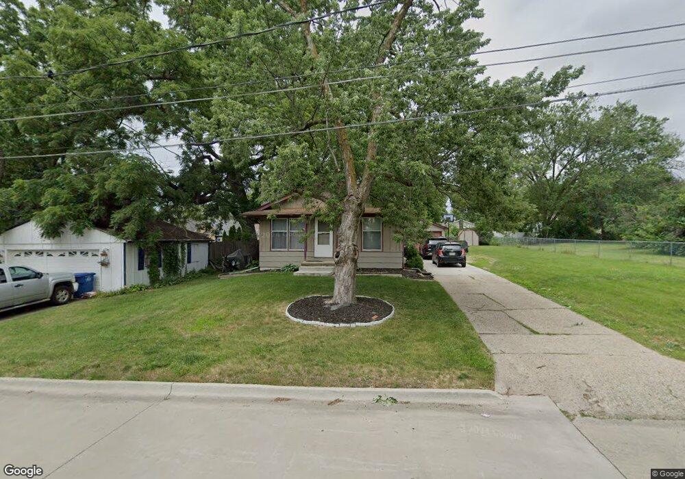
607 Philip St Des Moines, IA 50315
Watrous Heights NeighborhoodEstimated Value: $201,000 - $246,000
3
Beds
1
Bath
960
Sq Ft
$228/Sq Ft
Est. Value
About This Home
This home is located at 607 Philip St, Des Moines, IA 50315 and is currently estimated at $219,036, approximately $228 per square foot. 607 Philip St is a home located in Polk County with nearby schools including South Union Elementary School, Brody Middle School, and Lincoln High School.
Ownership History
Date
Name
Owned For
Owner Type
Purchase Details
Closed on
Mar 16, 2003
Sold by
Butler Leon L and Penton Virginia K
Bought by
Long Benjamin M and Long Cheryl A
Current Estimated Value
Create a Home Valuation Report for This Property
The Home Valuation Report is an in-depth analysis detailing your home's value as well as a comparison with similar homes in the area
Home Values in the Area
Average Home Value in this Area
Purchase History
| Date | Buyer | Sale Price | Title Company |
|---|---|---|---|
| Long Benjamin M | $3,500 | -- |
Source: Public Records
Tax History Compared to Growth
Tax History
| Year | Tax Paid | Tax Assessment Tax Assessment Total Assessment is a certain percentage of the fair market value that is determined by local assessors to be the total taxable value of land and additions on the property. | Land | Improvement |
|---|---|---|---|---|
| 2025 | $3,748 | $215,500 | $36,900 | $178,600 |
| 2024 | $3,748 | $190,500 | $32,200 | $158,300 |
| 2023 | $3,582 | $190,500 | $32,200 | $158,300 |
| 2022 | $3,556 | $152,000 | $26,500 | $125,500 |
| 2021 | $3,558 | $152,000 | $26,500 | $125,500 |
| 2020 | $3,696 | $142,600 | $24,800 | $117,800 |
| 2019 | $3,416 | $142,600 | $24,800 | $117,800 |
| 2018 | $3,382 | $127,100 | $21,600 | $105,500 |
| 2017 | $3,234 | $127,100 | $21,600 | $105,500 |
| 2016 | $3,152 | $119,600 | $20,000 | $99,600 |
| 2015 | $3,152 | $119,600 | $20,000 | $99,600 |
| 2014 | $3,322 | $125,000 | $20,500 | $104,500 |
Source: Public Records
Map
Nearby Homes
- 4204 SW 7th St
- 606 Marion St
- 518 Maxwelton Dr
- 515 Emma Ave
- 612 Emma Ave
- . Herold Ave
- 3903 SW 9th St
- 930 Emma Ave
- 304 Herold Ave
- 936 Mckinley Ave Unit 14
- 4108 SW 12th St
- 115 Mckinley Ave
- 3634 SW 4th St
- 1109 Herold Ave
- 1204 Elder Ln
- 4020 SW 12th St
- 3618 SW 9th St
- 1116 Herold Ave
- 915 Wolcott Ave
- 410 Thornton Ave
- 603 Philip St
- 4307 SW 7th St
- 4311 SW 7th St
- 4305 SW 7th St
- 608 Trowbridge St
- 604 Trowbridge St
- 600 Trowbridge St
- 4303 SW 7th St
- 515 Philip St
- 507 Philip St
- 604 Philip St
- 608 Philip St
- 518 Trowbridge St
- 600 Philip St
- 612 Philip St
- 4301 SW 7th St
- 524 Philip St
- 508 Trowbridge St
- 700 Philip St
- 4318 SW 7th St