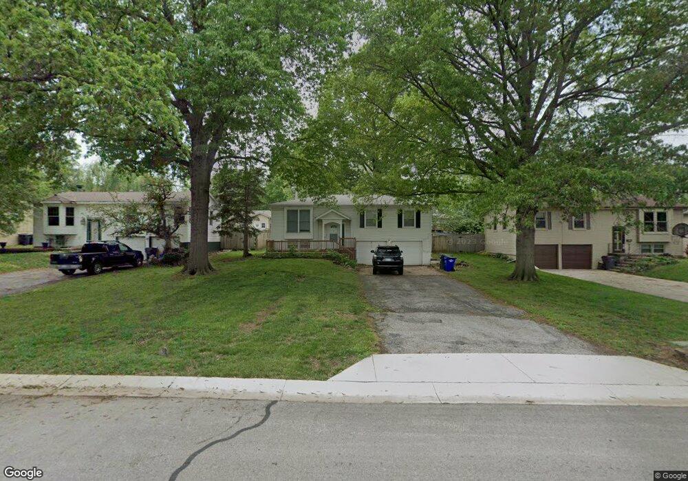
607 S Curtis St Olathe, KS 66061
Estimated Value: $262,000 - $295,000
3
Beds
2
Baths
1,016
Sq Ft
$275/Sq Ft
Est. Value
About This Home
This home is located at 607 S Curtis St, Olathe, KS 66061 and is currently estimated at $279,085, approximately $274 per square foot. 607 S Curtis St is a home located in Johnson County with nearby schools including Central Elementary School, Oregon Trail Middle School, and Olathe North Sr High School.
Ownership History
Date
Name
Owned For
Owner Type
Purchase Details
Closed on
Aug 31, 2015
Sold by
Bltrejv3 Kansas City Llc
Bought by
Csma Blt Llc
Current Estimated Value
Purchase Details
Closed on
Feb 13, 2013
Sold by
Naranjo Manuel D and Naranjo Monica M
Bought by
Bltrejv3 Kansas City Llc
Purchase Details
Closed on
Oct 10, 2005
Sold by
Fisher Claudette B and Fisher Claudette D
Bought by
Naranjo Manuel D and Naranjo Monica M
Purchase Details
Closed on
Mar 18, 2003
Sold by
Miller Monty W and Miller Jennifer M
Bought by
Fisher Claudette B
Home Financials for this Owner
Home Financials are based on the most recent Mortgage that was taken out on this home.
Original Mortgage
$104,000
Interest Rate
5.83%
Create a Home Valuation Report for This Property
The Home Valuation Report is an in-depth analysis detailing your home's value as well as a comparison with similar homes in the area
Home Values in the Area
Average Home Value in this Area
Purchase History
| Date | Buyer | Sale Price | Title Company |
|---|---|---|---|
| Csma Blt Llc | -- | None Available | |
| Bltrejv3 Kansas City Llc | $72,001 | None Available | |
| Naranjo Manuel D | -- | Kansas Title Insurance Corp | |
| Fisher Claudette B | -- | Security Land Title Company |
Source: Public Records
Mortgage History
| Date | Status | Borrower | Loan Amount |
|---|---|---|---|
| Previous Owner | Fisher Claudette B | $104,000 | |
| Closed | Fisher Claudette B | $26,000 |
Source: Public Records
Tax History Compared to Growth
Tax History
| Year | Tax Paid | Tax Assessment Tax Assessment Total Assessment is a certain percentage of the fair market value that is determined by local assessors to be the total taxable value of land and additions on the property. | Land | Improvement |
|---|---|---|---|---|
| 2024 | $2,786 | $25,404 | $4,023 | $21,381 |
| 2023 | $2,739 | $24,231 | $4,023 | $20,208 |
| 2022 | $2,458 | $21,194 | $3,658 | $17,536 |
| 2021 | $2,415 | $19,688 | $3,325 | $16,363 |
| 2020 | $2,474 | $19,975 | $3,023 | $16,952 |
| 2019 | $2,364 | $18,975 | $2,627 | $16,348 |
| 2018 | $2,224 | $17,744 | $2,387 | $15,357 |
| 2017 | $2,116 | $16,721 | $2,387 | $14,334 |
| 2016 | $1,941 | $15,755 | $2,387 | $13,368 |
| 2015 | $1,815 | $14,754 | $2,387 | $12,367 |
| 2013 | -- | $13,110 | $2,171 | $10,939 |
Source: Public Records
Map
Nearby Homes
- 515 E Sheridan St
- 321 S Wabash Cir
- 320 S Walker St
- 401 S Harrison St
- 721 S Chestnut St
- 519 E Cedar St
- 335 S Water St
- 706 S Kansas Ave
- 420 S Church St
- 510 E Park St
- 224 S Church St
- 336 E Park St
- 908 S Hunter Dr
- 1001 E Cedar St
- 1008 E Fredrickson Dr
- 1012 E Fredrickson Dr
- 828 S Hunter Dr
- 1113 E Cedar St
- 1106 E Sleepy Hollow Dr
- 617 S Grant St
- 605 S Curtis St
- 609 S Curtis St
- 603 S Curtis St
- 611 S Curtis St
- 604 S Hamilton Cir
- 612 S Hamilton Cir
- 600 S Hamilton Cir
- 700 S Hamilton St
- 611 E Sheridan St
- 603 S Hamilton Cir
- 609 S Hamilton Cir
- 613 S Hamilton Cir
- 704 S Hamilton St
- 517 E Sheridan St
- 708 S Hamilton St
- 600 S Stevenson St
- 608 S Stevenson St
- 612 S Stevenson St
- 604 S Stevenson St
- 618 S Stevenson St