607 Strand St Carlsbad, CA 92011
South Beach NeighborhoodEstimated Value: $1,998,480 - $2,127,000
3
Beds
3
Baths
2,314
Sq Ft
$889/Sq Ft
Est. Value
About This Home
This home is located at 607 Strand St, Carlsbad, CA 92011 and is currently estimated at $2,056,120, approximately $888 per square foot. 607 Strand St is a home located in San Diego County with nearby schools including Pacific Rim Elementary, Aviara Oaks Middle, and Carlsbad High School.
Ownership History
Date
Name
Owned For
Owner Type
Purchase Details
Closed on
Aug 7, 2006
Sold by
Mancuso Garyl and Mancuso Lynda M
Bought by
Mancuso Gary L and Mancuso Lynda M
Current Estimated Value
Purchase Details
Closed on
Jan 13, 2004
Sold by
Wl Homes Llc
Bought by
Mancuso Gary L and Mancuso Lynda M
Home Financials for this Owner
Home Financials are based on the most recent Mortgage that was taken out on this home.
Original Mortgage
$125,000
Interest Rate
4.75%
Mortgage Type
New Conventional
Create a Home Valuation Report for This Property
The Home Valuation Report is an in-depth analysis detailing your home's value as well as a comparison with similar homes in the area
Home Values in the Area
Average Home Value in this Area
Purchase History
| Date | Buyer | Sale Price | Title Company |
|---|---|---|---|
| Mancuso Gary L | -- | None Available | |
| Mancuso Gary L | $656,500 | Fidelity National Title |
Source: Public Records
Mortgage History
| Date | Status | Borrower | Loan Amount |
|---|---|---|---|
| Previous Owner | Mancuso Gary L | $125,000 | |
| Closed | Mancuso Gary L | $100,000 |
Source: Public Records
Tax History
| Year | Tax Paid | Tax Assessment Tax Assessment Total Assessment is a certain percentage of the fair market value that is determined by local assessors to be the total taxable value of land and additions on the property. | Land | Improvement |
|---|---|---|---|---|
| 2025 | $10,381 | $914,390 | $369,379 | $545,011 |
| 2024 | $10,381 | $896,462 | $362,137 | $534,325 |
| 2023 | $10,331 | $878,886 | $355,037 | $523,849 |
| 2022 | $10,184 | $861,654 | $348,076 | $513,578 |
| 2021 | $10,112 | $844,759 | $341,251 | $503,508 |
| 2020 | $10,049 | $836,098 | $337,752 | $498,346 |
| 2019 | $9,882 | $819,705 | $331,130 | $488,575 |
| 2018 | $9,499 | $803,634 | $324,638 | $478,996 |
| 2017 | $9,355 | $787,877 | $318,273 | $469,604 |
| 2016 | $9,012 | $772,430 | $312,033 | $460,397 |
| 2015 | $8,978 | $760,828 | $307,346 | $453,482 |
| 2014 | $8,841 | $745,925 | $301,326 | $444,599 |
Source: Public Records
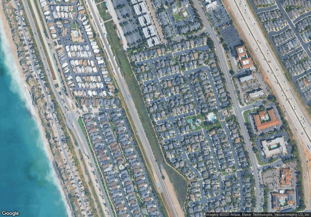
Map
Nearby Homes
- 609 Saltgrass Ave
- 605 Seaward Ave
- 6550 Ponto Dr Unit 76
- 6550 Ponto Dr Unit 135
- 6550 Ponto Dr Unit 110
- 6550 Ponto Dr Unit 14
- 6550 Ponto Dr Unit 60
- 6801 Embarcadero Ln
- 6871 Seaspray Ln
- 6951 Quiet Cove Dr
- 816 Caminito Azul
- 7039 Whitewater St
- 7025 San Bartolo St Unit 42
- 7243 San Luis St Unit 257
- 7218 San Lucas St Unit 189
- 7207 Santa Barbara St Unit 154
- 7008 San Bartolo St Unit 27
- 7027 San Bartolo St Unit 43
- 7023 San Bartolo St Unit 41
- 7004 San Carlos St Unit 67
- 603 Strand St
- 611 Strand St
- 608 Saltgrass Ave
- 604 Saltgrass Ave
- 612 Saltgrass Ave
- 606 Strand St
- 610 Strand St
- 602 Strand St
- 615 Strand St
- 616 Saltgrass Ave
- 614 Strand St
- 607 Sandside Ct
- 611 Sandside Ct
- 605 Saltgrass Ave
- 603 Sandside Ct
- 619 Strand St
- 620 Saltgrass Ave
- 618 Strand St
- 621 Sandside Ct
- 623 Strand St
Your Personal Tour Guide
Ask me questions while you tour the home.