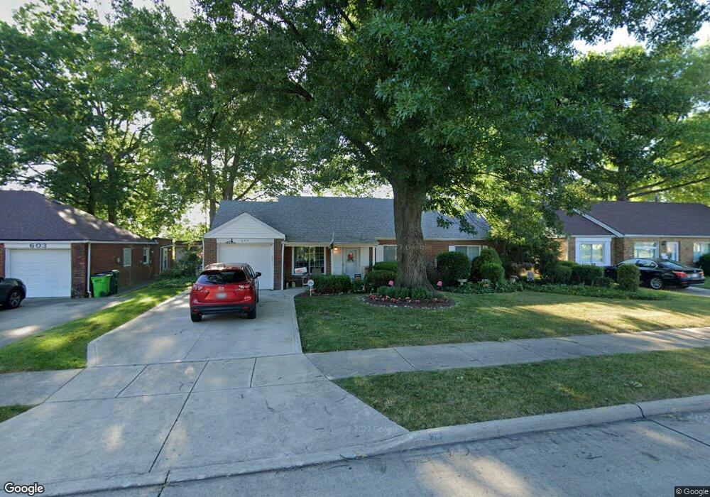
607 Walnut Dr Euclid, OH 44132
Estimated Value: $163,918 - $205,000
3
Beds
2
Baths
1,401
Sq Ft
$127/Sq Ft
Est. Value
About This Home
This home is located at 607 Walnut Dr, Euclid, OH 44132 and is currently estimated at $178,480, approximately $127 per square foot. 607 Walnut Dr is a home located in Cuyahoga County with nearby schools including Shoreview Elementary School, Euclid High School, and Ss. Robert & William Catholic School.
Ownership History
Date
Name
Owned For
Owner Type
Purchase Details
Closed on
Aug 2, 2002
Sold by
Kish Jeffrey E and Kish Judy
Bought by
Savage Barbara Anne and Kish Barbara Anne
Current Estimated Value
Purchase Details
Closed on
May 10, 1985
Sold by
Kish Marianne
Bought by
Kish Barbara Ann
Purchase Details
Closed on
Jul 28, 1977
Sold by
Kish Barbara A
Bought by
Kish Marianne
Purchase Details
Closed on
Jan 1, 1975
Bought by
Kish Barbara A
Create a Home Valuation Report for This Property
The Home Valuation Report is an in-depth analysis detailing your home's value as well as a comparison with similar homes in the area
Home Values in the Area
Average Home Value in this Area
Purchase History
| Date | Buyer | Sale Price | Title Company |
|---|---|---|---|
| Savage Barbara Anne | -- | -- | |
| Kish Barbara Ann | -- | -- | |
| Kish Marianne | -- | -- | |
| Kish Barbara A | -- | -- |
Source: Public Records
Tax History Compared to Growth
Tax History
| Year | Tax Paid | Tax Assessment Tax Assessment Total Assessment is a certain percentage of the fair market value that is determined by local assessors to be the total taxable value of land and additions on the property. | Land | Improvement |
|---|---|---|---|---|
| 2024 | $3,524 | $51,310 | $10,045 | $41,265 |
| 2023 | $3,386 | $39,420 | $8,860 | $30,560 |
| 2022 | $3,309 | $39,410 | $8,860 | $30,560 |
| 2021 | $3,682 | $39,410 | $8,860 | $30,560 |
| 2020 | $3,088 | $29,860 | $6,720 | $23,140 |
| 2019 | $2,777 | $85,300 | $19,200 | $66,100 |
| 2018 | $2,759 | $29,860 | $6,720 | $23,140 |
| 2017 | $2,943 | $26,180 | $5,390 | $20,790 |
| 2016 | $2,949 | $26,180 | $5,390 | $20,790 |
| 2015 | $2,684 | $26,180 | $5,390 | $20,790 |
| 2014 | $2,684 | $26,180 | $5,390 | $20,790 |
Source: Public Records
Map
Nearby Homes
- 29038 Fuller Ave
- 577 Sycamore Dr
- 546 Walnut Dr
- 559 Sycamore Dr
- 550 Sycamore Dr
- 27190 Shoreview Ave
- 970 Bryn Mawr Ave
- 27101 Zeman Ave
- 26951 Shirley Ave
- 461 E 271st St
- 445 E 275th St
- 625 Lloyd Rd
- 440 E 271st St
- 29448 Vinewood Dr
- 29459 Vinewood Dr
- 712 E 266th St
- 26471 Farringdon Ave
- 780 E 266th St
- 26471 Shoreview Ave
- 459 Lloyd Rd
- 603 Walnut Dr
- 611 Walnut Dr
- 29009 Norman Ave
- 597 Walnut Dr
- 29016 Fuller Ave
- 606 Walnut Dr
- 29017 Norman Ave
- 600 Walnut Dr
- 610 Walnut Dr
- 641 Walnut Dr
- 596 Walnut Dr
- 29019 Norman Ave
- 29020 Fuller Ave
- 29004 Norman Ave
- 29023 Norman Ave
- 29024 Fuller Ave
- 590 Walnut Dr
- 29012 Norman Ave
- 640 Walnut Dr
- 647 Walnut Dr