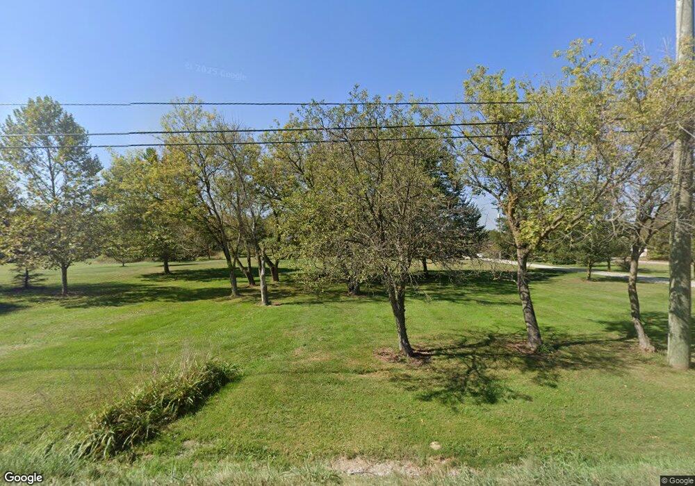
Estimated Value: $404,000 - $509,436
3
Beds
2
Baths
2,610
Sq Ft
$178/Sq Ft
Est. Value
About This Home
This home is located at 60719 Bates Rd, Lenox, MI 48048 and is currently estimated at $464,359, approximately $177 per square foot. 60719 Bates Rd is a home located in Macomb County with nearby schools including New Haven High School and Merritt Academy.
Ownership History
Date
Name
Owned For
Owner Type
Purchase Details
Closed on
Sep 16, 2016
Bought by
Beauregard Earl N
Current Estimated Value
Home Financials for this Owner
Home Financials are based on the most recent Mortgage that was taken out on this home.
Original Mortgage
$99,750
Outstanding Balance
$79,855
Interest Rate
3.5%
Estimated Equity
$384,504
Create a Home Valuation Report for This Property
The Home Valuation Report is an in-depth analysis detailing your home's value as well as a comparison with similar homes in the area
Home Values in the Area
Average Home Value in this Area
Purchase History
| Date | Buyer | Sale Price | Title Company |
|---|---|---|---|
| Beauregard Earl N | -- | -- |
Source: Public Records
Mortgage History
| Date | Status | Borrower | Loan Amount |
|---|---|---|---|
| Open | Beauregard Earl N | $99,750 | |
| Closed | Beauregard Earl N | -- |
Source: Public Records
Tax History
| Year | Tax Paid | Tax Assessment Tax Assessment Total Assessment is a certain percentage of the fair market value that is determined by local assessors to be the total taxable value of land and additions on the property. | Land | Improvement |
|---|---|---|---|---|
| 2025 | $2,620 | $241,300 | $0 | $0 |
| 2024 | $25 | $245,200 | $0 | $0 |
| 2023 | $2,416 | $228,300 | $0 | $0 |
| 2022 | $3,661 | $186,700 | $0 | $0 |
| 2021 | $3,499 | $189,800 | $0 | $0 |
| 2020 | $2,221 | $188,500 | $0 | $0 |
| 2019 | $3,239 | $174,500 | $0 | $0 |
| 2018 | $0 | $164,200 | $0 | $0 |
| 2017 | $3,016 | $152,500 | $27,800 | $124,700 |
| 2016 | $2,995 | $152,500 | $0 | $0 |
| 2015 | -- | $114,100 | $0 | $0 |
| 2012 | $305 | $102,678 | $0 | $0 |
| 2011 | $305 | $120,253 | $0 | $0 |
Source: Public Records
Map
Nearby Homes
- 59746 Manning Dr
- 58651 Rosell Rd
- 59740 Havenridge Rd
- 58910 Main St
- 0 Havenridge Rd Unit 50160833
- 00 Gratiot Ave E Gratiot Ave
- 000 New Haven
- 63835 Bates Rd
- 32197 Montclair St Unit 22
- 32202 Bradford St
- 57291 Rosell Rd
- 28937 26 Mile Rd
- 58228 Kincaid St
- 58216 Kincaid St
- 58187 Kincaid St
- 58240 Kincaid St
- 58302 Pembrooke Ave
- 58795 Chennault Dr
- 58254 Pembrooke Ave
- The Ludington Plan at Pembrooke South
- 60807 Bates Rd
- 60875 Bates Rd
- 60603 Bates Rd
- 60539 Bates Rd
- 60780 Bates Rd
- 60915 Bates Rd
- 60928 Bates Rd
- 60616 Bates Rd
- 60455 Bates Rd
- 60454 Bates Rd
- 29122 28 Mile Rd
- 29226 28 Mile Rd
- 28979 28 Mile Rd
- 60470 Bates Rd
- 29035 28 Mile Rd
- 29011 28 Mile Rd
- 28911 28 Mile Rd
- 60303 Bates Rd
- 60374 Bates Rd
- 29143 28 Mile Rd
Your Personal Tour Guide
Ask me questions while you tour the home.
