608 N Sub Station Rd Emmett, ID 83617
Gem County NeighborhoodEstimated Value: $352,000 - $454,000
2
Beds
2
Baths
1,251
Sq Ft
$319/Sq Ft
Est. Value
About This Home
This home is located at 608 N Sub Station Rd, Emmett, ID 83617 and is currently estimated at $398,754, approximately $318 per square foot. 608 N Sub Station Rd is a home located in Gem County with nearby schools including Kenneth Carberry Intermediate School and Calvary Christian Academy.
Ownership History
Date
Name
Owned For
Owner Type
Purchase Details
Closed on
May 7, 2021
Sold by
Rogers Esteban B and Rogers Terri Jo
Bought by
Snyder Brooke Allyson
Current Estimated Value
Home Financials for this Owner
Home Financials are based on the most recent Mortgage that was taken out on this home.
Original Mortgage
$297,000
Outstanding Balance
$268,583
Interest Rate
3.1%
Mortgage Type
New Conventional
Estimated Equity
$130,171
Purchase Details
Closed on
Dec 13, 2005
Sold by
Woodhouse Kathy J
Bought by
Rogers Esteban B and Rogers Terri Jo
Home Financials for this Owner
Home Financials are based on the most recent Mortgage that was taken out on this home.
Original Mortgage
$98,500
Interest Rate
6.31%
Mortgage Type
New Conventional
Create a Home Valuation Report for This Property
The Home Valuation Report is an in-depth analysis detailing your home's value as well as a comparison with similar homes in the area
Home Values in the Area
Average Home Value in this Area
Purchase History
| Date | Buyer | Sale Price | Title Company |
|---|---|---|---|
| Snyder Brooke Allyson | -- | First American Title Ins | |
| Rogers Esteban B | $98,500 | -- |
Source: Public Records
Mortgage History
| Date | Status | Borrower | Loan Amount |
|---|---|---|---|
| Open | Snyder Brooke Allyson | $297,000 | |
| Previous Owner | Rogers Esteban B | $98,500 |
Source: Public Records
Tax History Compared to Growth
Tax History
| Year | Tax Paid | Tax Assessment Tax Assessment Total Assessment is a certain percentage of the fair market value that is determined by local assessors to be the total taxable value of land and additions on the property. | Land | Improvement |
|---|---|---|---|---|
| 2025 | $697 | $328,680 | $150,817 | $177,863 |
| 2024 | $697 | $333,280 | $163,953 | $169,327 |
| 2023 | $661 | $366,472 | $187,712 | $178,760 |
| 2021 | $761 | $266,384 | $116,418 | $149,966 |
| 2020 | $720 | $198,773 | $90,903 | $107,870 |
| 2019 | $635 | $164,240 | $56,370 | $107,870 |
| 2018 | $595 | $132,664 | $44,870 | $87,794 |
| 2017 | $644 | $119,190 | $43,390 | $75,800 |
| 2016 | $631 | $108,660 | $40,930 | $67,730 |
| 2015 | $597 | $99,910 | $38,470 | $61,440 |
| 2014 | $13,067 | $92,460 | $33,560 | $58,900 |
Source: Public Records
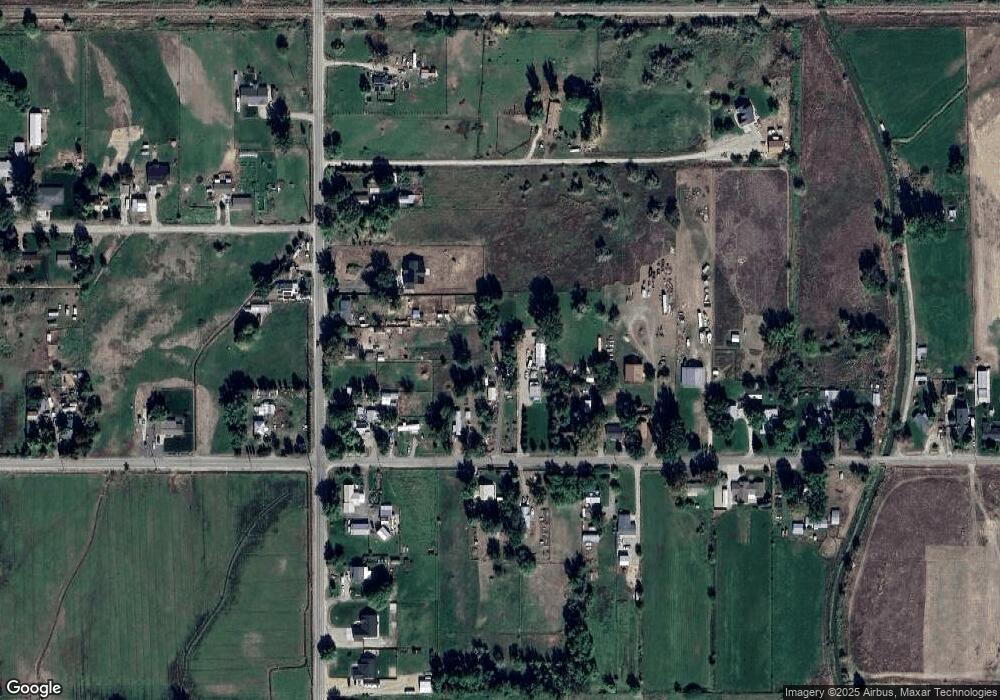
Map
Nearby Homes
- 1732 Sandbar Rd
- 1676 Sandbar Rd
- 1668 Sandbar Rd
- TBD Meyer Ln Lot 1
- 2589 E Jonagold Ct
- 1508 E Main St Unit 42
- 3013 Gala Trail
- 1111 E Main St
- 1023 E Phillips St
- 701 Monte Vista Dr Unit 48
- 701 Monte Vista Dr Unit 11
- 701 Monte Vista Dr Unit 16
- TBD E Locust St
- 1360 Jordan Ln
- Lot 8 Corbett Rd
- 115 N Moffatt Ave
- 2111 Feltham Peak Dr
- 2910 Cottonwood Ln
- TBD Cotton Wood Ln
- TBD Cottonwood Ln
- 608 N Substation Rd
- 2230 E Locust St
- 2232 E Locust St
- 2246 E Locust St
- 2006 E Locust St
- 2006 E Locust St Unit 2
- 620 N Sub Station Rd
- 616 N Sub Station Rd
- 2258 E Locust St
- 616 N Substation Rd
- 620 N Substation Rd
- 2006 E Locust St
- 2342 E Locust St
- 2225 E Locust St
- 710 N Sub Station Rd
- 2005 E Locust St
- 2249 E Locust St
- 619 N Sub Station Rd
- 2354 E Locust St
- 0 Tbd East Locust St