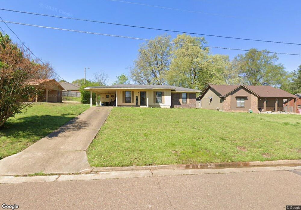
6081 Blocker St Olive Branch, MS 38654
Estimated Value: $183,541 - $221,000
3
Beds
--
Bath
1,236
Sq Ft
$163/Sq Ft
Est. Value
About This Home
This home is located at 6081 Blocker St, Olive Branch, MS 38654 and is currently estimated at $201,385, approximately $162 per square foot. 6081 Blocker St is a home located in DeSoto County with nearby schools including Olive Branch Elementary School, Chickasaw Elementary School, and Olive Branch Middle School.
Ownership History
Date
Name
Owned For
Owner Type
Purchase Details
Closed on
May 18, 2020
Sold by
Beecroft James R and Beecroft Tern C
Bought by
Gowen Rental Group Llc
Current Estimated Value
Purchase Details
Closed on
Feb 14, 2020
Sold by
Beecroft Terri C
Bought by
Beecroft James R
Create a Home Valuation Report for This Property
The Home Valuation Report is an in-depth analysis detailing your home's value as well as a comparison with similar homes in the area
Home Values in the Area
Average Home Value in this Area
Purchase History
| Date | Buyer | Sale Price | Title Company |
|---|---|---|---|
| Gowen Rental Group Llc | -- | Guardian Title | |
| Beecroft James R | -- | None Available |
Source: Public Records
Tax History Compared to Growth
Tax History
| Year | Tax Paid | Tax Assessment Tax Assessment Total Assessment is a certain percentage of the fair market value that is determined by local assessors to be the total taxable value of land and additions on the property. | Land | Improvement |
|---|---|---|---|---|
| 2024 | $1,341 | $9,828 | $2,250 | $7,578 |
| 2023 | $1,341 | $9,828 | $0 | $0 |
| 2022 | $1,341 | $9,828 | $2,250 | $7,578 |
| 2021 | $1,341 | $9,828 | $2,250 | $7,578 |
| 2020 | $839 | $6,147 | $1,500 | $4,647 |
| 2019 | $839 | $6,147 | $1,500 | $4,647 |
| 2017 | $0 | $10,474 | $5,987 | $4,487 |
| 2016 | $821 | $5,987 | $1,500 | $4,487 |
| 2015 | $821 | $10,474 | $5,987 | $4,487 |
| 2014 | -- | $5,987 | $0 | $0 |
| 2013 | -- | $5,987 | $0 | $0 |
Source: Public Records
Map
Nearby Homes
- 5295 Blocker St
- 9113 Rue Orleans Ln
- 6180 Rd
- 5841 Blocker St
- 6748 Cockrum Rd
- 5648 Blocker St
- 9270 College St
- 0 Mid Dr S Unit 4100819
- 0 Caroma Unit 10199426
- 0 Caroma Unit 4006992
- 6041 Allen Pkwy W
- 9800 Cherokee Dr
- 9759 Pigeon Roost Park Cir
- 9821 Morgan Manor Dr
- 8911 Oak Branch Ln
- 5619 Eagleston Dr
- 8817 Parkview Oaks Cir
- 5676 Southbend Ln
- 8897 Parkview Oaks Cir
- 2914 Cypress Lake Dr S
- 6095 Blocker St
- 6109 Blocker St
- 6041 Blocker St
- 6041 Blocker St Unit 1
- 6096 Shadow Oaks Cove S
- 6062 Shadow Oaks Cove S
- 6088 Blocker St
- 6076 Blocker St
- 6110 Shadow Oaks Cove S
- 6082 Shadow Oaks Cove S
- 6064 Blocker St
- 6039 Blocker St
- 6056 Shadow Oaks Cove S
- 6052 Blocker St
- 0 Brooks Dr Unit 2207130
- 0 Brooks Dr Unit 2207131
- 0 Brooks Dr Unit Lot 185
- 6135 Blocker St
- 6093 Shadow Oaks Cove S