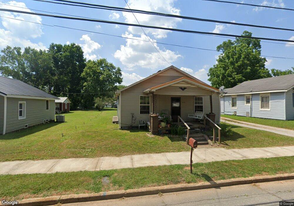
609 E Main St Decherd, TN 37324
Estimated Value: $91,516 - $209,000
Studio
1
Bath
1,232
Sq Ft
$127/Sq Ft
Est. Value
About This Home
This home is located at 609 E Main St, Decherd, TN 37324 and is currently estimated at $156,629, approximately $127 per square foot. 609 E Main St is a home located in Franklin County with nearby schools including North Middle School, Franklin County High School, and School of the Good Shepherd.
Ownership History
Date
Name
Owned For
Owner Type
Purchase Details
Closed on
Aug 6, 2004
Sold by
Winton Jennie Ann Hill
Bought by
Winton Paul Douglas
Current Estimated Value
Purchase Details
Closed on
Nov 9, 1998
Sold by
Stubblefield Lester R
Bought by
Stubblefield Lester R
Purchase Details
Closed on
Oct 27, 1998
Sold by
Malone Robert V
Bought by
Harper Billy and Harper Sara
Purchase Details
Closed on
Aug 7, 1997
Sold by
Armstrong William Gary
Bought by
Armstrong William G and Armstrong Bett
Purchase Details
Closed on
Jul 15, 1996
Sold by
Bowlen Tommy C
Bought by
Faris Barbara G
Purchase Details
Closed on
Jul 16, 1987
Purchase Details
Closed on
Mar 30, 1987
Purchase Details
Closed on
Dec 30, 1986
Purchase Details
Closed on
Oct 14, 1977
Create a Home Valuation Report for This Property
The Home Valuation Report is an in-depth analysis detailing your home's value as well as a comparison with similar homes in the area
Purchase History
| Date | Buyer | Sale Price | Title Company |
|---|---|---|---|
| Winton Paul Douglas | -- | -- | |
| Stubblefield Lester R | $18,000 | -- | |
| Harper Billy | $14,500 | -- | |
| Armstrong William G | $12,900 | -- | |
| Faris Barbara G | $58,500 | -- | |
| -- | $2,500 | -- | |
| -- | -- | -- | |
| -- | $2,000 | -- | |
| -- | -- | -- |
Source: Public Records
Tax History
| Year | Tax Paid | Tax Assessment Tax Assessment Total Assessment is a certain percentage of the fair market value that is determined by local assessors to be the total taxable value of land and additions on the property. | Land | Improvement |
|---|---|---|---|---|
| 2025 | -- | $16,875 | $1,625 | $15,250 |
| 2024 | -- | $16,875 | $1,625 | $15,250 |
| 2023 | $439 | $16,875 | $1,625 | $15,250 |
| 2022 | $489 | $18,775 | $1,625 | $17,150 |
| 2021 | $287 | $18,775 | $1,625 | $17,150 |
| 2020 | $411 | $10,250 | $1,200 | $9,050 |
| 2019 | $411 | $10,250 | $1,200 | $9,050 |
| 2018 | $390 | $10,250 | $1,200 | $9,050 |
| 2017 | $390 | $10,250 | $1,200 | $9,050 |
| 2016 | $313 | $8,225 | $1,200 | $7,025 |
| 2015 | $313 | $8,225 | $1,200 | $7,025 |
| 2014 | $313 | $8,217 | $0 | $0 |
Source: Public Records
Map
Nearby Homes
- 107 N West St
- 207 Powell St
- 404 Horton St
- 502 E Market St
- 0 N Bratton St
- 206 Hotel St
- 202 W Main St
- 501 W Broad St
- 203 5th Ave N
- 909 Cumberland St Unit 911
- 201 10th Ave N
- 1105 Cumberland St Unit 1107
- 44 Flint Dr
- 62 Modena Place
- 141 Modena Cir
- 240 Dogwood Dr
- 0 Blue Springs Road Tract 2 & 3 Unit RTC2943051
- 1001 Williams St
- 401 E Petty Ln
- 208 Tammy Dr
Your Personal Tour Guide
Ask me questions while you tour the home.