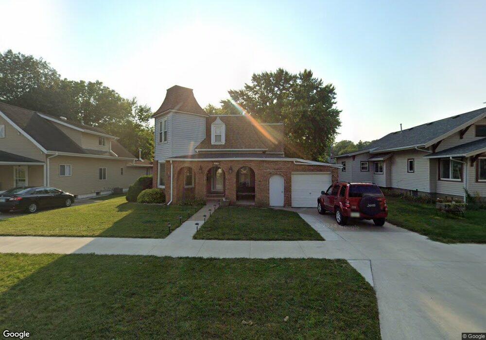
609 Euclid Ave Cherokee, IA 51012
Estimated Value: $93,000 - $116,838
3
Beds
1
Bath
1,604
Sq Ft
$65/Sq Ft
Est. Value
About This Home
This home is located at 609 Euclid Ave, Cherokee, IA 51012 and is currently estimated at $104,960, approximately $65 per square foot. 609 Euclid Ave is a home located in Cherokee County with nearby schools including Cherokee Elementary School, Cherokee Middle School, and Washington High School.
Ownership History
Date
Name
Owned For
Owner Type
Purchase Details
Closed on
Nov 13, 2017
Sold by
Hirschman Catherine E and Hirschman Richard L
Bought by
Machin Barbara M Perez
Current Estimated Value
Home Financials for this Owner
Home Financials are based on the most recent Mortgage that was taken out on this home.
Original Mortgage
$63,000
Outstanding Balance
$52,791
Interest Rate
3.85%
Mortgage Type
New Conventional
Estimated Equity
$52,169
Purchase Details
Closed on
Sep 7, 2005
Sold by
Nicolaisen Vernie and Nicolaisen Fern
Bought by
Hirschman Catherine E and Hirschman Richard L
Home Financials for this Owner
Home Financials are based on the most recent Mortgage that was taken out on this home.
Original Mortgage
$19,000
Interest Rate
6.01%
Mortgage Type
New Conventional
Create a Home Valuation Report for This Property
The Home Valuation Report is an in-depth analysis detailing your home's value as well as a comparison with similar homes in the area
Home Values in the Area
Average Home Value in this Area
Purchase History
| Date | Buyer | Sale Price | Title Company |
|---|---|---|---|
| Machin Barbara M Perez | $60,000 | None Available | |
| Hirschman Catherine E | $20,000 | None Available |
Source: Public Records
Mortgage History
| Date | Status | Borrower | Loan Amount |
|---|---|---|---|
| Open | Machin Barbara M Perez | $63,000 | |
| Previous Owner | Hirschman Catherine E | $19,000 |
Source: Public Records
Tax History Compared to Growth
Tax History
| Year | Tax Paid | Tax Assessment Tax Assessment Total Assessment is a certain percentage of the fair market value that is determined by local assessors to be the total taxable value of land and additions on the property. | Land | Improvement |
|---|---|---|---|---|
| 2025 | $1,212 | $93,610 | $12,600 | $81,010 |
| 2024 | $1,212 | $83,220 | $12,600 | $70,620 |
| 2023 | $1,226 | $83,220 | $12,600 | $70,620 |
| 2022 | $1,076 | $67,390 | $9,450 | $57,940 |
| 2021 | $1,076 | $67,390 | $9,450 | $57,940 |
| 2020 | $1,108 | $67,390 | $9,450 | $57,940 |
| 2019 | $1,176 | $67,390 | $0 | $0 |
| 2018 | $390 | $28,765 | $0 | $0 |
| 2017 | $400 | $28,765 | $0 | $0 |
| 2016 | $388 | $28,765 | $0 | $0 |
| 2015 | $314 | $24,585 | $0 | $0 |
| 2014 | $314 | $24,585 | $0 | $0 |
Source: Public Records
Map
Nearby Homes
- 613 Euclid Ave
- 607 Euclid Ave
- 617 Euclid Ave
- 601 Euclid Ave
- 222 E Bluff St
- 625 Euclid Ave
- 634 Central St
- 0 Ash St Unit 44019816
- 0 Ash St Unit 44018852
- 220 E Bluff St
- 628 1/2 N 1st St
- 628 1/2 N 1st St Unit St
- 616 Euclid Ave
- 627 Euclid Ave
- 618 Euclid Ave
- 218 E Bluff St
- 614 Euclid Ave
- 471 Euclid Ave
- 622 Euclid Ave
- 600 Euclid Ave