Estimated Value: $329,000 - $383,000
3
Beds
1
Bath
1,611
Sq Ft
$219/Sq Ft
Est. Value
About This Home
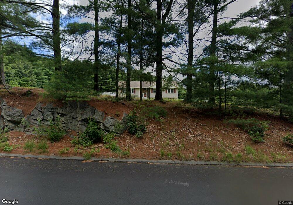
This home is located at 61 Anderson Rd, Ware, MA 01082 and is currently estimated at $352,242, approximately $218 per square foot. 61 Anderson Rd is a home located in Hampshire County with nearby schools including Stanley M. Koziol Elementary School, Ware Middle School, and Ware Junior/Senior High School.
Ownership History
Date
Name
Owned For
Owner Type
Purchase Details
Closed on
Jun 23, 2025
Sold by
Harnois Robert H
Bought by
Archambault Leslie A
Current Estimated Value
Purchase Details
Closed on
Apr 1, 2004
Sold by
Goddu Gloria J and Harnois Gloria J
Bought by
Harnois Robert H
Purchase Details
Closed on
Nov 26, 1974
Bought by
Harnois Robert H
Create a Home Valuation Report for This Property
The Home Valuation Report is an in-depth analysis detailing your home's value as well as a comparison with similar homes in the area
Home Values in the Area
Average Home Value in this Area
Purchase History
| Date | Buyer | Sale Price | Title Company |
|---|---|---|---|
| Archambault Leslie A | -- | None Available | |
| Archambault Leslie A | -- | None Available | |
| Harnois Robert H | -- | -- | |
| Harnois Robert H | -- | -- | |
| Harnois Robert H | -- | -- |
Source: Public Records
Mortgage History
| Date | Status | Borrower | Loan Amount |
|---|---|---|---|
| Previous Owner | Harnois Robert H | $77,568 | |
| Previous Owner | Harnois Robert H | $84,000 | |
| Previous Owner | Harnois Robert H | $84,000 |
Source: Public Records
Tax History
| Year | Tax Paid | Tax Assessment Tax Assessment Total Assessment is a certain percentage of the fair market value that is determined by local assessors to be the total taxable value of land and additions on the property. | Land | Improvement |
|---|---|---|---|---|
| 2025 | $4,137 | $274,700 | $54,100 | $220,600 |
| 2024 | $3,993 | $244,500 | $51,000 | $193,500 |
| 2023 | $3,725 | $215,800 | $49,300 | $166,500 |
| 2022 | $3,560 | $184,100 | $45,600 | $138,500 |
| 2021 | $3,463 | $171,600 | $45,600 | $126,000 |
| 2020 | $3,480 | $168,700 | $45,600 | $123,100 |
| 2019 | $3,409 | $168,700 | $45,600 | $123,100 |
| 2018 | $3,303 | $159,500 | $44,400 | $115,100 |
| 2017 | $3,224 | $155,200 | $44,400 | $110,800 |
| 2016 | $3,137 | $155,200 | $44,400 | $110,800 |
| 2015 | $3,050 | $155,200 | $44,400 | $110,800 |
| 2014 | $3,016 | $164,700 | $45,800 | $118,900 |
Source: Public Records
Map
Nearby Homes
- 310 Palmer Rd
- 201 West St
- 201 Belchertown Rd
- LOT 3 Monson Turnpike Rd
- 375 Belchertown Rd
- 24 Clinton St
- 30 Warebrook Village
- 67 Babcock Tavern Rd
- 87 W Main St
- Lot 16 Coldbrook Dr
- Lot 20 Coldbrook Dr
- Lot 22 Coldbrook Dr
- Lot 13 Coldbrook Dr
- Lot 25 Coldbrook Dr
- 23 West St Unit 25
- 7 Webb Ct
- 60 Quaboag Valley Co Op St
- 6 Winslow Rd
- 44 South St
- 79 Pleasant St
Your Personal Tour Guide
Ask me questions while you tour the home.