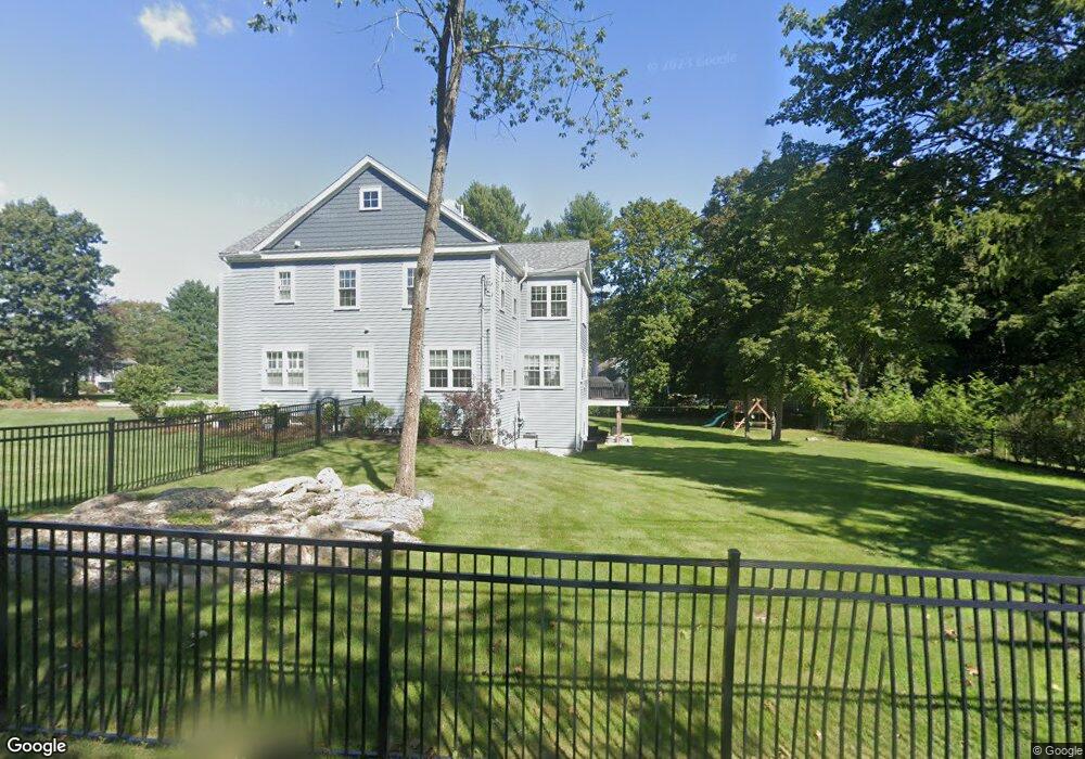
61 Argilla Rd Andover, MA 01810
West Andover NeighborhoodEstimated Value: $1,952,000 - $2,243,000
4
Beds
5
Baths
7,165
Sq Ft
$298/Sq Ft
Est. Value
About This Home
This home is located at 61 Argilla Rd, Andover, MA 01810 and is currently estimated at $2,133,051, approximately $297 per square foot. 61 Argilla Rd is a home located in Essex County with nearby schools including West Elementary School, Andover West Middle School, and Andover High School.
Ownership History
Date
Name
Owned For
Owner Type
Purchase Details
Closed on
Aug 26, 2016
Sold by
Js2 Homes Llc
Bought by
Ward Daniel J and Ward Heather C
Current Estimated Value
Home Financials for this Owner
Home Financials are based on the most recent Mortgage that was taken out on this home.
Original Mortgage
$1,000,000
Outstanding Balance
$789,787
Interest Rate
3.42%
Mortgage Type
Unknown
Estimated Equity
$1,343,264
Purchase Details
Closed on
May 20, 2015
Sold by
Tomkinson T
Bought by
Js 2 Homes Llc
Purchase Details
Closed on
Dec 1, 2014
Sold by
Timkinson Ft
Bought by
Tomkinson T
Purchase Details
Closed on
Mar 6, 2008
Sold by
Tomkinson Lester E and Tomkinson Barbara E
Bought by
Tomkinson Ft and Tomkinson Lester E
Create a Home Valuation Report for This Property
The Home Valuation Report is an in-depth analysis detailing your home's value as well as a comparison with similar homes in the area
Home Values in the Area
Average Home Value in this Area
Purchase History
| Date | Buyer | Sale Price | Title Company |
|---|---|---|---|
| Ward Daniel J | $1,260,000 | -- | |
| Js 2 Homes Llc | $300,000 | -- | |
| Tomkinson T | -- | -- | |
| Tomkinson Ft | -- | -- |
Source: Public Records
Mortgage History
| Date | Status | Borrower | Loan Amount |
|---|---|---|---|
| Open | Ward Daniel J | $1,000,000 |
Source: Public Records
Tax History
| Year | Tax Paid | Tax Assessment Tax Assessment Total Assessment is a certain percentage of the fair market value that is determined by local assessors to be the total taxable value of land and additions on the property. | Land | Improvement |
|---|---|---|---|---|
| 2024 | $22,253 | $1,727,700 | $532,800 | $1,194,900 |
| 2023 | $21,392 | $1,566,000 | $479,800 | $1,086,200 |
| 2022 | $20,285 | $1,389,400 | $417,400 | $972,000 |
| 2021 | $19,536 | $1,277,700 | $379,400 | $898,300 |
| 2020 | $18,832 | $1,254,600 | $370,300 | $884,300 |
| 2019 | $16,568 | $1,085,000 | $338,300 | $746,700 |
| 2018 | $16,470 | $1,053,100 | $325,300 | $727,800 |
| 2017 | $15,818 | $1,042,000 | $318,900 | $723,100 |
| 2016 | $8,394 | $566,400 | $318,900 | $247,500 |
| 2015 | -- | $539,500 | $306,700 | $232,800 |
Source: Public Records
Map
Nearby Homes
- 11 Rennie Dr
- 1 Delisio Dr
- 105 Central St
- 241 Lowell St Unit 3
- 3 Torr St
- 11 Cuba St
- 3 Caileigh Ct
- 18 Dale St Unit 9D
- 6 Exeter Way
- 37 Crenshaw Ln Unit 37
- 31 Crenshaw Ln Unit 31
- 54 Birch Rd
- 31 Porter Rd
- 96 N Main St Unit 3
- 100.5 Main St Unit Q
- 40 Chandler Cir
- 154 Main St
- 33 Chestnut St Unit 2
- 4 Hammond Way
- 36 High St
Your Personal Tour Guide
Ask me questions while you tour the home.