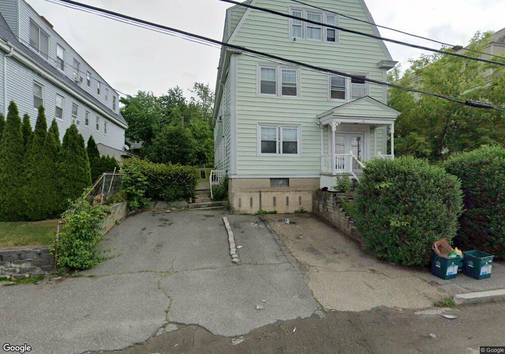
61 Barber Ave Worcester, MA 01606
Greendale NeighborhoodEstimated Value: $593,932 - $797,000
9
Beds
3
Baths
3,672
Sq Ft
$186/Sq Ft
Est. Value
About This Home
This home is located at 61 Barber Ave, Worcester, MA 01606 and is currently estimated at $684,233, approximately $186 per square foot. 61 Barber Ave is a home located in Worcester County with nearby schools including Jacob Hiatt Magnet School, Chandler Magnet, and Thorndyke Road School.
Ownership History
Date
Name
Owned For
Owner Type
Purchase Details
Closed on
Mar 30, 2010
Sold by
Ostlund John A and Ostlund Lynne J
Bought by
Castonguay Jeffrey J
Current Estimated Value
Home Financials for this Owner
Home Financials are based on the most recent Mortgage that was taken out on this home.
Original Mortgage
$260,200
Outstanding Balance
$172,740
Interest Rate
5.25%
Mortgage Type
FHA
Estimated Equity
$511,493
Create a Home Valuation Report for This Property
The Home Valuation Report is an in-depth analysis detailing your home's value as well as a comparison with similar homes in the area
Home Values in the Area
Average Home Value in this Area
Purchase History
| Date | Buyer | Sale Price | Title Company |
|---|---|---|---|
| Castonguay Jeffrey J | $265,000 | -- | |
| Castonguay Jeffrey J | $265,000 | -- |
Source: Public Records
Mortgage History
| Date | Status | Borrower | Loan Amount |
|---|---|---|---|
| Open | Castonguay Jeffrey J | $260,200 | |
| Closed | Castonguay Jeffrey J | $260,200 | |
| Previous Owner | Castonguay Jeffrey J | $204,800 | |
| Previous Owner | Castonguay Jeffrey J | $60,000 |
Source: Public Records
Tax History
| Year | Tax Paid | Tax Assessment Tax Assessment Total Assessment is a certain percentage of the fair market value that is determined by local assessors to be the total taxable value of land and additions on the property. | Land | Improvement |
|---|---|---|---|---|
| 2025 | $8,066 | $611,500 | $108,000 | $503,500 |
| 2024 | $7,469 | $543,200 | $108,000 | $435,200 |
| 2023 | $7,138 | $497,800 | $93,900 | $403,900 |
| 2022 | $6,204 | $407,900 | $75,100 | $332,800 |
| 2021 | $5,506 | $338,200 | $60,100 | $278,100 |
| 2020 | $5,296 | $311,500 | $60,100 | $251,400 |
| 2019 | $5,296 | $294,200 | $54,000 | $240,200 |
| 2018 | $5,183 | $274,100 | $54,000 | $220,100 |
| 2017 | $4,870 | $253,400 | $54,000 | $199,400 |
| 2016 | $4,662 | $226,200 | $41,000 | $185,200 |
| 2015 | $4,540 | $226,200 | $41,000 | $185,200 |
| 2014 | $4,420 | $226,200 | $41,000 | $185,200 |
Source: Public Records
Map
Nearby Homes
- 63 Barber Ave Unit 3
- 63 Barber Ave Unit 2
- 63 Barber Ave
- 59 Barber Ave
- 67 Barber Ave
- 53 Barber Ave
- 1 Wildey Ave
- 1 Ericsson St
- 49 Barber Ave
- 1 Ericsson St
- 290 W Boylston St
- 292 W Boylston St
- 5 Ericsson St
- 5 Ericsson St Unit 1
- 5 Ericsson St Unit 3
- 3 Wildey Ave
- 3A Wildey Ave
- 1 Ridgley St
- 8 Wildey Ave
- 7 Ericsson St
Your Personal Tour Guide
Ask me questions while you tour the home.