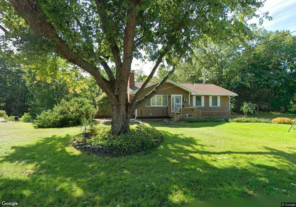
61 Buckmeadow Rd Nashua, NH 03062
Southwest Nashua NeighborhoodEstimated Value: $640,000 - $713,000
3
Beds
3
Baths
2,284
Sq Ft
$298/Sq Ft
Est. Value
About This Home
This home is located at 61 Buckmeadow Rd, Nashua, NH 03062 and is currently estimated at $679,506, approximately $297 per square foot. 61 Buckmeadow Rd is a home located in Hillsborough County with nearby schools including Main Dunstable School, Elm Street Middle School, and Nashua High School South.
Ownership History
Date
Name
Owned For
Owner Type
Purchase Details
Closed on
Jul 2, 2003
Sold by
Lund Stanley J and Lund Carol A
Bought by
Renaud Delores L
Current Estimated Value
Home Financials for this Owner
Home Financials are based on the most recent Mortgage that was taken out on this home.
Original Mortgage
$259,000
Interest Rate
5.46%
Create a Home Valuation Report for This Property
The Home Valuation Report is an in-depth analysis detailing your home's value as well as a comparison with similar homes in the area
Home Values in the Area
Average Home Value in this Area
Purchase History
| Date | Buyer | Sale Price | Title Company |
|---|---|---|---|
| Renaud Delores L | $370,000 | -- |
Source: Public Records
Mortgage History
| Date | Status | Borrower | Loan Amount |
|---|---|---|---|
| Open | Renaud Delores L | $170,000 | |
| Closed | Renaud Delores L | $259,000 |
Source: Public Records
Tax History Compared to Growth
Tax History
| Year | Tax Paid | Tax Assessment Tax Assessment Total Assessment is a certain percentage of the fair market value that is determined by local assessors to be the total taxable value of land and additions on the property. | Land | Improvement |
|---|---|---|---|---|
| 2024 | $9,362 | $588,800 | $197,000 | $391,800 |
| 2023 | $9,048 | $496,300 | $157,600 | $338,700 |
| 2022 | $8,968 | $496,300 | $157,600 | $338,700 |
| 2021 | $8,359 | $360,000 | $108,700 | $251,300 |
| 2020 | $8,623 | $381,400 | $108,700 | $272,700 |
| 2019 | $8,299 | $381,400 | $108,700 | $272,700 |
| 2018 | $8,089 | $381,400 | $108,700 | $272,700 |
| 2017 | $7,969 | $309,000 | $89,200 | $219,800 |
| 2016 | $7,747 | $309,000 | $89,200 | $219,800 |
| 2015 | $7,580 | $309,000 | $89,200 | $219,800 |
| 2014 | $7,431 | $309,000 | $89,200 | $219,800 |
Source: Public Records
Map
Nearby Homes
- 5 Doucet Ave
- 1 Doucet Ave
- 3 Doucet Ave Unit The Cub
- 7 Wilderness Dr
- 63 Wilderness Dr Unit Derby 2
- 61 Wilderness Dr
- 2 Wilderness Dr
- 59 Wilderness Dr
- 3 Wilderness Dr
- 6 Wilderness Dr
- 79 Wilderness Dr
- 57 Wilderness Dr
- 1 Wilderness Dr
- 41 Pinebrook Rd
- 4 Wilderness Dr
- 50 Wilderness Dr
- 65 Wilderness Dr
- 91 Century Way
- 7 Doucet Ave
- 58 Wilderness Dr
- 63 Buckmeadow Rd
- 59 Buckmeadow Rd
- 86 Ridge Rd
- 80 Ridge Rd
- 15 Moonstone Ct
- 15 Moonstone Ct Unit 15
- 12 Moonstone Ct
- 55 Buckmeadow Rd
- 1 Winn Rd
- 2 Winn Rd
- 10 Moonstone Ct
- 76 Ridge Rd Unit 698
- 11 Moonstone Ct
- 2 Federal Hill Rd
- 74 Ridge Rd
- 9 Moonstone Ct
- 54 Buckmeadow Rd
- 54 Buckmeadow Rd
- 8 Moonstone Ct
- 4 Winn Rd