61 Emerson Hill Rd New Ipswich, NH 03071
Estimated Value: $474,000 - $543,000
4
Beds
2
Baths
1,728
Sq Ft
$297/Sq Ft
Est. Value
About This Home
This home is located at 61 Emerson Hill Rd, New Ipswich, NH 03071 and is currently estimated at $512,922, approximately $296 per square foot. 61 Emerson Hill Rd is a home with nearby schools including Highbridge Hill Elementary School, Boynton Middle School, and Mascenic Regional High School.
Ownership History
Date
Name
Owned For
Owner Type
Purchase Details
Closed on
Nov 15, 2007
Sold by
Gray Jeffrey L
Bought by
Lakanen Dean and Lakanen Kelly J
Current Estimated Value
Home Financials for this Owner
Home Financials are based on the most recent Mortgage that was taken out on this home.
Original Mortgage
$242,000
Interest Rate
6.41%
Mortgage Type
Purchase Money Mortgage
Create a Home Valuation Report for This Property
The Home Valuation Report is an in-depth analysis detailing your home's value as well as a comparison with similar homes in the area
Home Values in the Area
Average Home Value in this Area
Purchase History
| Date | Buyer | Sale Price | Title Company |
|---|---|---|---|
| Lakanen Dean | $242,000 | -- |
Source: Public Records
Mortgage History
| Date | Status | Borrower | Loan Amount |
|---|---|---|---|
| Open | Lakanen Dean | $233,200 | |
| Closed | Lakanen Dean | $242,000 |
Source: Public Records
Tax History Compared to Growth
Tax History
| Year | Tax Paid | Tax Assessment Tax Assessment Total Assessment is a certain percentage of the fair market value that is determined by local assessors to be the total taxable value of land and additions on the property. | Land | Improvement |
|---|---|---|---|---|
| 2024 | $7,286 | $478,700 | $105,000 | $373,700 |
| 2023 | $7,060 | $274,700 | $56,000 | $218,700 |
| 2022 | $6,458 | $274,700 | $56,000 | $218,700 |
| 2021 | $6,104 | $274,700 | $56,000 | $218,700 |
| 2020 | $5,837 | $274,700 | $56,000 | $218,700 |
| 2019 | $5,969 | $274,700 | $56,000 | $218,700 |
| 2018 | $6,297 | $224,900 | $50,000 | $174,900 |
| 2017 | $6,005 | $224,900 | $50,000 | $174,900 |
| 2016 | $5,899 | $224,900 | $50,000 | $174,900 |
| 2015 | $6,277 | $224,900 | $50,000 | $174,900 |
| 2014 | $6,234 | $224,900 | $50,000 | $174,900 |
| 2013 | $5,546 | $247,800 | $75,000 | $172,800 |
Source: Public Records
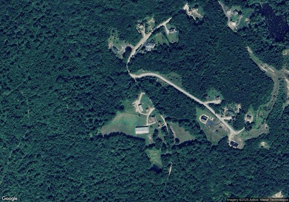
Map
Nearby Homes
- 359 Poor Farm Rd
- 18 Westbrook Dr
- 49 Valley Rd
- 63 Taylor Rd
- 0 Rindge State Rd
- 10 Sun Cliff Dr
- 17 Ashburnham Rd
- 5 Ashby Rd
- 134 Davis Village Rd
- 44 Rindge State Rd
- 31 Cascade Dr Unit 31
- 999 Jones Hill Rd
- 811 Turnpike Rd
- 66 Wellington Rd
- 2409 W State Rd
- 0 Lake Haven Ln
- 0 Ashby Rd
- 446 Ashby Rd
- 55 Main St
- 43 Appleton Rd
- Lot 7 Huntee Loop Rd
- 9 Emerson Hill Rd
- 62 Emerson Hill Rd
- 41 Emerson Hill Rd
- 38 Emerson Hill Rd
- 50 Emerson Hill Rd
- 58 Emerson Hill Rd
- 5 Huntee Loop Rd
- 280 Binney Hill Rd
- 242 Binney Hill Rd
- 9-3 Emerson Hill Rd
- 9-3-10 Emerson Hill Rd
- 266 Binney Hill Rd
- 272 Binney Hill Rd
- 6-2 Poor Farm Rd
- 259 Binney Hill Rd
- 8 Poor Farm Rd
- 277 Binney Hill Rd
- 13 Huntee Loop Rd
- 21 Huntee Loop Rd