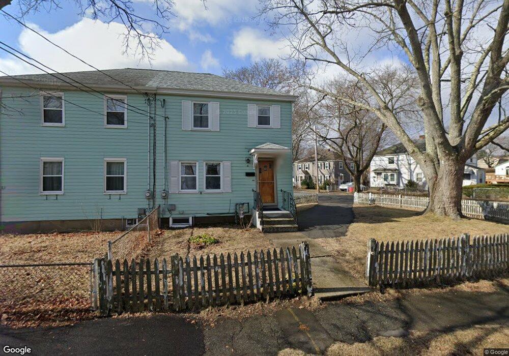
61 Fremont St Arlington, MA 02474
East Arlington NeighborhoodEstimated Value: $635,581 - $731,000
2
Beds
2
Baths
912
Sq Ft
$727/Sq Ft
Est. Value
About This Home
This home is located at 61 Fremont St, Arlington, MA 02474 and is currently estimated at $662,895, approximately $726 per square foot. 61 Fremont St is a home located in Middlesex County with nearby schools including Thompson School, Ottoson Middle School, and Arlington High School.
Ownership History
Date
Name
Owned For
Owner Type
Purchase Details
Closed on
Oct 29, 2009
Sold by
Tibbetts Steven F and Tibbetts Gary F
Bought by
Zucker Michael
Current Estimated Value
Home Financials for this Owner
Home Financials are based on the most recent Mortgage that was taken out on this home.
Original Mortgage
$208,000
Outstanding Balance
$136,232
Interest Rate
5.06%
Mortgage Type
Purchase Money Mortgage
Estimated Equity
$526,663
Create a Home Valuation Report for This Property
The Home Valuation Report is an in-depth analysis detailing your home's value as well as a comparison with similar homes in the area
Home Values in the Area
Average Home Value in this Area
Purchase History
| Date | Buyer | Sale Price | Title Company |
|---|---|---|---|
| Zucker Michael | $260,000 | -- |
Source: Public Records
Mortgage History
| Date | Status | Borrower | Loan Amount |
|---|---|---|---|
| Open | Zucker Michael | $208,000 |
Source: Public Records
Tax History Compared to Growth
Tax History
| Year | Tax Paid | Tax Assessment Tax Assessment Total Assessment is a certain percentage of the fair market value that is determined by local assessors to be the total taxable value of land and additions on the property. | Land | Improvement |
|---|---|---|---|---|
| 2025 | $6,290 | $584,000 | $412,700 | $171,300 |
| 2024 | $5,723 | $540,400 | $392,000 | $148,400 |
| 2023 | $5,562 | $496,200 | $350,800 | $145,400 |
| 2022 | $5,348 | $468,300 | $330,100 | $138,200 |
| 2021 | $5,311 | $468,300 | $330,100 | $138,200 |
| 2020 | $41 | $468,300 | $330,100 | $138,200 |
| 2019 | $4,597 | $408,300 | $299,200 | $109,100 |
| 2018 | $5,020 | $392,800 | $283,700 | $109,100 |
| 2017 | $4,480 | $356,700 | $247,600 | $109,100 |
| 2016 | $4,104 | $320,600 | $211,500 | $109,100 |
| 2015 | $3,839 | $283,300 | $196,000 | $87,300 |
Source: Public Records
Map
Nearby Homes
- 2 Norcross Cir Unit 4
- 327 Alewife Brook Pkwy Unit A
- 69 Sterling St
- 16 High St Unit 2
- 21 High St
- 80 Broadway Unit 4C
- 80 Broadway Unit PH
- 79 Fairfax St Unit 79
- 6 Gordon Rd
- 65 Marathon St Unit L
- 63 Marathon St Unit R
- 31 Fairfax St
- 54 Marathon St Unit 1
- 233 Powder House Blvd
- 9 Woods Ave
- 62-64 Waldo Rd
- 395 Alewife Brook Pkwy Unit PH E
- 16 Hamilton Rd
- 33 Hamilton St
- 33 Hamilton St Unit 2