61 George Allen Rd West Brookfield, MA 01585
Estimated Value: $404,000 - $513,000
2
Beds
3
Baths
1,200
Sq Ft
$389/Sq Ft
Est. Value
About This Home
This home is located at 61 George Allen Rd, West Brookfield, MA 01585 and is currently estimated at $466,913, approximately $389 per square foot. 61 George Allen Rd is a home located in Worcester County with nearby schools including Quaboag Regional High School.
Ownership History
Date
Name
Owned For
Owner Type
Purchase Details
Closed on
Dec 18, 2019
Sold by
Stjohn Gerald A and Stjohn Paula A
Bought by
Stjohn Gerald
Current Estimated Value
Purchase Details
Closed on
Aug 5, 2011
Sold by
Wade Michael R and Wade Pamela R
Bought by
Stjohn Gerald A and Stjohn Paula A
Purchase Details
Closed on
Nov 1, 2007
Sold by
Boudreau Perry
Bought by
Wade Michael R and Wade Pamela R
Purchase Details
Closed on
Jun 28, 2005
Sold by
Kenniston Merton E
Bought by
Boudreau Perry
Purchase Details
Closed on
May 17, 2002
Sold by
Est Medeiros Miriam A and Guzik Anita G
Bought by
Kenniston Merton E and Kenniston Sharon A
Create a Home Valuation Report for This Property
The Home Valuation Report is an in-depth analysis detailing your home's value as well as a comparison with similar homes in the area
Home Values in the Area
Average Home Value in this Area
Purchase History
| Date | Buyer | Sale Price | Title Company |
|---|---|---|---|
| Stjohn Gerald | -- | None Available | |
| Stjohn Gerald A | $60,000 | -- | |
| Wade Michael R | $175,000 | -- | |
| Boudreau Perry | $159,000 | -- | |
| Kenniston Merton E | $92,500 | -- |
Source: Public Records
Tax History Compared to Growth
Tax History
| Year | Tax Paid | Tax Assessment Tax Assessment Total Assessment is a certain percentage of the fair market value that is determined by local assessors to be the total taxable value of land and additions on the property. | Land | Improvement |
|---|---|---|---|---|
| 2025 | $4,365 | $404,900 | $55,800 | $349,100 |
| 2024 | $4,547 | $404,900 | $55,800 | $349,100 |
| 2023 | $4,487 | $374,200 | $50,700 | $323,500 |
| 2022 | $4,320 | $326,500 | $48,200 | $278,300 |
| 2021 | $4,198 | $299,200 | $48,200 | $251,000 |
| 2020 | $3,625 | $246,600 | $48,200 | $198,400 |
| 2019 | $3,864 | $246,600 | $48,200 | $198,400 |
| 2018 | $3,530 | $238,100 | $48,200 | $189,900 |
| 2017 | $4,009 | $249,600 | $48,400 | $201,200 |
| 2016 | $3,871 | $249,600 | $48,400 | $201,200 |
| 2015 | $2,987 | $199,400 | $48,400 | $151,000 |
Source: Public Records
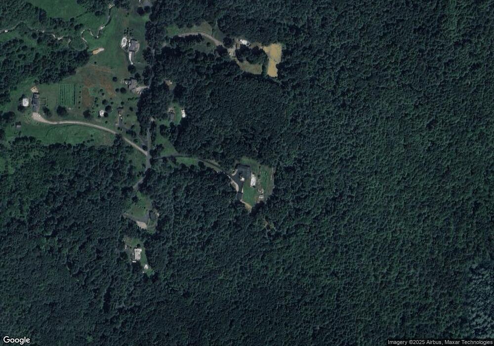
Map
Nearby Homes
- 67 E Main St
- 28 N Main St
- 4 E Main St
- 7 Church Street Extension
- 37 Central St
- 10 Green St
- 18-20 Old w Brookfield Rd
- 71 W Main St
- 9 Birch Hill Rd
- 91 W Main St
- 10 Brookfield Rd
- 30 Town Farm Rd
- 234 Wickaboag
- 61 Bates St
- 23 Mill St
- 25 Highland Trail
- 3 Town Farm Rd
- 91 Lake Shore Dr
- 19 Pine Trail
- 25 Lake Shore Dr
- 53 George Allen Rd
- 53 George Allen Rd Unit 1
- lot a George Allen Rd
- 45 George Allen Rd
- 69 George Allen Rd
- 65 George Allen Rd
- 66 George Allen Rd
- 70 George Allen Rd
- 73 George Allen Rd
- 62 George Allen Rd
- 78 George Allen Rd
- 37 George Allen Rd
- 77 George Allen Rd
- 33 George Allen Rd
- 82 George Allen Rd
- 85 George Allen Rd
- 29 George Allen Rd
- 88 George Allen Rd
- 91 George Allen Rd
- 24 George Allen Rd