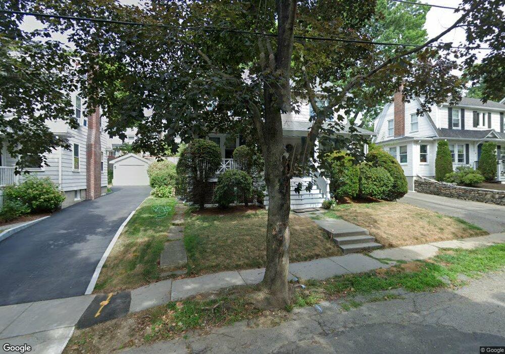
61 Hammond Rd Belmont, MA 02478
Cushing Square NeighborhoodEstimated Value: $1,149,000 - $1,593,000
3
Beds
1
Bath
1,706
Sq Ft
$825/Sq Ft
Est. Value
About This Home
This home is located at 61 Hammond Rd, Belmont, MA 02478 and is currently estimated at $1,408,199, approximately $825 per square foot. 61 Hammond Rd is a home located in Middlesex County with nearby schools including Roger Wellington Elementary School, Winthrop L Chenery Middle School, and Belmont High School.
Ownership History
Date
Name
Owned For
Owner Type
Purchase Details
Closed on
Jul 22, 2019
Sold by
Hubbard Charles R
Bought by
Hubbard Charles R and Wright Pegeen M
Current Estimated Value
Purchase Details
Closed on
Apr 8, 1987
Sold by
Evans David C
Bought by
Hubbard Charles R
Home Financials for this Owner
Home Financials are based on the most recent Mortgage that was taken out on this home.
Original Mortgage
$188,800
Interest Rate
9.02%
Mortgage Type
Purchase Money Mortgage
Create a Home Valuation Report for This Property
The Home Valuation Report is an in-depth analysis detailing your home's value as well as a comparison with similar homes in the area
Home Values in the Area
Average Home Value in this Area
Purchase History
| Date | Buyer | Sale Price | Title Company |
|---|---|---|---|
| Hubbard Charles R | -- | -- | |
| Hubbard Charles R | $236,000 | -- |
Source: Public Records
Mortgage History
| Date | Status | Borrower | Loan Amount |
|---|---|---|---|
| Previous Owner | Hubbard Charles R | $179,000 | |
| Previous Owner | Hubbard Charles R | $182,500 | |
| Previous Owner | Hubbard Charles R | $188,800 |
Source: Public Records
Tax History Compared to Growth
Tax History
| Year | Tax Paid | Tax Assessment Tax Assessment Total Assessment is a certain percentage of the fair market value that is determined by local assessors to be the total taxable value of land and additions on the property. | Land | Improvement |
|---|---|---|---|---|
| 2025 | $15,342 | $1,347,000 | $777,000 | $570,000 |
| 2024 | $13,094 | $1,240,000 | $784,000 | $456,000 |
| 2023 | $13,477 | $1,199,000 | $783,000 | $416,000 |
| 2022 | $12,751 | $1,103,000 | $716,000 | $387,000 |
| 2021 | $0 | $1,218,000 | $828,000 | $390,000 |
| 2020 | $6,639 | $1,077,000 | $699,000 | $378,000 |
| 2019 | $11,997 | $1,028,000 | $689,000 | $339,000 |
| 2018 | $4,271 | $883,000 | $557,000 | $326,000 |
| 2017 | $10,545 | $831,000 | $510,000 | $321,000 |
| 2016 | $10,412 | $829,000 | $510,000 | $319,000 |
| 2015 | $9,636 | $747,000 | $436,000 | $311,000 |
Source: Public Records
Map
Nearby Homes
- 50 Hammond Rd
- 59-61 Gilbert Rd
- 333 Common St
- 88 Palfrey Rd Unit 88
- 11 Payson Rd Unit 11
- 125 Trapelo Rd Unit 23
- 125 Trapelo Rd Unit 21
- 2 Bartlett Ave Unit 1
- 68 Payson Rd
- 263 Common St
- 38-40 Wiley Rd
- 52-54 Vincent Ave
- 532 Belmont St
- 30 Merrill Rd
- 46 Hall Ave Unit 2
- 18 Wilson Ave Unit 2
- 239 Beech St
- 748 Belmont St
- 88 Bartlett Ave
- 99 Beech St